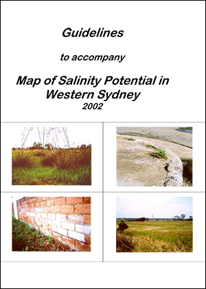
This document explains how the accompanying map should be used and what each mapping category means. The information is intended to be used as a reference for issues associated with urban development.
Guidelines to Accompany Map of Salinity Potential in Western Sydney
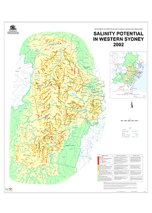
The map depicts the distribution and potential severity of salinity based on a practical understanding of the factors that cause salinity.
- Date
- 1 August 2002
- Publisher
- Department of Land and Water Conservation
- Type
- Publication
- Cost
- Free
- Language
- English
- Tags
- File PDF 369KB
- Pages 22
- Name salinity-potential-western-sydney-map-2002-guidelines.pdf