Inundation is a key component of hydrology and an important determinant of ecological response. Mapping inundation is necessary for assessing the ecological outcomes of environmental flows over varying timescales (Roberts et al. 2000; Young et al. 2006; Kingsford et al. 2010). This RERP subprogram II inundation response mapping project is built on investments made under the NSW Wetland Recovery Program (WRP).
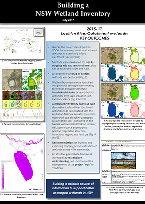
The methods developed to detect flooding from Landsat satellite imagery in the Macquarie Marshes (Thomas et al. 2010b) and Gwydir wetlands (Thomas et al. 2010c) under WRP were used in this project to map inundation extents (size) and distributions (location) in the Lowbidgee floodplain and the Great Cumbung Swamp (Figure 1).
An inundation gradient was also mapped to characterise the floodplain in terms of flood frequency. The spatial relationships between inundation frequency and vegetation distributions were determined in two floodplain wetlands: the Macquarie Marshes and Yanga National Park on the Lowbidgee floodplain (Figure 1).


