Port Stephens

Our water quality monitoring program has shown Port Stephens to have excellent water quality. Find out more about the estuary and its unique features.

Port Stephens estuary is located on the Hunter coast of New South Wales. It is classed as a drowned valley and is permanently linked to the ocean via a large deep entrance.

Port Stephens hosts a diverse range of aquatic habitats which give it enormous ecological value. It is a popular tourist destination and has high recreational value. Many businesses rely on the pristine environment of the estuary and surrounds, giving it large economic value. Its major tributaries include the Myall River, Karuah River and Tilligerry Creek.

Estuary health and features

Water quality

As part of our water quality monitoring program we assess the water quality and ecosystem health of an estuary using a range of relevant indicators. We sample a subset of the estuaries located between Taree and Wollongong every 3 years. The most recent sampling in Port Stephens was completed over the 2021–22 summer when 2 sites were sampled on a monthly basis.

Port Stephens water quality report card for algae and water clarity showing colour-coded ratings (red, orange, yellow, light green and dark green, which represent very poor, poor, fair, good and excellent, respectively). Algae is rated 'excellent' and water clarity is rated 'excellent' giving an overall rating of 'excellent' or 'A'.

This report card represents 2 water quality indicators that we routinely measure: the amount of algae present and water clarity. Low levels of these 2 indicators equate with good water quality.

The report card shows the condition of the estuary was excellent with:

  • algae abundance graded excellent (A)
  • water clarity graded excellent (A)
  • overall estuary health graded excellent (A).

Find out more about our estuary report cards and what each grade means. Read our sampling, data analysis and reporting protocols and find out how we calculate these grades.

We have monitored water quality in Port Stephens since 2010. This table shows the water quality grades for this estuary over that time.

Port Stephens historic water quality grades from 2010-11 for algae and water clarity. Colour-coded ratings (red, orange, yellow, light green and dark green represent very poor (E), poor (D), fair (C), good (B) and excellent (A), respectively).

Grades for algae, water clarity and overall are represented as:

  • A – excellent
  • B – good
  • C – fair
  • D – poor
  • E – very poor.

Physical characteristics

Estuary type: Drowned valley
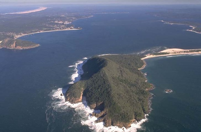
Entrance
location
Latitude (ºS) –32.71
Longitude (ºE) 152.2
Catchment area (km2) 296.8
Estuary area (km2) 134.4
Estuary volume (ML) 1,741,516.5
Average depth (m) 14.1

Tidal exchange volume

Tidal exchange volume or tidal prism data is available for this estuary. This tidal prism was measured in 1993.

Tide state Flow
(106 m3)
Local tidal
range (m)
Sydney Harbour
tidal range (m)
Ebb flow 165 1.16 1.1
Flood flow 150 1.18 1.1
Notes: km2 = square kilometres; m = metres; m3 = cubic metres; ML = megalitres.

Water depth and survey data

Bathymetric and coastal topography data for this estuary are available in our data portal.

Land use

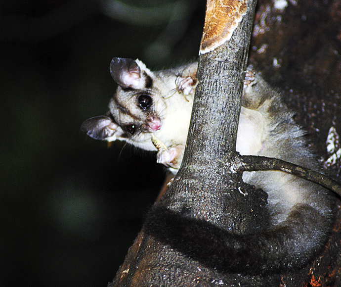
Most land-use changes that have occurred in the Port Stephens catchment relate to urban development and associated rural residence, especially on the southern shore of the estuary. Most of the catchment remains as bushland, a lot of which is managed in conservation areas or by Forestry Corporation.

Web cam

The Shoal Bay bar crossing web camera provides real-time video of conditions within the river entrance immediately offshore to help with bar crossings and boat safety.

National and marine parks

Community involvement