
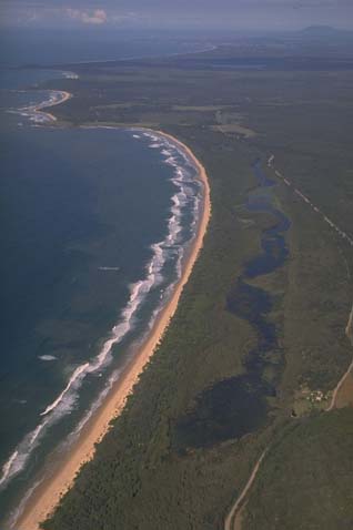
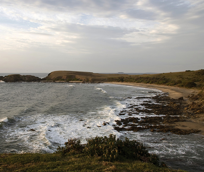
Goolawah Lagoon is located on the mid-north coast of New South Wales just south of Crescent Head. The estuary is classed as a back-dune lagoon. Goolawah is an Aboriginal word that means ‘yesterday’.
Goolawah Lagoon
Our water quality monitoring program has shown Goolawah Lagoon to have excellent water quality. Find out more about the estuary and its unique features.
Water quality
As part of our water quality monitoring program we assess the water quality and ecosystem health of an estuary using a range of relevant indicators. We sample a subset of the estuaries located between the Queensland border and Taree every 3 years. The most recent sampling in Goolawah Lagoon was completed over the 2018–19 summer when 2 sites were sampled on a monthly basis.
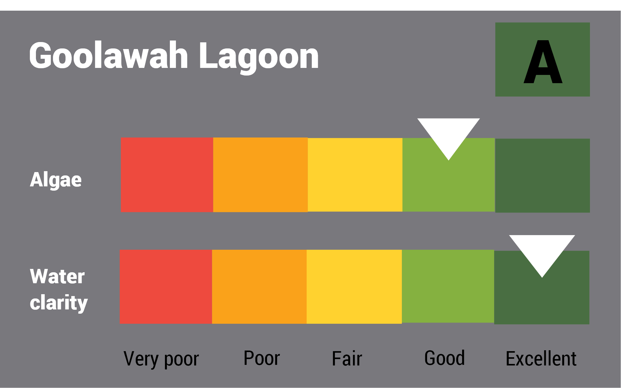
This report card represents 2 water quality indicators that we routinely measure: the amount of algae present and water clarity. Low levels of these 2 indicators equate with good water quality.
The report card shows the condition of the estuary was excellent with:
- algae abundance graded good (B)
- water clarity graded excellent (A)
- overall estuary health graded excellent (A).
Goolawah Lagoon estuary was last graded in 2009. Report cards for the last decade for this estuary will be made available in our data portal.
Find out more about our estuary report cards and what each grade means. Read our sampling, data analysis and reporting protocols and find out how we calculate these grades.
Physical characteristics
Estuary type: Back-dune lagoon
| Entrance location |
Latitude (ºS) | –31.21 |
|---|---|---|
| Longitude (ºE) | 152.97 | |
| Catchment area (km2) | 4 | |
| Estuary area (km2) | 0.1 | |
| Estuary volume (ML) | 51 | |
| Average depth (m) | 0.4 | |
Water depth and survey data
Bathymetric and coastal topography data for this estuary are available in our data portal.
Land use
The catchment of Goolawah Lagoon is relatively undisturbed and is partly protected within Goolawah National Park.
National and marine parks
- Goolawah National Park is the largest conservation area within the Goolawah Lagoon catchment.
- This estuary does not flow into a marine park.
Community involvement
- Macleay Landcare Network is a community based organisation that supports the local community in work to improve and protect the environment in the Macleay Valley catchment area.
- Crescent Head and Point Plomer Bush Care is a volunteer-run bush regeneration program that facilitates regular working bees.
Local government management
Local councils manage estuaries within their area unless the estuary is attached to a marine park. Goolawah Lagoon is managed by Kempsey Shire Council.
 The catchment for Goolawah Lagoon supports an important area of