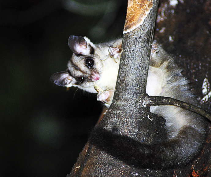
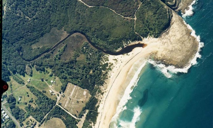
Middle Camp Creek is located at Catherine Hill Bay on the central coast of New South Wales. It is classed as a small back-dune lagoon.
Middle Camp Creek
Our water quality monitoring program has shown Middle Camp Creek to have good water quality. Find out more about the estuary and its unique features.
Water quality
As part of our water quality monitoring program we assess the water quality and ecosystem health of an estuary using a range of relevant indicators. We sample a subset of the estuaries located between Taree and Wollongong every 3 years. The most recent sampling in Middle Camp Creek was completed over the 2019–20 summer when 2 sites were sampled on a monthly basis.
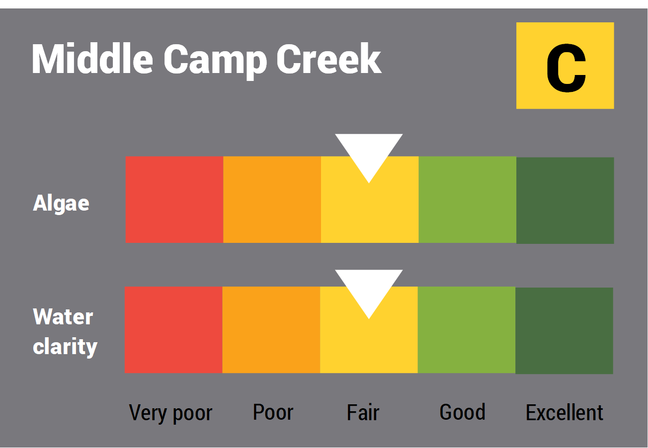
This report card represents 2 water quality indicators that we routinely measure: the amount of algae present and water clarity. Low levels of these 2 indicators equate with good water quality.
The report card shows the condition of the estuary was fair with:
- algae abundance graded fair (C)
- water clarity graded fair (C)
- overall estuary health graded fair (C).
Find out more about our estuary report cards and what each grade means. Read our sampling, data analysis and reporting protocols and find out how we calculate these grades.
We have monitored water quality in Middle Camp Creek since 2010. This table shows the water quality grades for this estuary over that time.
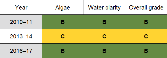
Grades for algae, water clarity and overall are represented as:
- A – excellent
- B – good
- C – fair
- D – poor
- E – very poor.
Physical characteristics
Estuary type: Back-dune lagoon
| Entrance location |
Latitude (ºS) | –33.15 |
|---|---|---|
| Longitude (ºE) | 151.64 | |
| Catchment area (km2) | 5 | |
| Estuary area (km2) | 0.01 | |
| Estuary volume (ML) | 2.3 | |
| Average depth (m) | 0.2 | |
Water depth and survey data
Bathymetric and coastal topography data for this estuary are available in our data portal.
Land use
About 85% of the Middle Camp Creek catchment is undisturbed forest. Some urban and rural residential development has changed land use in about 14% of the catchment and the Pacific Highway cuts through the upper catchment
National and marine parks
- Munmorah State Conservation Area encompasses most of this catchment.
- This estuary does not flow into a marine park.
Community involvement
-
Lake Macquarie Landcare provide support and links to dozens of local volunteer groups that do conservation work and care for the environment around Middle Camp Creek.
Local government management
Local councils manage estuaries within their area unless the estuary is attached to a marine park. Lake Macquarie Council manage this estuary.