Physical characteristics
Estuary type: Barrier river
Entrance
location |
Latitude (ºS) |
–34.63 |
| Longitude (ºE) |
150.86 |
| Catchment area (km2) |
117.3 |
| Estuary area (km2) |
1.9 |
| Estuary volume (ML) |
1516.5 |
| Average depth (m) |
1 |
Tidal prism
Tidal prism data is available for this estuary. This tidal prism was measured in 1992.
| Tide state |
Flow
(106 m3) |
Local tidal
range (m) |
Sydney Harbour
tidal range (m) |
| Ebb flow |
1.28 |
1.42 |
1.41 |
| Flood flow |
1.2 |
1.35 |
1.38 |
Notes: km2 = square kilometres; m = metres; m3 = cubic metres; ML = megalitres.
Water depth and survey data
Bathymetric and coastal topography data for this estuary are available in our data portal.
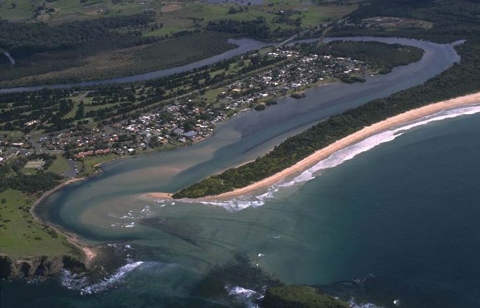
Land use
The Minnamurra River flows through a largely cleared catchment dominated by grazing and rural residential land use. Less than 10% of the catchment is urban and includes Jamberoo and Minnamurra. About 30% of the catchment is forested, which includes Budderoo National Park.