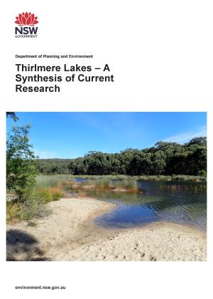
Thirlmere Lakes is a group of 5 waterways in the Greater Blue Mountains World Heritage Area:
- Lake Gandangarra
- Lake Werri Berri
- Lake Couridjah
- Lake Baraba
- Lake Nerrigorang.
The lakes are thought to be about 15 million years old. They are located at the intersection of Dharug, Tharawal and Gundungurra lands and are important for cultural practice and connection to country for Aboriginal custodians.
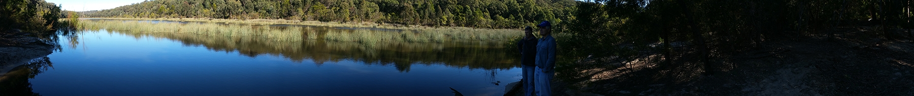
For many years, the local community near Picton has visited Thirlmere Lakes National Park for recreational activities such as swimming, kayaking, walking and, even at one stage, water skiing, and it holds a special significance as a place of happy holiday memories.
Water levels in Thirlmere Lakes have fluctuated over time. However, a decline in water levels over the last decade caused significant community concern. Some members of the community were concerned that the water loss could be the result of nearby mining activity.
History of investigations
In 2012, an inquiry was conducted in response to community concerns about the low water levels in Thirlmere Lakes and potential impacts from mining and groundwater extraction in the region. The NSW Government appointed 4 independent scientists and a community representative to evaluate possible causes for the low water levels in the lakes.
The inquiry identified knowledge gaps and recommended more research was needed to better understand how the lake system worked and what was causing or affecting water level changes, including surface water loss. The inquiry's findings were published in 2012 in the Thirlmere Lakes Inquiry: Final Report of the Independent Committee.
In 2013, the NSW Chief Scientist and Engineer also reviewed the findings and agreed that more research was needed. More information is available in the Chief Scientist and Engineer's review of the final report of the independent committee.
Later in 2013, a water monitoring system was installed at Thirlmere Lakes.
In 2016, a workshop was held discussing potential research methods that could be used to address the knowledge gaps identified by the inquiry. The content from this workshop was captured in the report The Mysterious Hydrology of Thirlmere Lakes.
In 2017, the Department of Climate Change, Energy, the Environment and Water committed $1.9 million over 4 years for a special investigation, the Thirlmere Lakes Research Program, to help understand the fluctuating water levels in the lakes.
Thirlmere Lakes Research Program
The 4-year Thirlmere Lakes Research Program began in 2017 and was led by the department.
Department scientists collaborated with research partners at the University of NSW (UNSW), University of Wollongong (UoW) and Australian Nuclear Science and Technology Organisation (ANSTO) to deliver the results of the program by 2021.
The research program provided a more detailed understanding of the dynamics of water sources and water flow paths in Thirlmere Lakes by investigating the system's geology, geomorphology, hydrogeology and hydrology.
As well as looking at the internal dynamics of the system, researchers investigated the sensitivity of these wetland systems to external influences, including looking for evidence of the potential effects of mining activity and groundwater extraction.
There were 5 major research themes of the program:
- geological mapping and geophysical surveys of the Thirlmere Lakes area (UNSW Lead Researcher Dr Martin Andersen)
- environmental isotope investigations into periodic and recent water losses from Thirlmere Lakes (ANSTO Lead Researcher Dr Dioni Cendón)
- geomorphology, sub-surface characteristics and long-term perspectives on filling and drying of Thirlmere Lakes (UoW Lead Researcher Dr Tim Cohen)
- surface water–groundwater interactions (UNSW Lead Researcher Dr Martin Andersen)
- developing an understanding of the flow of water into and out of the lakes (UNSW Lead Researcher Associate Professor Will Glamore).
Key findings from the research
The community was presented with the key findings from the Thirlmere Lakes Research Program at a community day held in June 2021. In 2022, Thirlmere Lakes – A Synthesis of Current Research was published, which is a report summarising the findings from all research projects and highlighting the results.
The Thirlmere Lakes Research Program provided the following key findings:
- Thirlmere lakes behave like set of leaky bathtubs, with water evaporating at the surface and leaking water into the ground beneath the lake sediments.
- The lakes are quite shallow, so even minor changes in water levels can lead to the significant exposure of lakebed sediments.
- Climate variability was the major driver of recent drying in Thirlmere Lakes and responsible for between 83% and 98% of water level fluctuations in recent times.
- It is likely that the lakes will continue to oscillate between being dry and maintaining higher water levels depending on drought and the frequency, intensity and duration of rainfall events.
- The drying of Thirlmere Lakes increased in the recent drought, which began in mid-2017, and, before that, the millennium drought (2001–2010), but investigations of sediment cores taken from the lakes also found that the lakes have dried before. There was a major drying period around 12,000 to 21,000 years ago. The last 120 years of historical records also indicate that the lakes have dried intermittently.
- Thirlmere Lakes are such dynamic systems that they are potentially vulnerable to future climate changes.
- During periods of no or low water, the peat underlying the lakes is extremely vulnerable to desiccation and fire.
- The research found no direct links between the drying of Thirlmere Lakes and the nearby coal mine but could not rule out a smaller (relative to climate) impact on water levels from mining.
- In the longer term, mining impacts on regional groundwater may affect lake water levels by reducing inflows to lakes and increasing the hydraulic gradient (water flow path) away from the lakes.
- Recently, the Thirlmere Lakes have potentially been at their highest levels for the last decade, following significant rainfall in June 2016, February 2020, March 2021 (see the Thirlmere Lakes Research Newsletter: Winter 2021) and March 2022.
- The depth of knowledge gained through the Thirlmere lakes Research Program makes Thirlmere Lakes one of the best studied systems in New South Wales. It will be an important area for future studies, as well as a wonderful outdoor laboratory to explore and enjoy.