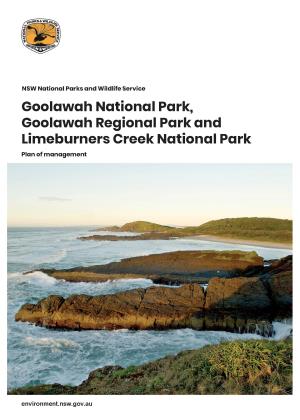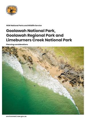
The reserves comprise hilly terrain breached by wide valleys with major streams. Tallawudjah Nature Reserve displays an undulating landscape featuring contrasting ridges, plateaus and gullies, and several prominent sandstone escarpments. The escarpments in this area have been likened to those of the Sydney area. Flaggy Creek Nature Reserve has a gentler sloping terrain, with a mostly north-east aspect.
Flaggy Creek and Tallawudjah Nature Reserves protect areas of mostly dry sclerophyll forest. Tallawudjah Nature Reserve contains extensive areas of high quality old growth forest, and conserves at least ten forest ecosystems and core habitat for several threatened fauna and flora species. It has been identified as a centre of endemism for vascular plants of the Kangaroo Creek Sandstone complex. Flaggy Creek Nature Reserve also occupies part of the Kangaroo Creek sandstone centre of endemism for vascular plants. A diversity of forest communities exist within this reserve, with heathlands occurring on sandy soils, wet sclerophyll forest along Flaggy Creek, and dry sclerophyll forest on drier slopes.