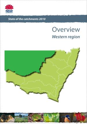
The Western region is the largest region in New South Wales, covering some 230,000 square kilometres. It includes the Barwon–Darling, Culgoa, Paroo, Warrego, Narran, Bokhara and Birrie river catchments. It takes in significant portions of the Bourke, Brewarrina, Central Darling, Cobar and Walgett shires and the Unincorporated Area in the far north-west corner of NSW.
Under the 2006 New South Wales Natural Resources Monitoring, Evaluation and Reporting Strategy, this state of the catchments report was prepared as part of what was a comprehensive data collection and analysis for natural resource assets in catchments across NSW – the 2010 State of the catchments reports. Data was collected and analysed using a common analytical framework, and the reports provide information on natural resource condition and trends within a consistent reporting framework.
Reporting was based on 13 natural resource themes, in accordance with the NSW state-wide natural resource management targets. These resource management targets were part of the green state priorities and targets in the NSW State Plan 2010.
Natural resource asset reports
These associated reports assess individual natural resource assets in the Western region, the pressures impacting on them and management actions undertaken to address these pressures:
- Native vegetation (PDF 1.4MB)
- Fauna (PDF 612KB)
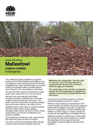
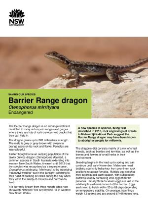
- Threatened species (PDF 649KB)
- Invasive species (PDF 785KB)
- Riverine ecosystems (PDF 1.8MB)
- Groundwater (PDF 1.1MB)
- Wetlands (PDF 489KB)
- Soil condition (PDF 1.4MB)
- Land management within capability (PDF 1.4MB)
- Economic sustainability and social well-being (PDF 687KB)
- Capacity to manage natural resources (PDF 568KB).