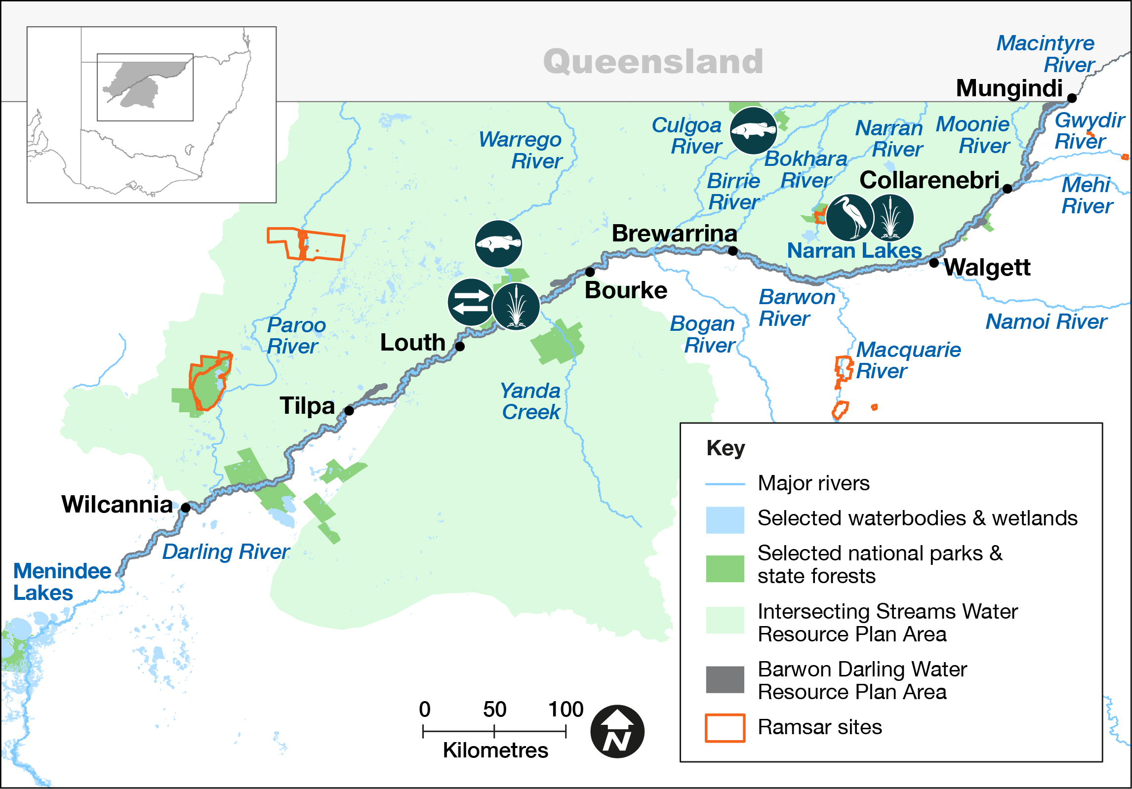
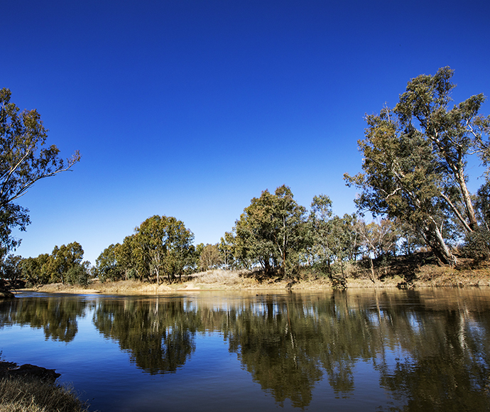
The Intersecting Streams cover an area of approximately 120,431 square kilometres. This area comprises the NSW sections of 4 key river systems: the Paroo, Warrego, Culgoa–Birrie–Bokhara–Narran connected system and Moonie River that originate in Queensland and terminate in New South Wales.
There are 3 listed Ramsar sites and areas indicated in the Directory of Important Wetlands located in the Paroo, Warrego and Narran water sources and an Important Bird Area (IBA) identified by BirdLife Australia.
Traditional Owner groups in the Intersecting Streams area include Budjiti, Euahlayi, Guwamu/Kooma, Kamilaroi, Kunja, Murrawarri and Ngemba.
Water for rivers and wetlands
The Intersecting Streams rely on rainfall in southern Queensland and connection across the NSW–Queensland border to generate the flows that support rivers and wetlands in this area.
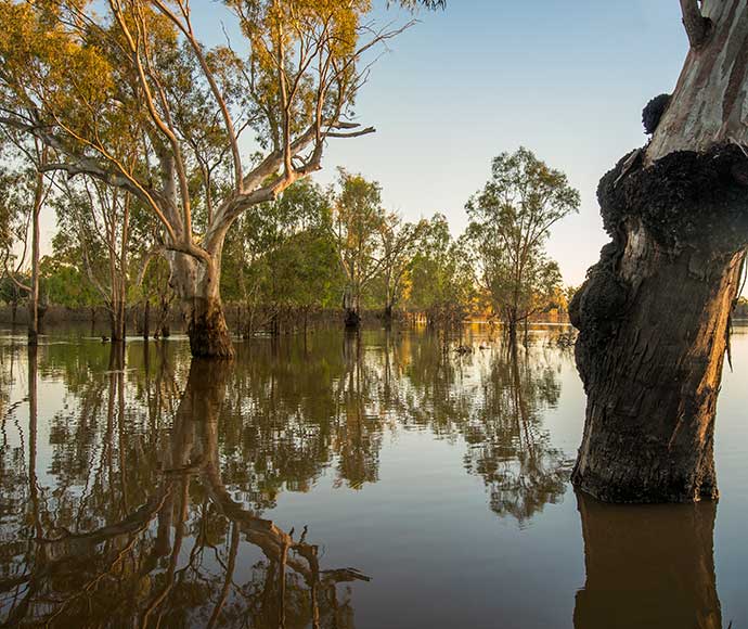
The region saw average to slightly above average rainfall in mid-2021. This was followed by above to well above average rainfall from late 2021 to early 2022. This rainfall created periods of high flow across the Intersecting Streams, with notable flows up to 8229 ML per day in the Paroo (at Willara gauge), 8014 ML per day in the Culgoa (at Collerina gauge) and 3079 ML per day in the Narran (at Narran Park). This rainfall generated significant flow to Narran Lakes and the Paroo and Bulloo river wetlands.
With drought in the northern basin having eased, critical environmental demands have reduced, particularly in relation to connectivity. In 2022–23, the focus of water managers will shift to recovery and maintaining current catchment conditions where possible.
Weather and water forecast
The El Niño–Southern Oscillation (ENSO) outlook remains at La Nina, with a return to neutral ENSO during winter. Rainfall was below average and temperatures warmer than average in May and June 2022 for eastern mainland Australia, including the Intersecting Streams catchment, and this will continue in July.
Water availability is predicted to be higher than average. Commonwealth unregulated licenses are likely to be triggered with potential for protection of flows in the Warrego, Culgoa and Narran. Flows may be directed to the Western Floodplain at Toorale with the recently modified regulator at Boera allowing for more effective management of flows.
Water managers have prepared annual watering plans that consider a range of weather and water availability scenarios. This is known as resource availability scenario planning. There remains a significant degree of uncertainty around resource availability. On balance, the outlook is rated as ‘wet to very wet’.
1. ENSO: The interaction between the sea surface and atmosphere over the Pacific Ocean which results in dryer or wetter conditions (El Nino or La Nina).
Resource availability scenario
 |
Very dry Main aim: Protect Avoid critical loss |
 |
Dry Main aim: Maintain Maintain river functioning |
 |
Moderate Main aim: Recover Improve ecological health and resilience |
 |
Wet to very wet Main aim: Enhance Restore key floodplain and wetland linkages |
Key planned actions for 2022–23
Waterbirds
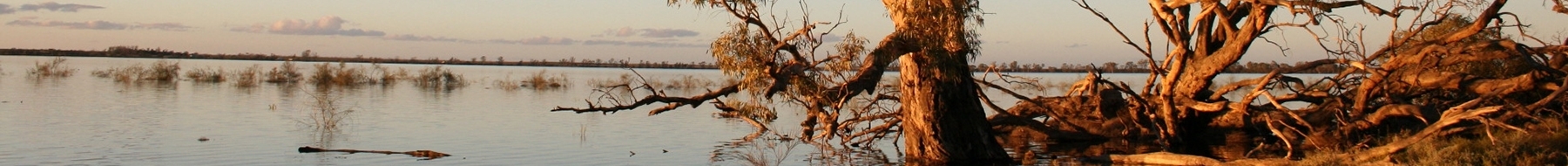
In 2022–23, water is likely to be retained in Narran Lake as a result of inflows which commenced in late 2021. A priority is to ensure adequate vegetation condition and water level should further inflows trigger another colonial waterbird breeding event in spring 2022.
Native fish
A key priority for water managers is to support stocks of native fish and provide opportunities for them to breed and disperse into secure habitats.
Vegetation
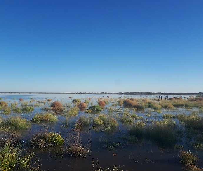
The water that reached the Narran Lakes in late 2021 and early 2022 is expected to have further improved vegetation condition in the lakes system following flows that replenished the lakes in early 2021. Water managers will prioritise opportunities that arise in 2022–23 to increase the duration of inundation of water- dependent vegetation.
In mid-2021, flows in the Warrego River inundated vegetation communities on the Toorale Western Floodplain wetland, and they were further inundated in late 2021 and early 2022. Repeated inundation in 2022–23 will increase vigour and diversity of wetland vegetation in this location.
Connectivity
As these systems are typically intermittent, further flows and inter-system connections depend on rainfall occurring throughout the year.
Figure 1 Map of proposed annual priority targets in the Intersecting Streams Resource Plan area 2022–23.