Overview

The coastal, alpine, tableland and slopes landscapes of the south-eastern corner of NSW nurtures unique biodiversity hotspots and also contains NSW's largest national park, Kosciuszko.
South East and Tablelands region map

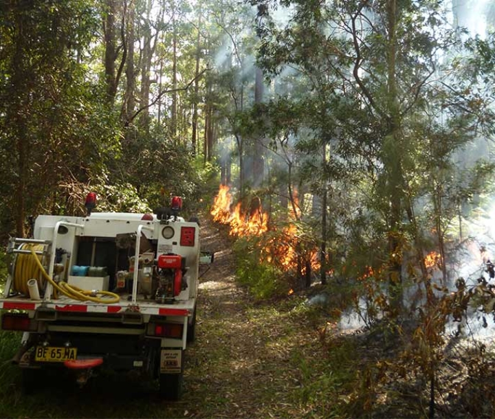
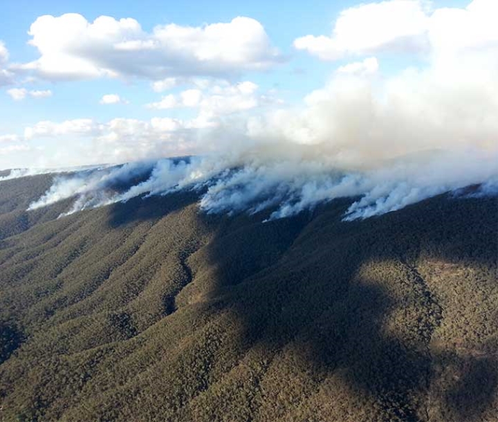
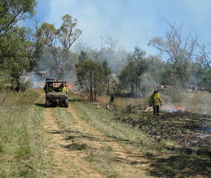
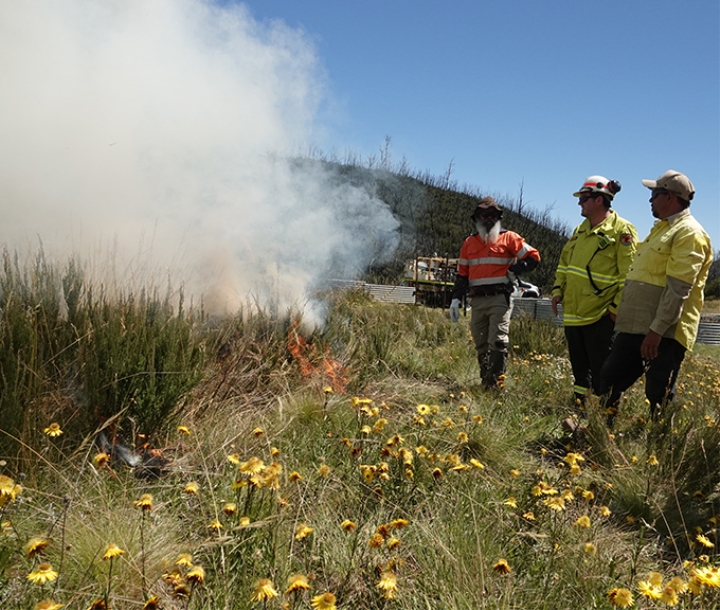
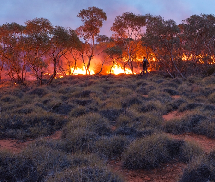
Featured threatened species
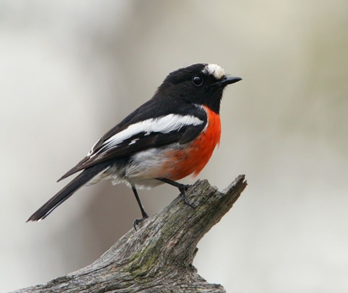
Common name
Scarlet Robin

Scientific name
Petroica boodang

Status in NSW
Vulnerable

Commonwealth status
Not listed

The Scarlet Robin is a small Australian robin that reaches 13 cm in length. The male has a black head and upperparts, with a conspicuous white forehead patch, white wing stripes and white tail-edges. The male has a bright scarlet-red chest and a white belly. The female is pale brown, darker above, and has a dull reddish breast and whitish throat. The whitish mark on the female’s forehead is smaller than the male’s.

Climate change

Mean temperatures are projected to rise by 2 ºC by 2070. The greatest increases are seen in the north and west of the region during summer and spring. All models show there are no declines in mean temperatures across the South East and Tablelands.


Water for the environment

Children playing by the Murray River

98,300km2

Murray and Lower Darling valleys area

The management of environmental water in the Murray and Lower Darling valleys is critical to the ongoing health of a diverse range of ecological communities which include the world’s largest stand of River Red Gum and a 1700km stretch of Australia’s longest river.

Murray and Lower Darling valleys profile

Tala Lake, Murrumbidgee

81,527km2

Murrumbidgee valley area

In the Murrumbidgee valley, environmental flows support a range of wetland communities, providing habitat and breeding opportunities for flora and fauna as well as refuge during times of natural flow variation.

Murrumbidgee profile