Some threatened species are very sensitive to disturbance and exploitation. Information about the location of these species is considered ‘sensitive’ and the Department of Climate Change, Energy, the Environment and Water (DCCEE) will not provide it to third parties, with some limited exceptions. Precise locational information about sensitive species is exempt from freedom of information requests.
BioNet Atlas of NSW Wildlife data
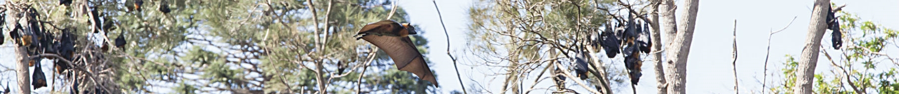
DCCEEW – Environment, Energy and Science maintains the BioNet Atlas of NSW Wildlife (the Atlas), a database of recorded sightings of flora and fauna species in the state. The Atlas contains records of plants, mammals, birds, reptiles, amphibians and some fish, fauna and invertebrates.
Some information about species sightings is publicly available from the Atlas. Atlas data should only ever be viewed as an indication of which species might be present in an area, and will not provide clients with the full distributions of species. For environmental assessment purposes, Atlas data alone is not an adequate surrogate for thorough field surveys.
Locational data that can be released is usually supplied under the conditions of a written data licence agreement. Before being granted a data licence, clients must provide DCCEEW with details of the proposed project/work need for Atlas data. Licensed clients typically include environmental consultants, state and local government agencies, researchers and other parties who can establish a bona fide need for Atlas information.
Categorising sensitive data
The Sensitive Species Data Policy sets out how sensitive species will be categorised, and the levels of disclosure allowed.
Category 1: Species of high biological significance, for which no records will be provided at all. The reason for non-disclosure is that the species is highly threatened by exploitation/disease or other identifiable threats, and even general locality information may threaten the taxon. The famed Wollemi pine falls into this category.
Category 2: Species considered to be at serious risk from threats such as disturbance or exploitation. For species in this category, geographic coordinates of sightings will be supplied 'denatured', in order to generalise the locality. Exceptions to this rule may be granted to some government agencies, or for certain research purposes.
Category 3: Species considered to be at medium to high risk of threats such as disturbance or exploitation. For species in this category, coordinates will be supplied at 'as held' accuracy to licensed clients, but will otherwise be supplied ‘denatured’. The term ‘as-held’ refers to coordinate details as supplied to us for entry into the Atlas database. As-held records do not necessarily equate to exact locational details, and must be interpreted with reference to their geographic accuracy. Some records, for example, are only accurate to 1 kilometre.
To further protect the locations of sensitive flora and fauna, we ask that all clients to consider not publishing their own precise geographical coordinates for these at-risk species.
Documents to download
For more detailed information download the policy and appendices, including the list of the species in each of the three categories. Please note the first link only includes the body of the policy.
- Sensitive species data policy
- Appendix 1 – Sensitive Species list
- Appendix 2 – Denaturing specifications for sensitive species records (PDF 33KB)
- Appendix 3 – List of agencies and organisations whose data is distributed via the Atlas of NSW Wildlife (PDF 18KB)
More information
For questions about the supply of data from the BioNet Atlas of NSW Wildlife, e-mail the BioNet Atlas Team.
For questions listings of particular species, contact the Biodiversity Conservation Manager in your area.