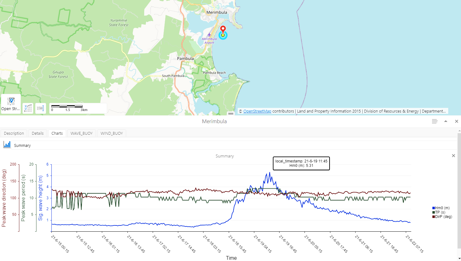
We measure and model waves as they travel from deep ocean waters to the coast.
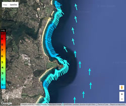
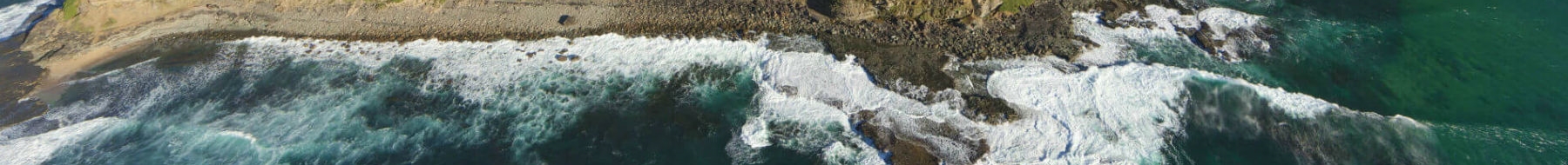
The shape of the seabed influences waves as they approach the coast. Wave conditions at one beach may be very different from the next, even at the same time.
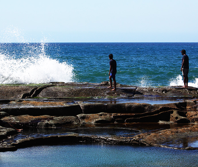
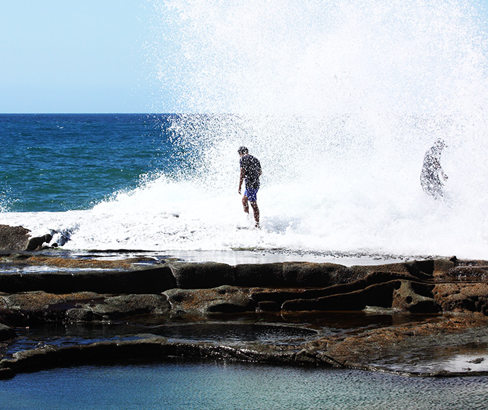
Waves move sand along the coast where it is continuously recycled between the surf zone and the beach–dune system. High waves and raised water levels, or storm surges, can erode sand from beaches and expose dunes and coastal structures to wave impact.
Calmer waves move sand back onshore and replenish beaches, which can take several months to years.