Physical characteristics
Estuary type: Lake
Entrance
location |
Latitude (ºS) |
–34.54 |
| Longitude (ºE) |
150.88 |
| Catchment area (km2) |
238.4 |
| Estuary area (km2) |
35.8 |
| Estuary volume (ML) |
74,275.1 |
| Average depth (m) |
2.1 |
Tidal prism
Tidal prism data is available for this estuary. This tidal prism was measured in 2008.
| Tide state |
Flow
(106 m3) |
Local tidal
range (m) |
Sydney Harbour
tidal range (m) |
| Ebb flow |
2.14 |
0.66 |
1.32 |
| Flood flow |
2.7 |
0.63 |
1.32 |
Notes: km2 = square kilometres; m = metres; m3 = cubic metres; ML = megalitres.
Water depth and survey data
Bathymetric and coastal topography data for this estuary are available in our data portal.
Land use
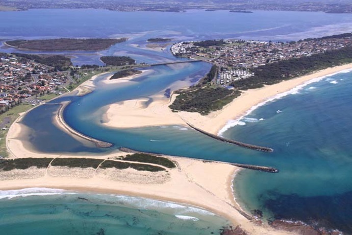
Lake Illawarra estuary is surrounded by urban areas, particularly along the north- and south-eastern shorelines. This includes the townships of Berkeley, Lake Heights, Kanahooka, Oak Flats and Mount Warrigal. Urban areas currently comprise 20% of the catchment. This is likely to increase with extensive urban development planned for the western side of Lake Illawarra.
Grazing is the dominant land use in the catchment at 35%. Large areas of forest (25%) remain along the escarpment at the western boundary making up about 25% of the catchment.