 Water that is allocated and managed specifically to improve the health of rivers, wetlands and floodplains is known as water for the environment.
NSW environmental water management teams work with local community advisory groups including landholders, Aboriginal stakeholders, partner agencies and other interested community members to develop detailed annual plans for the use of water for the environment in each catchment, including how its use is prioritised.
The catchment
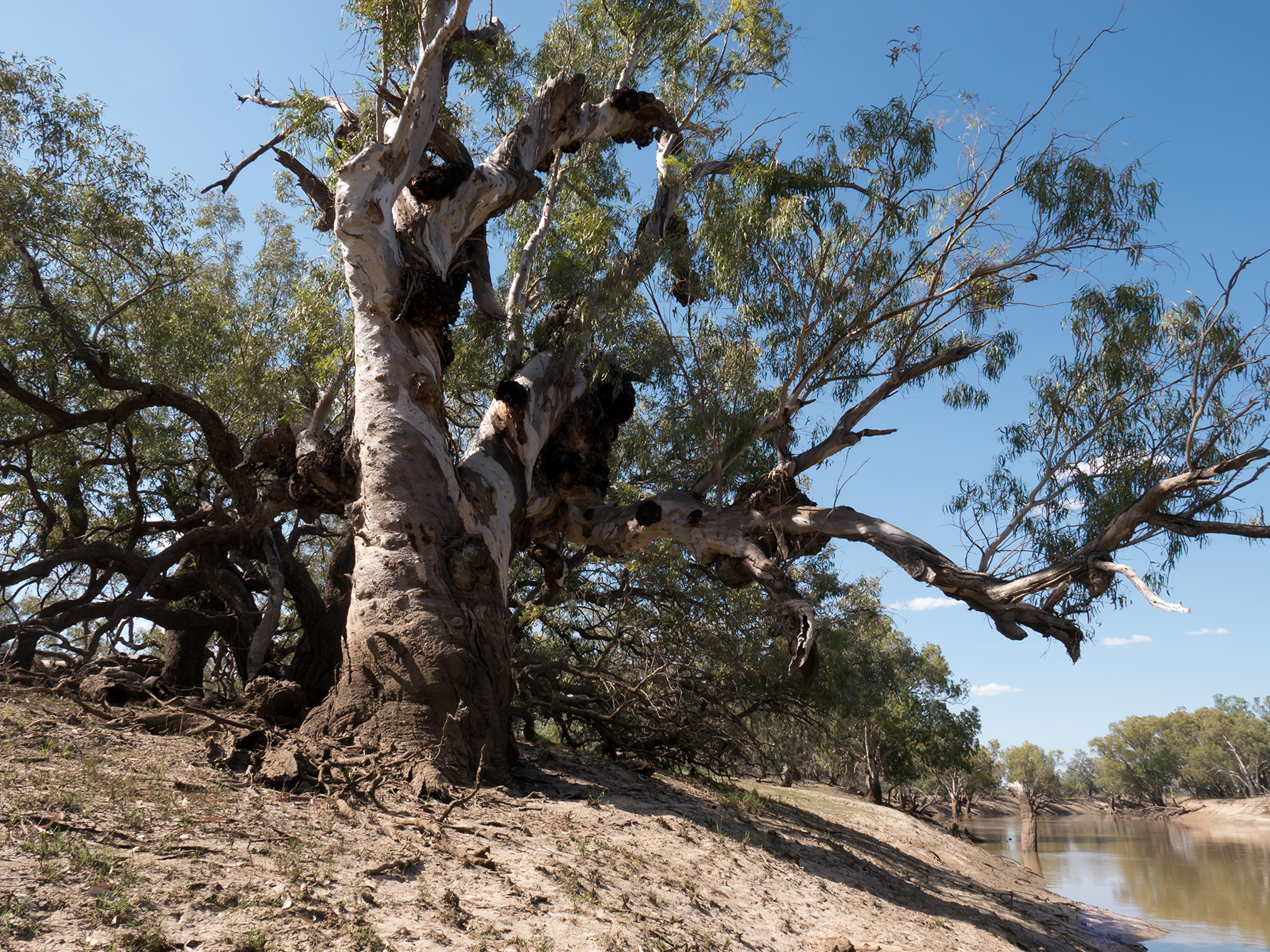
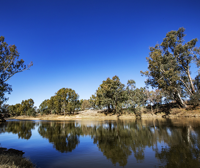
The Murrumbidgee catchment covers 81,527 square kilometres and includes 26 storage or diversion structures, 1,690 kilometres of the river, and the surrounding wetlands. The climate conditions range from alpine in the Snowy Mountains to semi-arid on the Riverina plains.
Wetlands throughout the Murrumbidgee support threatened species listed under the Commonwealth Environment Protection and Biodiversity Conservation Act 1999 and NSW Biodiversity Conservation Act 2016.
The Murrumbidgee catchment is Country to the Barapa Barapa, Mutthi Mutthi, Nari Nari, Ngarigo, Ngunnawal, Wadi Wadi, Wolgalu, Wamba Wamba, Weki Weki and Wiradjuri Aboriginal people.
Water for rivers and wetlands
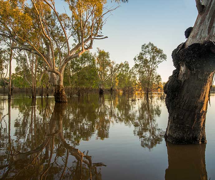
During 2022–23, the Department of Climate Change, Energy, the Environment and Water (the department) capitalised on very wet conditions across the catchment to deliver water for the environment to sites including the Gayini Wetlands and instream Murrumbidgee River.
Water was used to benefit wetland habitats in the Murrumbidgee and Coleambally irrigation areas as well as the Western Lakes, Forest Creek and Wanganella Swamp.
In 2023–24, managed watering events will initially focus on maintaining permanent water habitat for southern bell frogs, native fish, waterbirds and other aquatic species.
Water managers plan to supplement existing system flows to provide the maximum benefit to plants and animals. Watering events will aim to restore a more natural flow pattern to support a robust food web and other system functions.
Aboriginal water management priorities
Environmental water managers have been working to support Aboriginal people’s priorities in water management.
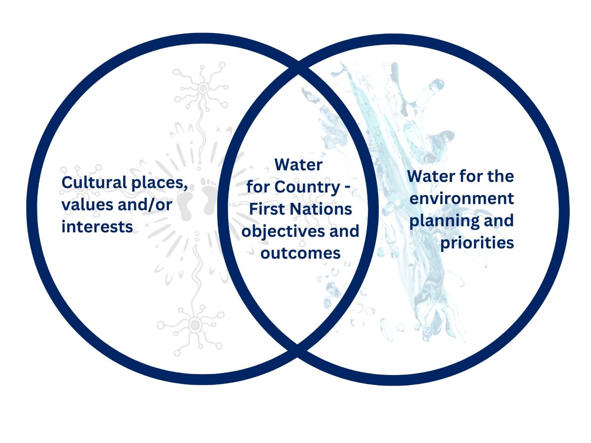
Water for Country is environmental water use planned by the department and Aboriginal people to achieve shared benefits for the environment and cultural places, values and/ or interests.
The department is partnering with the Nari Nari Aboriginal people to deliver dual environmental and cultural outcomes with water for the environment in the Gayini and Toogimbie wetlands system.
In 2023–24, we will continue to plan, in partnership with Mutthi Mutthi Aboriginal people, to enhance healthy Country outcomes, with a view to achieving longer term wetland and water management goals.
The department will be supporting the development of land and water management outcomes with Wiradjuri Aboriginal people, with a view to longer term co-management of numerous mid-Murrumbidgee environmental water assets.
Weather and water forecast
As at early June the El Niño–Southern Oscillation (ENSO1) outlook is neutral, with an El Niño watch. This will result in well below median rainfall for May to July 2023 for eastern mainland Australia, as forecast in the Bureau of Meteorology outlook issued in March 2023. The chance of exceeding median rainfall was stated as 20%.
Indicative starting allocations are 95% allocations for high security and 30% allocations for general security licences. Water management plans reflect these wetter conditions and are mindful of the favourable starting allocations and high carryover.
Water managers have prepared watering plans that consider a range of weather and water availability scenarios in case it rains more or less than expected. This is known as resource availability scenario planning. Moderate to wet conditions are forecast for the Murrumbidgee catchment in 2023–24.
1. ENSO: The interaction between the sea surface and atmosphere over the Pacific Ocean which results in dryer (El Nino) or wetter (La Nina) conditions.
Resource availability scenario
 |
Very dry Main aim: Protect Avoid critical loss |
 |
Dry Main aim: Maintain Maintain river functioning |
 |
Moderate Main aim: Recover Improve ecological health and resilience |
 |
Wet to very wet Main aim: Enhance Restore key floodplain and wetland linkages |
Key planned actions for 2023–24
Waterbirds |
Water managers have planned flows up to 200 gigalitres (GL) to provide foraging and breeding habitat for waterbirds, turtles, frogs and other aquatic species in areas including Gayini, Western Lakes and the North Redbank wetlands. Flows will water key Australasian bittern habitats in the Murrumbidgee and Coleambally irrigation areas.
Native fish |
Water management plans allow for flows up to 200 GL to maintain instream and deep water off-stream habitats for native fish and to restore a more natural flow pattern to support native fish populations.
Water managers have planned trout cod and Murray cod nesting flows for the upper Yanco and mid-lower Murrumbidgee River systems. They may also undertake dispersal flows to allow young native fish and larvae to enter low lying floodplain habitat areas. Contingency water will be set aside to mitigate the risk of low flows heat wave/hypoxia in the lower Murrumbidgee weirs.
Vegetation |
Water managers will provide up to 10 GL of water for the environment via pumping to key mid-Murrumbidgee and Yanco/Forest Creek sites currently out of reach of river flows, e.g. Willbriggie, Yarradda, Gooragool and Sunshower lagoons in the mid-Murrumbidgee, as well as Waldaira and Mainie swamps in the Junction Wetland system west of Balranald.
Connectivity |
Water managers have planned flows to southern Yanga National Park via the Gayini wetland system and then south via Tala Lake (assuming reasonable starting allocations).
Map of proposed annual priority targets in the water resource plan area 2023–24