Guide to the Native Vegetation Regulatory map
This guide provides information about the Native Vegetation Regulatory map and how to access the map and map support services.
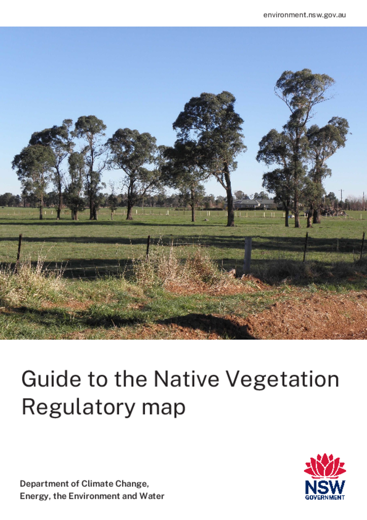
Publisher: Department of Climate Change, Energy, the Environment and Water
Cost: Free
Language: English
ISBN: 978-1-76186-231-1 / ID: EH20260348
File: PDF 1.97 MB / Pages 36
Name: native-vegetation-regulatory-map-guide-260348_0.pdf
This guide explains how to use the Native Vegetation Regulatory map to understand land categories and native vegetation clearing rules in New South Wales. It covers how to access the map online through the Check My Land app and the desktop map viewer.
The main land categories are Category 1 – exempt land, Category 2 – regulated land, vulnerable regulated land, sensitive regulated land and excluded land.
It explains how landholders can request category reports or ask for map refinements for their property.
The guide also outlines how the map was built, how it is updated and what land management activities do not change map categories.
First published August 2026; reprinted September 2026 with corrections.