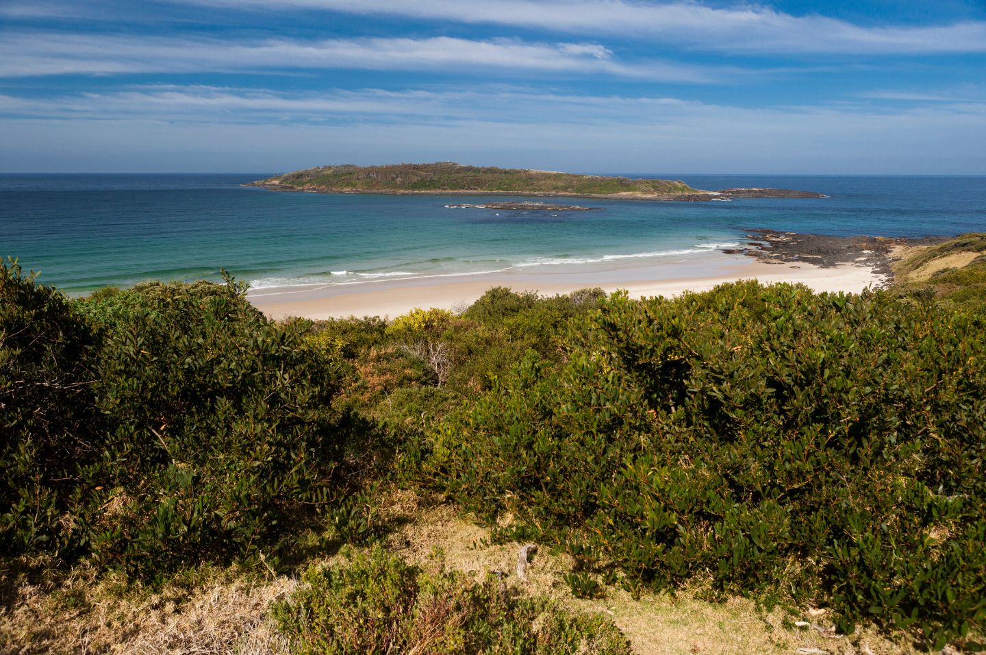
Murramarang Aboriginal Area Plan of Management
The Aboriginal area protects the largest complex of middens on the south coast and is one of only three archaeological sites on the south coast dated to the Pleistocene (Ice Age) period. It contains a dense concentration of stone artefacts and shell, mammal, fish and bird bones. The variety of tool types including rare bone tools illustrate a long history of occupation.
The Aboriginal area has very high research and educational value. It is the most studied Aboriginal site in Australia and one of only a few large, interpreted sites.
The area was a meeting place for a number of Aboriginal tribes until after settlement of the country by Europeans and is part of a cultural landscape linked to other places along the south coast. Burials took place on the headland and the area is said to have been the site of a massacre during the late nineteenth century. The Aboriginal area has very high traditional and contemporary cultural significance to Aboriginal people and will be managed in accordance with the wishes of the Aboriginal community to protect this significance.
