Warrumbungle National Park Plan of Management
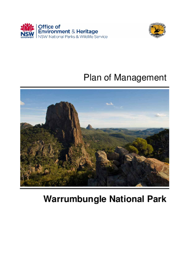
Warrumbungle National Park was placed on the National Heritage List in 2006 in recognition of its geological and biological values. It contains a spectacular landscape shaped by an ancient volcano which has eroded over millions of years. Over 520 species of native plants and 311 species of native animals have been recorded in the park and it provides a refuge for the endangered brush-tailed rock-wallaby.
Warrumbungle National Park contains heritage items of local and regional significance, including the Tara Woolshed, Strathmore Homestead, and walking tracks dating from the 1950s. It also contains a range of Aboriginal sites, including rock shelters and sites of cultural significance to the Gamilaraay and Weilwan Aboriginal people.
Warrumbungle National Park was declared Australia's first Dark Sky Park in 2016.