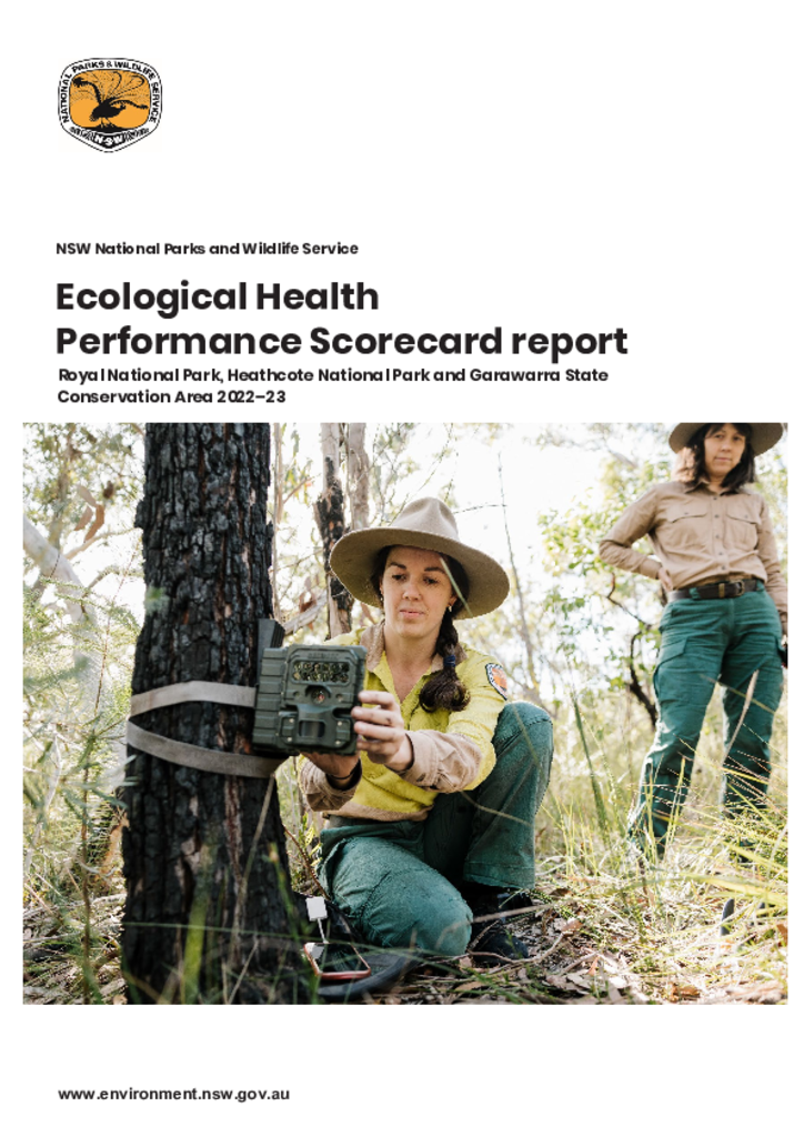
This first Scorecard report organises, analyses and summarises ecological data collected through on-ground surveys, existing spatial data, threat management efforts, and patterns of fire in time and space to help us better understand changes in the health of the area.
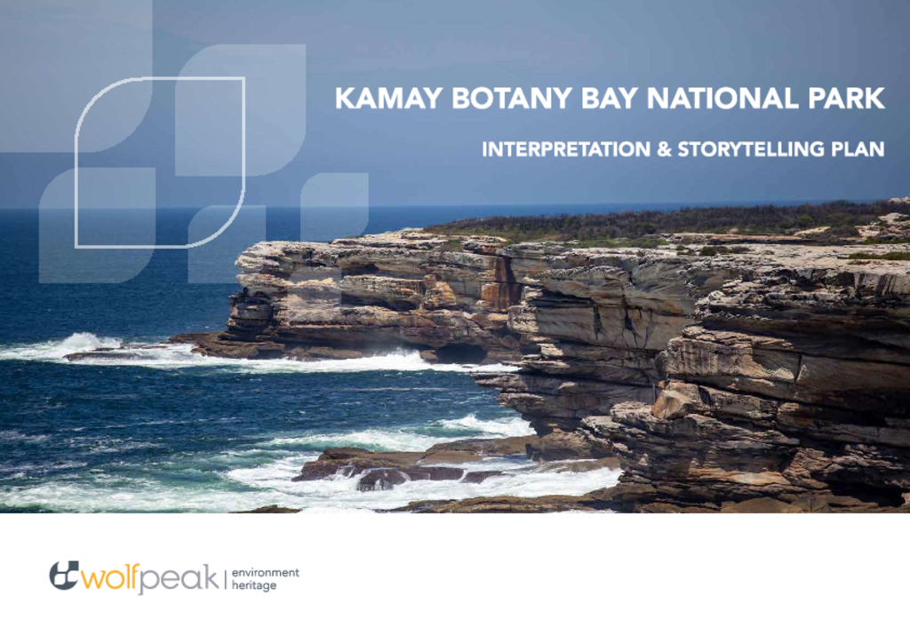
The Kamay Botany Bay Interpretation and Storytelling Plan defines how NSW National Parks and Wildlife Service will connect with existing and new audiences through the delivery of engaging narrative experiences, digital tools, and enhanced interpretive signage.
The Kowmung River has been assessed and declared to be a wild river in good overall health despite some disturbances to the surrounding landscape and waterways.
A fresh look at the 2008 master plan for the Meeting Place in the Kurnell Precinct of Kamay Botany Bay National Park and the opportunities it offers to present this nationally significant place as one that respects, and interprets, the many layers of history evident.
Community consultation reportKamay Botany Bay National Park
The Greater Blue Mountains World Heritage Area Strategic Plan provides broad principles for the integrated management, protection, interpretation and monitoring of the parks and reserves that make up this World Heritage area.
This revised review of environmental factors proposes the adaptive reuse of 6 existing buildings within the Gap Bluff Precinct and South Head, Camp Cove and Green Point Precinct, located in Sydney Harbour National Park.
Review of environmental factorsSydney Harbour National Park
The Colo River and its 4 subcatchments, which largely fall within the Blue Mountains and Wollemi National Parks, have been assessed and found to meet the criteria for wild rivers.