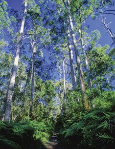
Dalrymple-Hay Nature Reserve covers 10 hectares of remnant bushland in the suburb of St Ives in north-eastern Sydney. The nature reserve was established in 1972 over what was previously Dalrymple-Hay Demonstration State Forest. The State Forest was named after Richard Dalrymple-Hay, the first Commissioner of Forests in NSW, who proposed the acquisition of the land for a demonstration forest in the 1920s.
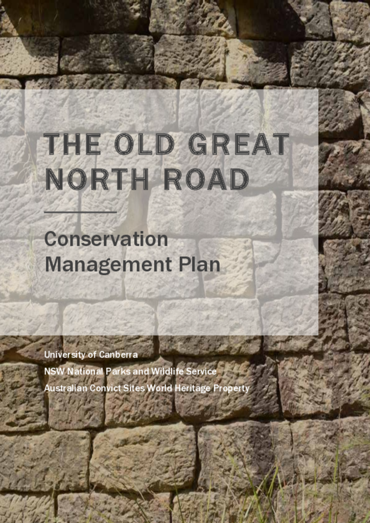
The Great North Road was built using convict labour between 1826 and 1836, spanning the 264-kilometre distance between Sydney and the Hunter Valley. The Old Great North Road is a 43-kilometre stretch of this road that retains some of the best examples of our convict heritage.
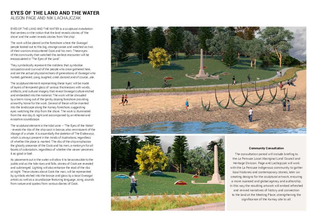
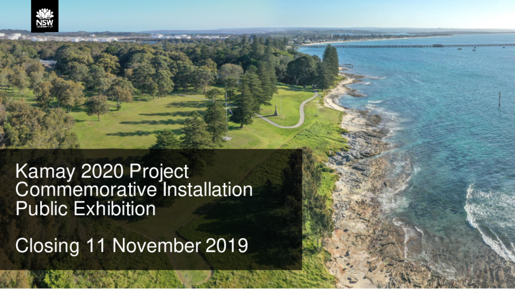
This design document is titled 'Eyes of the land and water', a proposed sculptural installation for Kamay Botany Bay National Park, which centres on the notion that the land reveals stories of ‘the shore’ and the water reveals stories from ‘the ship’.
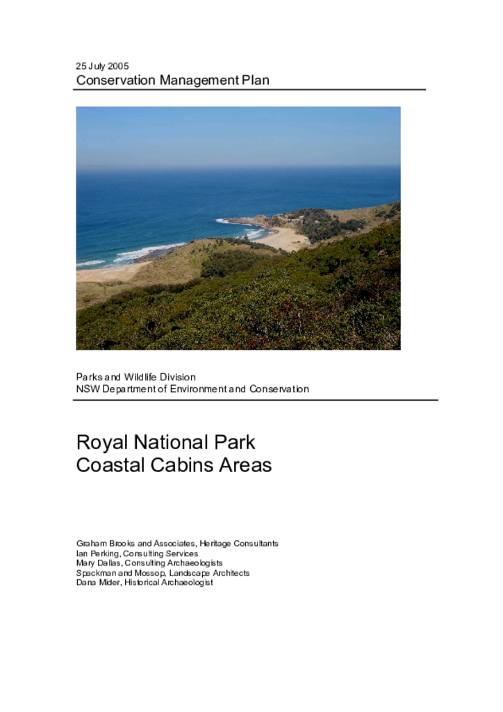
Royal National Park was established in 1879 and has been managed by the NSW National Parks and Wildlife Service (NPWS) since 1967. There are around 200 cabins in Royal National Park located at South Era, Burning Palms, Little Garie and Bulgo. The cabins are generally simple structures built in the absence of planning controls, major infrastructure and services. They are currently occupied (for short-term recreational use) under licence agreements.
This concept document shows 4 proposed sculptural installations for Kamay Botany Bay National Park, which are designed to represent the view from the ship and the view from shore when 2 diverse cultures met for the first time.
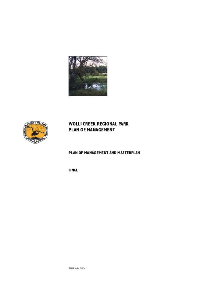
Wolli Creek Regional Park is a linear corridor of bushland and open space of approximately 60 hectares along Wolli Creek in the Canterbury local government area.
Kamay Botany Bay National Park is a magnificent headland site that bounds the mouth of Botany Bay, Sydney. The Kurnell Precinct of Kamay Botany Bay National Park is located on the southern headland of Botany Bay.