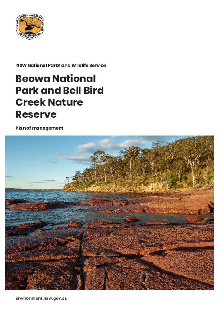
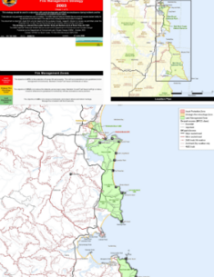
Beowa National Park and Bell Bird Creek Nature Reserve are located on the far south coast of New South Wales. The national park has an area of 10,485 hectares and is comprised of 3 sections: large areas north and south of Eden and a much smaller area north of the Pambula River. The nature reserve lies adjacent to the central section of the park and covers 53 hectares.
The proposal involves track realignment, reinstatement of tracks damaged by bushfire, creation of hut accommodation, formalisation of camping areas, upgrade works to precinct parking and small vehicle access trails, and some additional works.
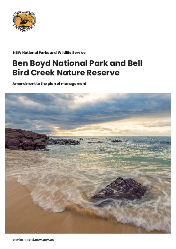
NSW National Parks and Wildlife Service has adopted an amendment to the plan of management for Beowa (formally known as Ben Boyd) National Park and Bell Bird Creek Nature Reserve.
This document is the pest management strategy for the Far South Coast Region and covers the southeast forest areas of NSW stretching between Batemans Bay in the north, and the Victorian border in the south. The region extends inland to include the southern escarpment and parts of the Southern Tablelands including the major towns of Bombala and Braidwood.
The Light to Light Walk is located in the Beowa National Park near Eden, on the far south coast of New South Wales. The Walk provides a 30-kilometre track from Boyds Tower to Green Cape Lighthouse.