This document is the pest management strategy for the Northern Tablelands Region, which stretches from the NSW–Queensland border in the north, to below Walcha and Tamworth in the south and from around Warialda/Gunnedah in the west to half way down the escarpment in the east.
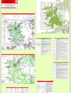
Oxley Wild Rivers National Park, Oxley Wild Rivers State Conservation Area, Cunnawarra National Park and Georges Creek Nature Reserve are located on the eastern edge of the Northern Tablelands of NSW, 350 kilometres north of Sydney and 15 kilometres south-east of Armidale. Kempsey, Port Macquarie and Tamworth are all within 140 kilometres.
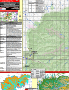
This fire management strategy incorporates Oxley Wild Rivers, Carrai and Cunnawarra (west) National Parks, Georges Creek Nature Reserve and Oxley Wild Rivers and Carrai State Conservation Areas.