This document is the pest management strategy for the Metro North East Region which covers the part of Sydney that lies between Botany Bay in the north and Wolli Creek in the south, Broken Bay in the north-east, and Wisemans Ferry in the north-west.
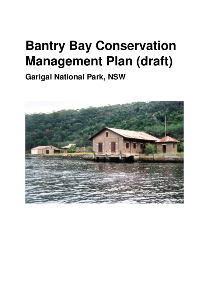
The Bantry Bay Explosives Magazine complex occupies an area of 14 hectares on the foreshores of Bantry Bay. Bantry Bay is located within Middle Harbour, and the foreshores of the bay form part of Garigal National Park.
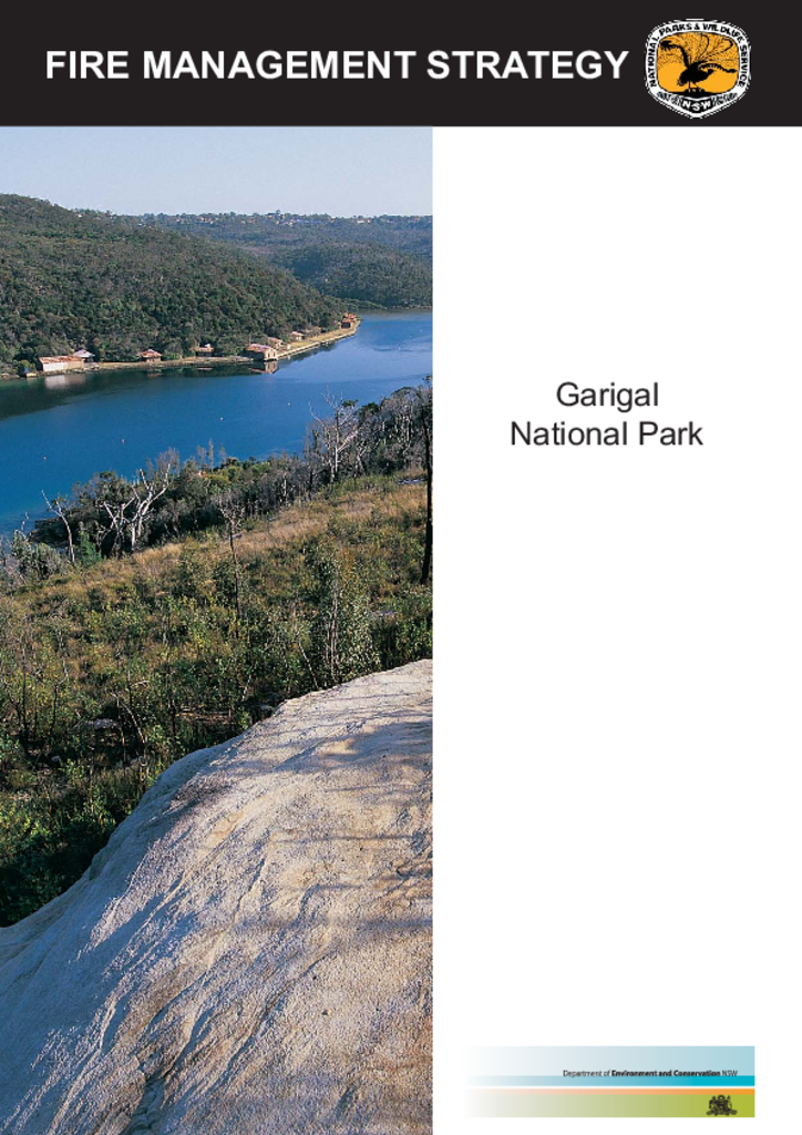
Garigal National Park covers over 2,000 hectares of bushland in northern Sydney. It comprises the valley of Middle Harbour Creek and its tributaries, the slopes along the northern side of Middle Harbour as far as Bantry Bay and part of the catchment of Narrabeen Lakes.