This review of environmental factors covers the proposed construction and installation of a new Telstra communications facility at Grays Point in Royal National Park.
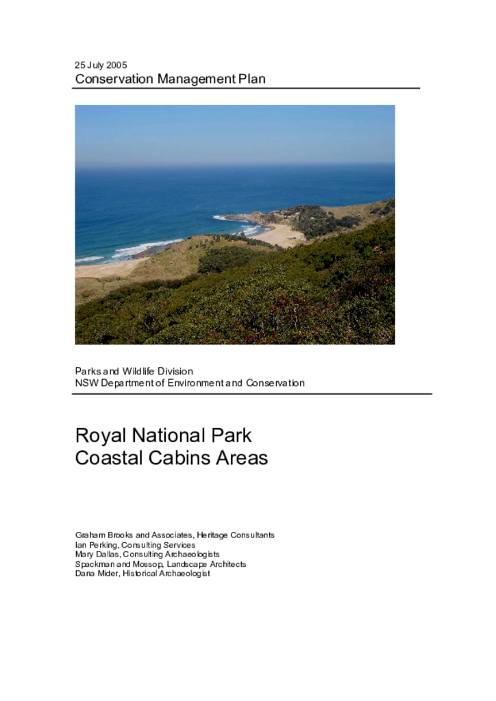
Royal National Park was established in 1879 and has been managed by the NSW National Parks and Wildlife Service (NPWS) since 1967. There are around 200 cabins in Royal National Park located at South Era, Burning Palms, Little Garie and Bulgo. The cabins are generally simple structures built in the absence of planning controls, major infrastructure and services. They are currently occupied (for short-term recreational use) under licence agreements.
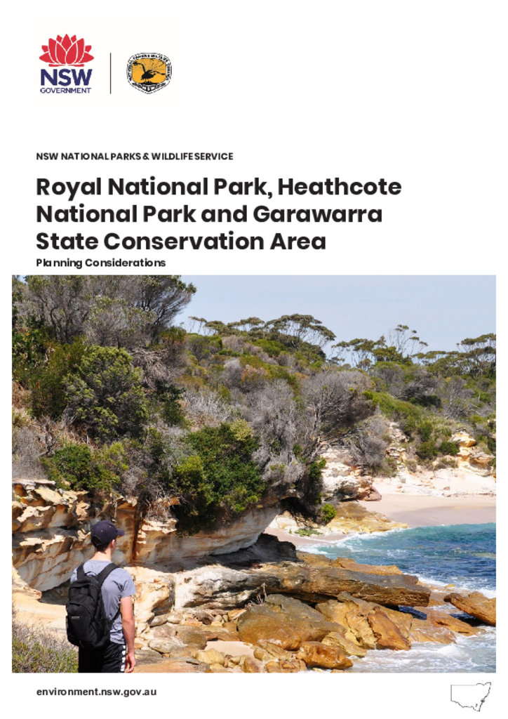
Royal National Park, Heathcote National Park and Garawarra State Conservation Area are located on the north-eastern edge of the Woronora Plateau in the southern part of the Sydney Basin Bioregion. The parks cover approximately 18,912 hectares.
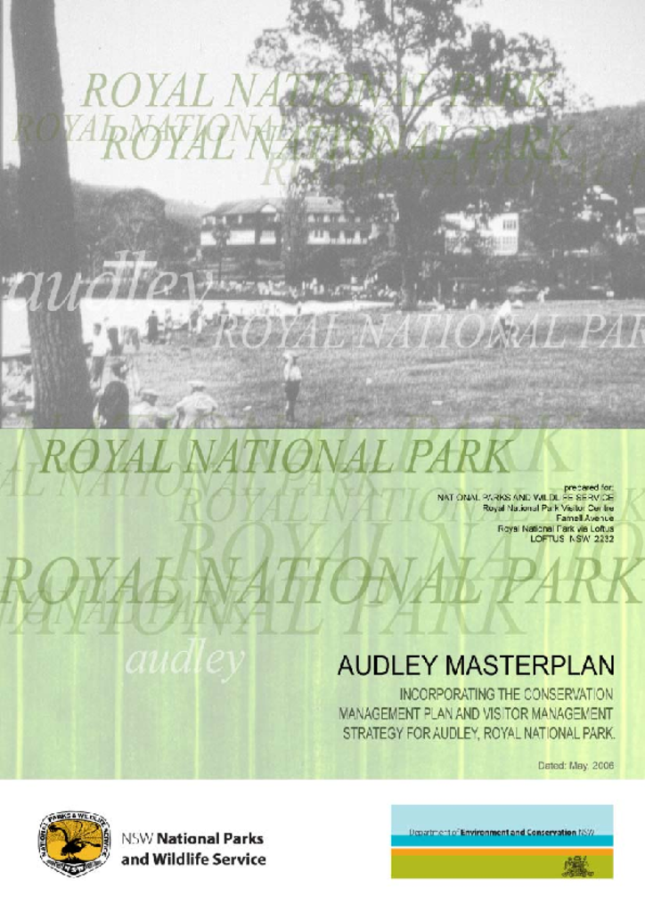
This plan is a vision for Audley based on its heritage significance assessed from physical and documentary evidence. It provides a framework for the protection and enhancement of Audley’s natural heritage and a strategy for proposals for future works.
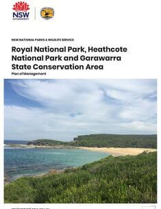
This management plan relates to 3 areas located on the southern fringe of metropolitan Sydney: Royal National Park, Heathcote National Park and Garawarra State Recreation Area.
The Royal National Park, Heathcote National Park and Garawarra State Conservation Area Plan of Management was adopted by the Minister for the Environment in 2000. The Minister for Climate Change and the Environment adopted these amendments to the plan on 15 September 2010 in relation to leases and licences.