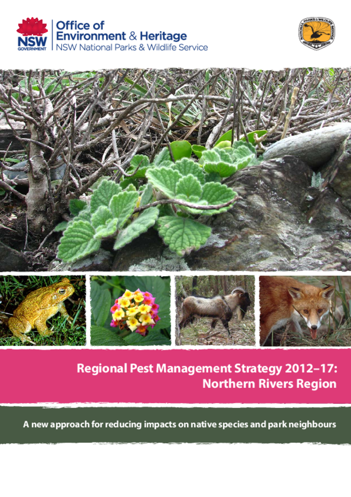
This document is the pest management strategy for the Northern Rivers Region, which is located on the far North Coast of NSW, and stretches from Grafton in the south, north to the Queensland border at Tweed Heads and west to near Killarney.
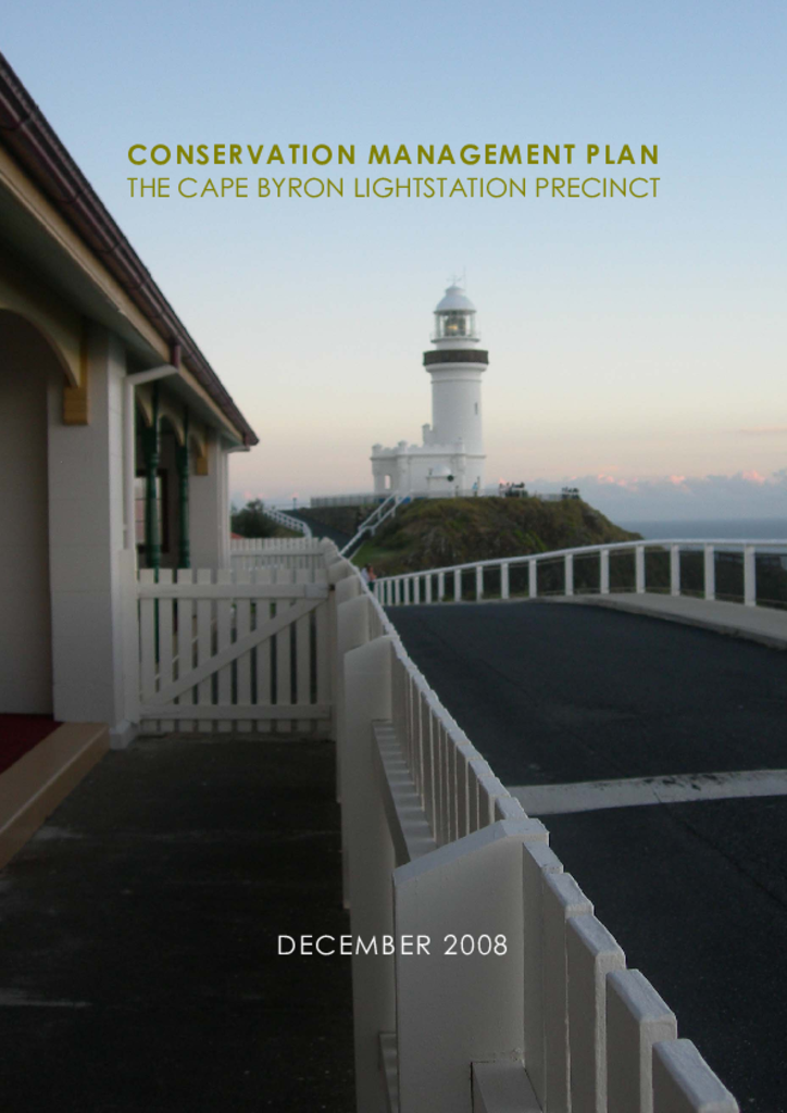
The Cape Byron Lightstation Precinct, as defined in this plan, is the area enclosed by fences on the high part of the Cape, and some small strips of land beyond the fences.
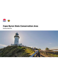
The Arakwal people jointly manage the Cape Byron State Conservation Area with the National Parks and Wildlife Service as members of the Cape Byron Trust, together with other community members. This master plan provides the joint management of this park with a clear vision to plan for the future challenges and opportunities that tourism presents the Byron Bay community.
These amendments to the 2002 Cape Byron State Conservation Area Plan of Management were adopted by the Minister for Climate Change and the Environment on 18 June 2010. These amendments provide for the existing café building at The Pass to be used as a café and/or as a kiosk, or (subject to a heritage assessment) demolition of the current building and construction of a new café and/or kiosk on the same site.
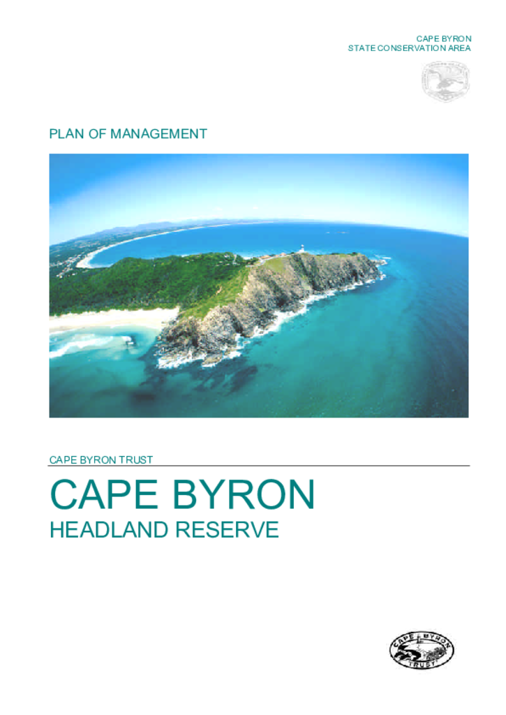
Cape Byron Headland Reserve is a state conservation area that covers 98.5 hectares, including the most easterly point of the Australian mainland. Its rugged headlands and sheltered rainforest gullies are situated on the far north coast about 2 kilometres from Byron Bay.