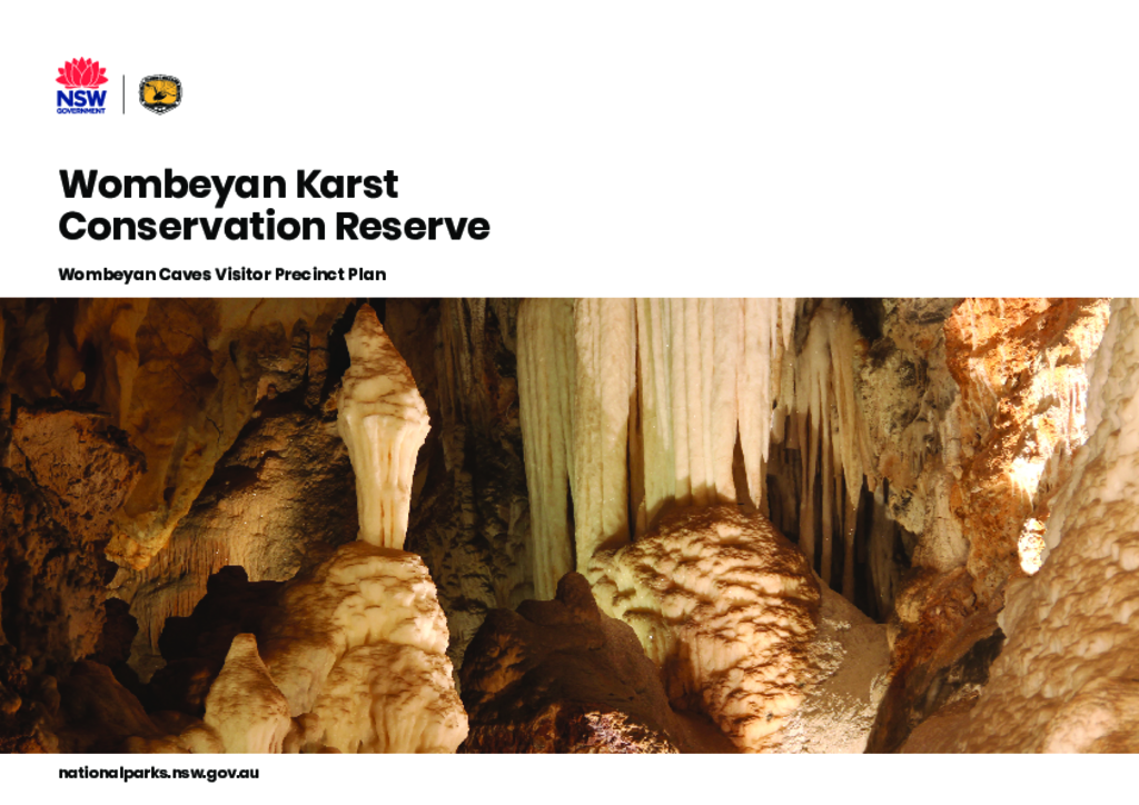
The Wombeyan Caves Visitor Precinct Plan defines a long-term direction for the visitor precinct that will inform ongoing planning, design and management and assist with future decision making.
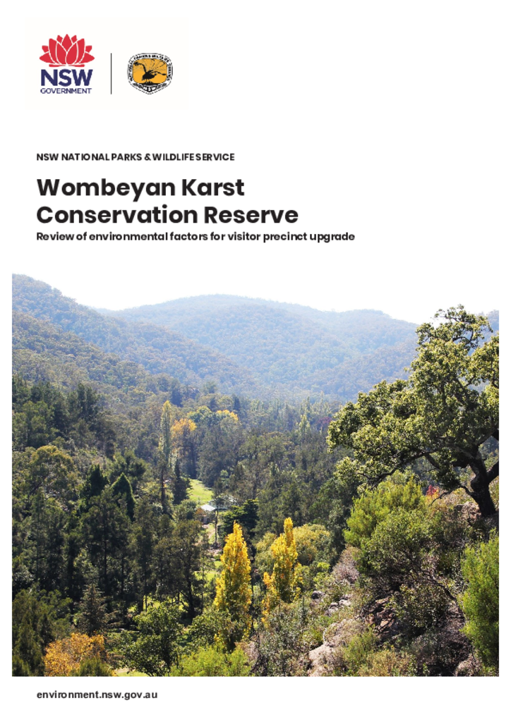
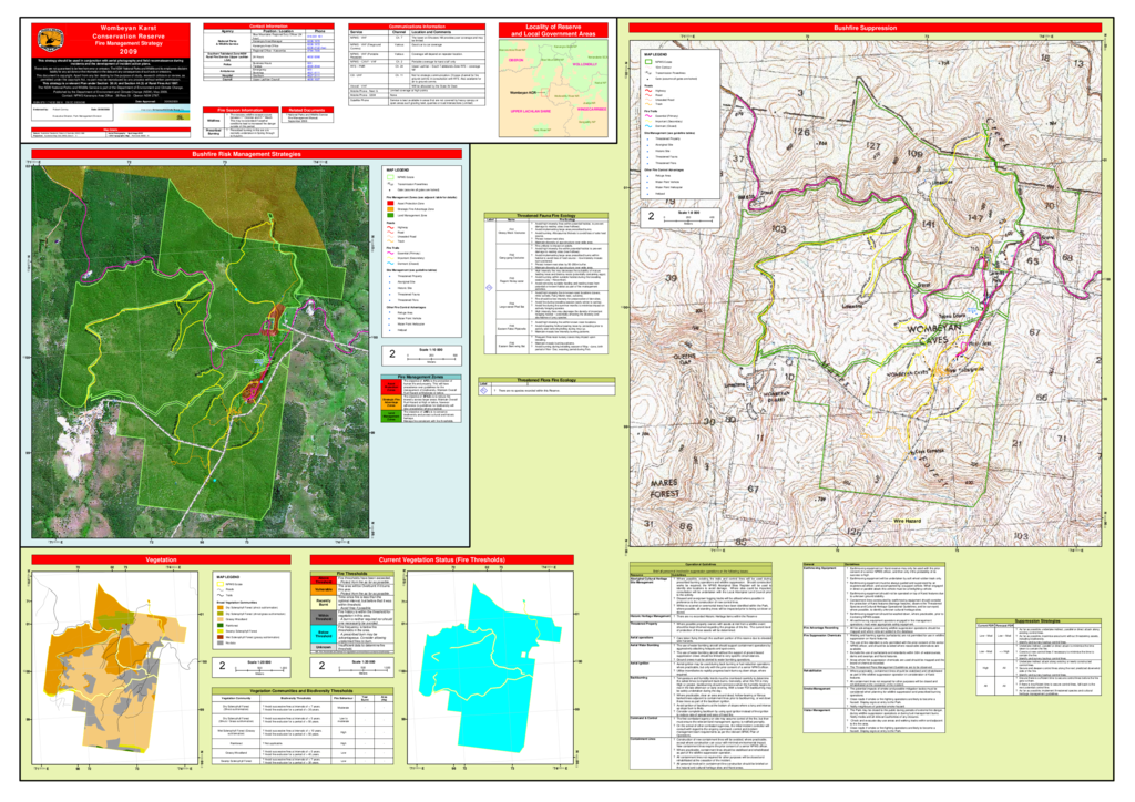
Wombeyan Karst Conservation Reserve covers an area of 417 hectares and is located in the Southern Highlands of New South Wales, 190 km south-west of Sydney, 77 km north of Goulburn and 63 km west of Mittagong. The reserve is located within Wingecarribee and Mulwaree local government areas. Within the reserve the boundary between the 2 local government areas is Wombeyan Creek.
This indigenous land use agreement is between the Gundungurra people, the Gundungurra Tribal Council Aboriginal Corporation, Gundungurra Aboriginal Heritage Association and the NSW Government.
Indigenous land use agreementAboriginal joint management agreement