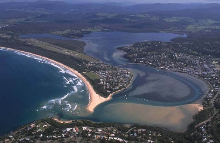
Merimbula Lake is an intermittently closed lake located on the far south coast of New South Wales. The estuary is in close proximity to the regional centre of Merimbula, but the majority of the catchment is undeveloped.
The estuary has extensive seagrass beds and supports a large oyster industry.
Water quality report card
As part of our water quality monitoring program we assess the water quality and ecosystem health of an estuary using a range of relevant indicators. We sample a subset of the estuaries between Wollongong and the Victorian border every 3 years. The most recent sampling in Merimbula Lake was completed over the 2020–21 summer, when 2 sites were sampled on a monthly basis.
This report card represents 2 water quality indicators that we routinely measure: the amount of algae present and water clarity. Low levels of these 2 indicators equate with good water quality.
The report card shows the condition of the estuary was excellent with:
- algae abundance graded excellent (A)
- water clarity graded excellent (A)
- overall estuary health graded excellent (A).
Grades for algae, water clarity and overall are represented as:
- A – excellent
- B – good
- C – fair
- D – poor
- E – very poor.
Go to estuary report cards to find out what each grade means, read our sampling, data analysis and reporting protocols, and find out how we calculate these grades.
Physical characteristics
| Estuary type | Lake |
|---|---|
| Latitude (ºS) | –36.9 |
| Longitude (ºE) | 149.92 |
| Catchment area (km2) | 37.9 |
| Estuary area (km2) | 5.6 |
| Estuary volume (ML) | 12,923.9 |
| Average depth (m) | 2.6 |
Tidal prism
Tidal prism data is available for this estuary. This tidal prism was measured in 1978.
| Tide state | Flow (ML) | Local tidal range (m) | Sydney Harbour tidal range (m) |
|---|---|---|---|
| Ebb flow | 3,270 | 0.96 | 1.4 |
| Flood flow | 1,860 | 0.77 | 1.2 |
Notes: km2 = square kilometres; m = metres; m3 = cubic metres; ML = megalitres.
Water depth and survey data
Bathymetric and coastal topography data for this estuary are available in our data portal.
Land use
The catchment of Merimbula Lake is moderately disturbed. Half the catchment has been cleared for urban or grazing land associated with the townships of Merimbula and Millingandi. Almost half the catchment is forest, including a small section of South East Forests National Park.
Web cam
The Merimbula bar crossing web camera provides real-time video of conditions within the river entrance immediately offshore to help with bar crossings and boat safety.
National and marine parks
- The largest conservation area in the Merimbula Lake catchment is South East Forests National Park.
- This estuary does not flow into a marine park.
Citizen science projects
- The Far South Coast Conservation Management Network supports the local community to better manage native biodiversity. The network organises citizen science projects, provides information for private landowners, manages a local plant database, and coordinates events.
Community involvement
- The Bega River and Wetlands Landcare Group is a volunteer group dedicated to improving the health of the Bega River, wetlands and floodplains.
- The Far South Coast Landcare Association is a volunteer environmental and conservation organisation that works to improve management of local land and water.
Seafood harvest area status
The NSW Food Authority website lists the current status of oyster/shellfish harvest areas.
Local government management
Local councils manage estuaries within their area unless the estuary is attached to a marine park. Bega Valley Shire Council manages this estuary.
Threatened species
Merimbula Lake and its surrounding catchment contain diverse ecosystems, including coastal saltmarsh and extensive seagrass beds. Over half of the lake bed is covered in seagrass.
Find out more about the biodiversity in our estuaries.