Australia’s landscape is vast. We need accurate climate change projections to help us prepare effectively for the future. Global models exist, but their coarse resolution and global scale limit their ability to simulate climate change at a regional scale.
Our scientists have developed the NSW and Australian Regional Climate Modelling system (NARCliM) to provide a more accurate simulation of climate change at a regional scale. These data projections enable us to model the potential impacts of climate change on, for example, endangered wildlife, agriculture, water supply and wildfire mitigation.
The challenge
Australia needs to prepare for the ongoing impacts of climate change. We need to understand the impacts of changing temperature and rainfall patterns. Global climate models generate projections at a scale of 150 to 200 km.
These are the best tools available to investigate climate change at global scales.
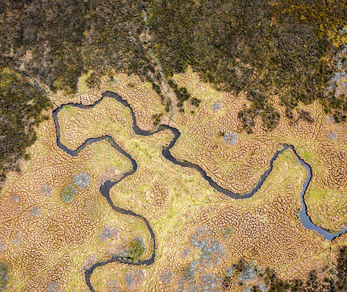
Local scale details like topography, land use, and coastlines can greatly affect the local climate, but these details are not well captured by the coarse resolution global climate models.
'This means global climate models are not the most appropriate tools when you need to look at the effects of climate change on a local region in New South Wales, like Sydney or a national park,' said Dr Giovanni Di Virgilio, who leads the climate research team.
From 2010, our climate research team has worked with partners in universities and state and territory governments to develop NARCliM (NSW and Australian Regional Climate Modelling system). NARCliM delivers high-resolution climate model data that help us understand the effects of climate change at regional scales. NARCliM uses selected global climate models and the latest climate modelling science to generate these robust regional climate simulations.
These projections describe plausible future climate scenarios to help users understand and plan for climate change.
Climate models are being continually updated with advancing research, technology and guidance from the Intergovernmental Panel on Climate Change.
The design of NARCliM2.0 was guided by detailed stakeholder consultation and feedback after the release of earlier generations in 2014 and 2020.
Previous generations of NARCliM produce projections at a resolution of 10 km over south-east Australia, and 50 km over Australasia.
The next generation of climate model data, NARCliM2.0, will provide 4-km resolution grids over south-east Australia that give an even more detailed view of our future climate. These finer-scale data will enable a broad range of users to better understand the impacts of climate change on local agriculture, water supply, wildfire mitigation, and conservation management.
'These projections can show where and when we may experience conditions that have an impact on factors such as endangered wildlife,' Dr Di Virgilio said. 'For example, the data could show areas or periods of more frequent or longer-term conditions conducive to dangerous wildfires, helping inform land management tasks such as town planning, and planning of hazard reduction burns.'
NARCliM2.0 is already showing marked improvements in simulating historical maximum temperature and precipitation compared with earlier NARCliM generations. The more detailed projections NARCliM2.0 provides is also feeding directly into our climate adaptation, policy, risk assessment and planning work.
NARCliM is widely used by a range of government agencies, consultants and land managers. It has also been adopted by partners in other states, such as the South Australian Department for Environment and Water.
'With the NARCliM products, we can show partners in South Australia for the first time that climate change is dynamic – there’s a gradient of change and some inland areas of South Australia are going to change much more than coastal areas. We couldn’t visualise that before,' said Graham Green, Principal Advisor for Climate Change Science in the SA Department for Environment and Water.
'Because South Australia has less expertise than New South Wales in climate modelling, it made sense to partner with the NSW Department of Climate Change, Energy, the Environment and Water.'
'Being able to join this partnership has been really beneficial to us. Climate modelling is so complicated it’s just a better way to go. They’ve got the best climate modellers in Australia working on NARCliM, so it has credibility. Now we’re really looking forward to the release of the NARCliM2.0.'
NARCliM2.0 is currently in production and is due to be released in stages with each emissions scenario, from the end of 2023 and into 2024.
The substantial increase in resolution of NARCliM2.0 means that it generates 15 times the amount of data compared with previous generations of NARCliM.
Plans are already underway through to 2030 for the ongoing development of future generations of NARCliM with even higher levels of sophistication.
More partners around the country are keen to access the cutting-edge system. New South Wales recently partnered with the Western Australian Government on NARCliM2.0, and partnerships with other jurisdictions are expected.