Pambalong Nature Reserve covers 34 hectares on the western side of the of the F3 freeway, approximately 20 kilometres north-west of Newcastle. The reserve was gazetted in December 2000 over former farmland acquired by the Roads and Traffic Authority during construction of the freeway.
Booti Booti National Park includes the narrow sand barrier which separates Wallis Lake and the Pacific Ocean as well as the spectacular headlands of Cape Hawke to the north of Booti Hill and Charlotte Head to the south.
The planning area includes Myall Lakes National Park and the offshore Myall Coast Reserves. Myall Lakes National Park is over 44,000 hectares in size and is about 50 kilometres north of Newcastle and 30 kilometres south of Forster.
Watagans National Park and Jilliby State Conservation Area are located 60 kilometres north of Sydney, 31 kilometres west of Newcastle and 15 kilometres south of Cessnock. Watagans National Park covers 7,798 hectares and Jilliby State Conservation Area 12,159 hectares.
Wollemi National Park covers an area of about 488,620 hectares of rugged dissected plateau located on the north-west fringe of the Sydney Basin. The park is the second largest national park in New South Wales. It is part of a large system of unmodified and interconnected sandstone landscapes surrounding the Sydney metropolitan area.
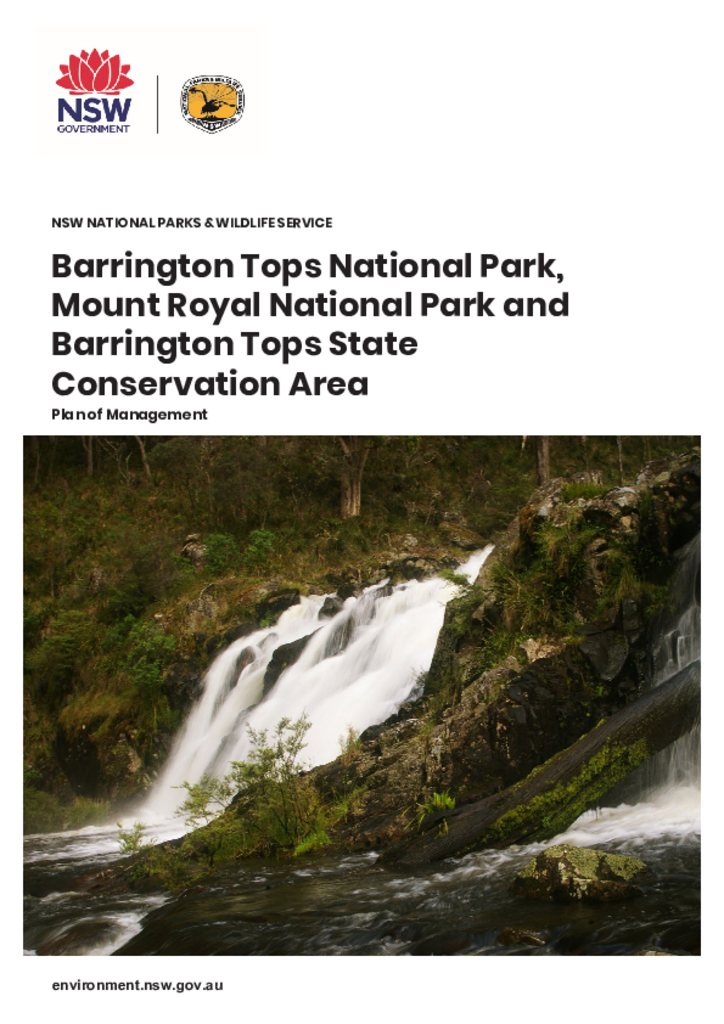
Barrington Tops National Park, Mount Royal National Park and Barrington Tops State Conservation Area are located approximately 90 kilometres north-west of Newcastle and cover a combined area of 89,299 hectares. The parks are within the traditional Country of the Biripi, Worimi, Geawegal and Wonaruah Aboriginal people.
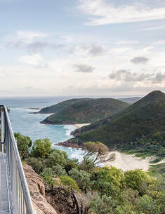
The Tomaree Coastal Walk will allow visitors to undertake an iconic 20-kilometre walking experience that links Tomaree Head and the rocky coast and sheltered beaches of Tomaree National Park, with Birubi Point at the southern end of the walk.
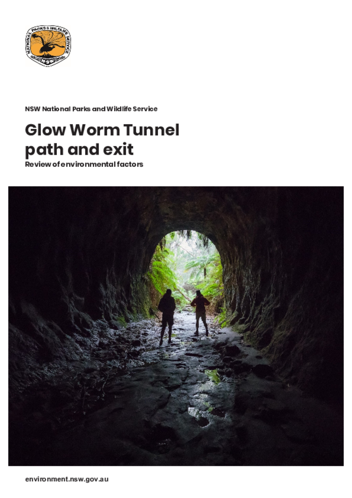
The National Parks and Wildlife Service proposes to construct a new pedestrian path through the Glow Worm Tunnel in Wollemi National Park and upgrade the tunnel exit area, including retaining the collapsed tunnel exit area.