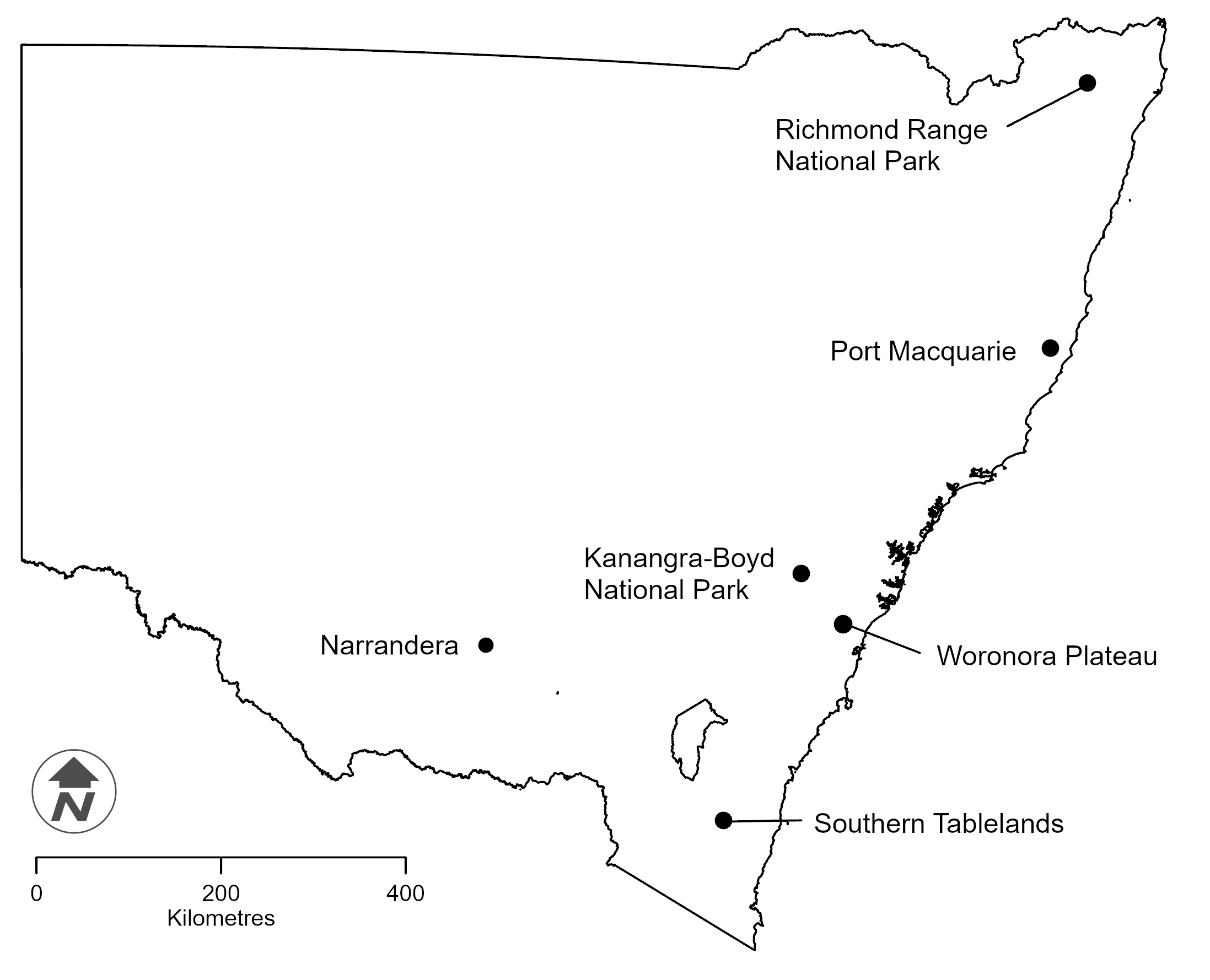
Launched in 2023 under the NSW Koala Strategy, the program collects critical data about 6 individual koala populations to investigate the complex factors that influence koala health, movement and reproduction. Each site will be monitored yearly, for up to 3 years.
Initial results have revealed that koala population health cannot be assessed or predicted by a single factor such as population density or genetic diversity. Instead, koala population health is influenced by a diverse range of ecological, physiological and genetic factors, which often interact in complex and unexpected ways.
Data show variations in age structure, breeding success and disease prevalence within the different populations being monitored.
We are also assessing critical threats to koala survival, such as predation, ability to adapt to climate change, habitat loss and fragmentation, and surrounding land uses, to better understand how these threatening processes impact koala populations.
Monitoring sites
The 6 sites are located across the state, including:
- Richmond Range National Park on the far north coast
- Kanangra–Boyd National Park in the Greater Blue Mountains area
- Port Macquarie national parks and reserves on the mid north coast
- Southern Tablelands
- Narrandera in the Riverina
- Woronora Plateau in the south of Sydney.
Heat-sensing drones are used to find koalas at night, then animal handlers catch the koalas for assessment at a mobile field hospital run by the Taronga Conservation Society Australia's veterinary team.
Approximately 50 koalas are captured at each site and each koala is given a comprehensive health check. As part of this health assessment, samples are taken from each koala to assess their health, disease status and genetics.
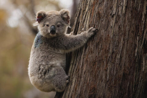
After their health assessment, each koala is fitted with an ear tag so we can easily identify them in later years before being released back into the tree from which they were caught. Some koalas are fitted with a GPS tracker so we can watch and record their movements for up to a year.
Data from GPS trackers is used to understand the movements of koalas at each site. These trackers enable us to better understand key aspects of koala ecology such as how much space they need to survive, what environmental features are most important to them and how they respond to disturbances such as fire and heatwaves.
Additionally, leaf and scat samples are collected to gather data on nutrition and other ecological variables. These samples are analysed by researchers at the University of Sydney, Western Sydney University and Australian National University to help us understand how the leaf nutrition of koala feed tree species contributes to koala health and ecology.
-
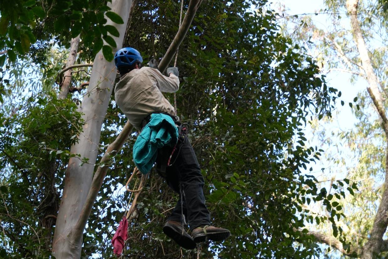
Animal handler climbs a tree to catch a koala -
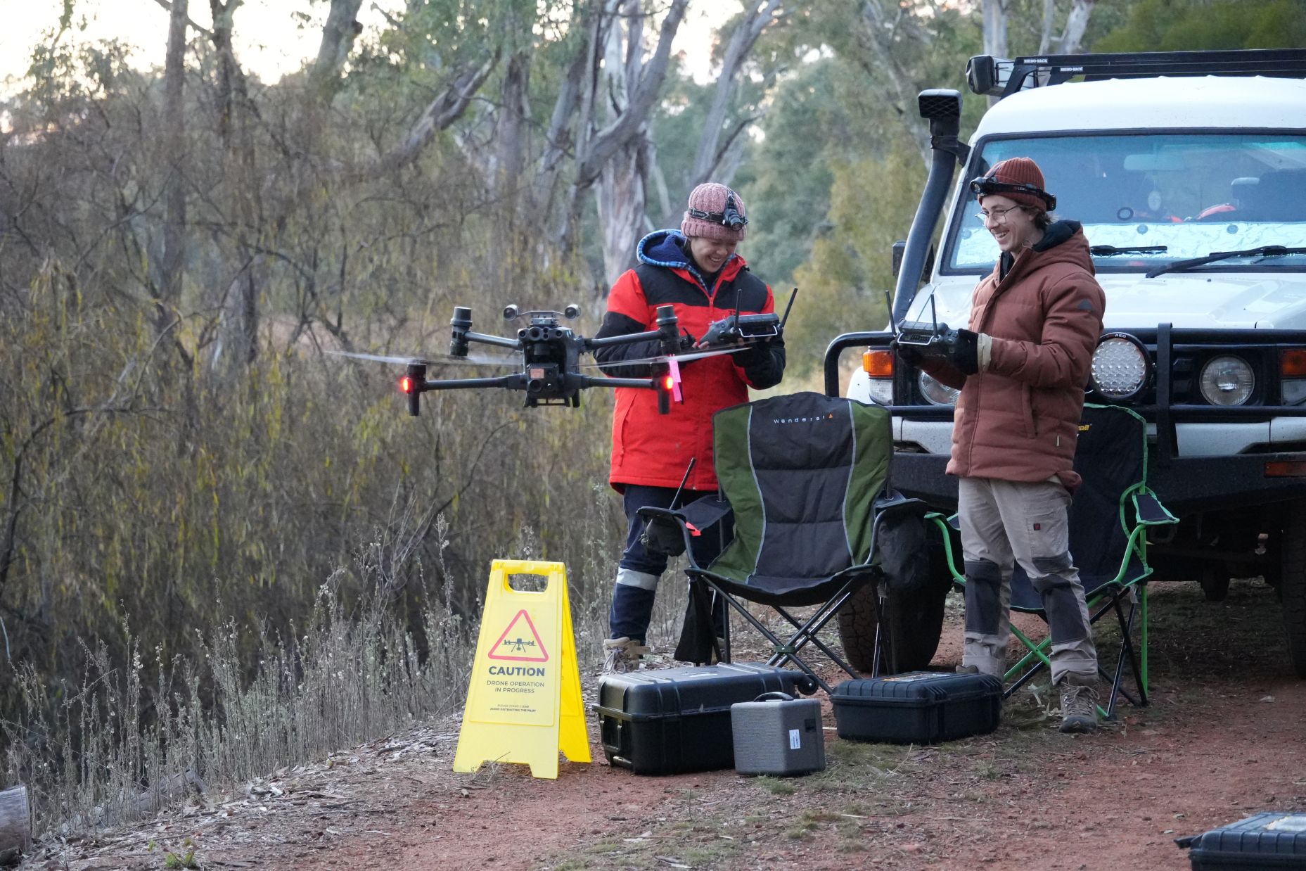
Researchers test heat-detecting drones before they send them on a night flight to find koalas -
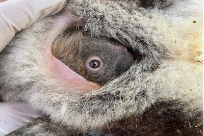
Baby koala in its mother’s pouch during veterinary examination -
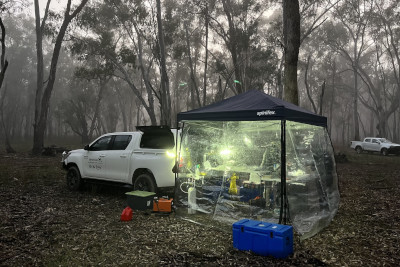
Koala field hospital set up -
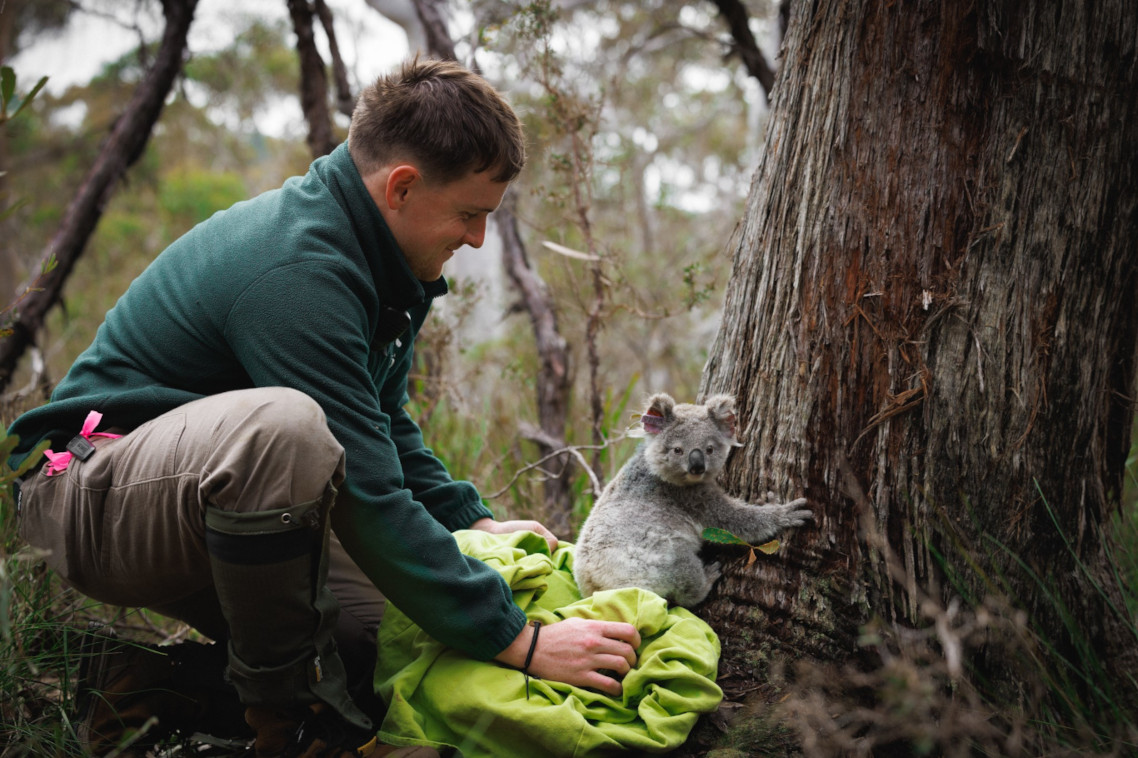
A koala is released onto the tree from which it came -

Koala climbing the tree from which it was caught
Program partners
- Taronga Conservation Society Australia
- NSW National Parks and Wildlife Service
- NSW Department of Primary Industries and Regional Development
- University of Sydney
- Western Sydney University
- Australian National University
- CSIRO
- Science for Wildlife
- Non-government organisations