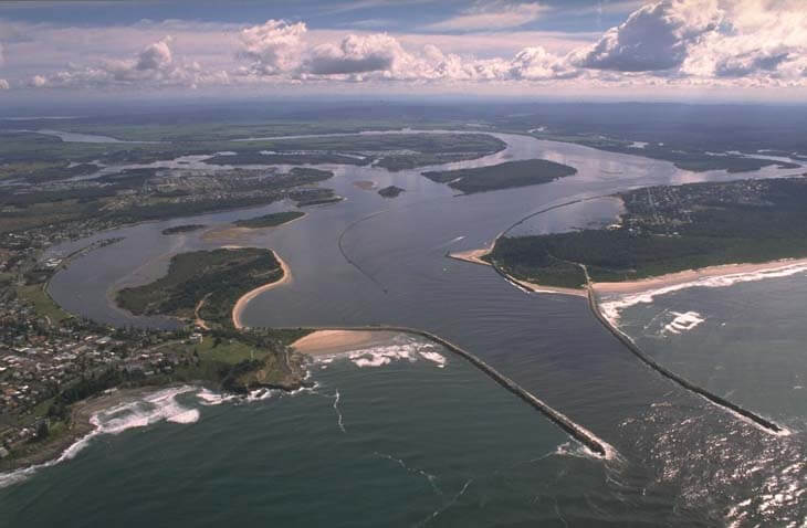
The Clarence River estuary is located on the north coast of New South Wales. Rising in the Macpherson Ranges on the Queensland and New South Wales border, it is classed as a barrier river estuary with a permanently open, trained entrance between the townships of Iluka and Yamba.
The scale of the Clarence River is immense. It is the largest coastal river system with the largest catchment in New South Wales. The river is over 400 kilometres long and the estuary reaches over 100 kilometres inland to Copmanhurst, its tributaries include the Mann, Nymboida and Orara rivers.
Water quality
Clarence Valley Council, in collaboration with the University of New England’s EcoHealth program, has carried out detailed ecosystem health monitoring in the Clarence River. The results of the monitoring program, including a detailed water quality report card, are available on the Clarence Valley Council website Clarence Valley Council website.
Go to estuary report cards to find out what each grade means, read our sampling, data analysis and reporting protocols, and find out how we calculate these grades.
Physical characteristics
| Estuary type | Barrier river |
|---|---|
| Latitude | –29.43 (ºS) |
| Longitude | 153.37 (ºE) |
| Catchment area | 22,055.1 km2 |
| Estuary area | 132.3 km2 |
| Estuary volume | 283,001.0 ML |
| Average depth | 2.2 m |
Notes: km2 = square kilometres; m = metres; ML = megalitres.
Water depth and survey data
Bathymetric and coastal topography data for this estuary are available in our data portal.
Land use
Over half of the land within the large Clarence River catchment remains forested. About 20% of the catchment falls within national parks and 30% within Forestry Corporation land. Beef production and cleared land for various other forms of agriculture and rural residence make up the next largest land-use type.
The main towns in the catchment are Grafton, Maclean, Dorrigo, Tenterfield, Yamba and Iluka, which contain urban areas that make up less than 1% of the catchment.
Water use
Find out about water use in the Clarence River, including information about major water users, real-time flow data, and environmental and water sharing plans.
Web cam
The Iluka/Yamba bar crossing web camera provides real-time video of conditions within the river entrance immediately offshore to help with bar crossings and boat safety.
National and marine parks
- The largest conservation area in the Clarence River catchment is Washpool National Park.
- This estuary does not flow into a marine park.
Citizen science projects
- The Koalas in the Clarence Valley project collects data on where koalas have been seen in the region.
- Clarence Valley Council runs the Caring for our Coastal Emus project, which includes an online emu register that community members can report where they have seen coastal emus.
Community involvement
- Clarence Landcare supports a host of local volunteer groups within this catchment that are working work to protect, restore and improve the natural environment.
Seafood harvest area status
The NSW Food Authority website lists the current status of oyster/shellfish harvest areas.
Local government management
Local councils manage estuaries within their area unless the estuary is attached to a marine park. Clarence Valley Council manages this estuary.
Threatened species
Many threatened shorebirds, such as the Australian painted snipe, rely on this large estuary.
Find out more about the biodiversity in our estuaries.