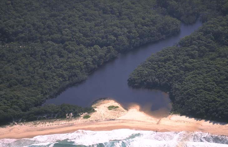
Nerrindillah Creek, also known as Nerrindillah Lagoon, is classed as an estuarine creek with an intermittently closed entrance. It is located on the south coast of New South Wales.
Water quality report card
As part of our water quality monitoring program we assess the water quality and ecosystem health of an estuary using a range of relevant indicators. We sample a subset of the estuaries between Wollongong and the Victorian border every 3 years. The most recent sampling in Nerrindillah Creek was completed over the 2014–15 summer, when 2 sites were sampled on a monthly basis.
This report card represents 2 water quality indicators that we routinely measure: the amount of algae present and water clarity. Low levels of these 2 indicators equate with good water quality.
The report card shows the condition of the estuary was good with:
- algae abundance graded fair (C)
- water clarity graded good (B)
- overall estuary health graded good (B).
Grades for algae, water clarity and overall are represented as:
- A – excellent
- B – good
- C – fair
- D – poor
- E – very poor.
Go to estuary report cards to find out what each grade means, read our sampling, data analysis and reporting protocols, and find out how we calculate these grades.
We have monitored water quality in Nerrindillah Creek since 2014. This table shows the water quality grades for this estuary over that time.
| Year | Algae | Water clarity | Overall grade |
|---|---|---|---|
| 2014–15 | D | B | C |
Physical characteristics
| Estuary type | Creek |
|---|---|
| Latitude (ºS) | –35.23 |
| Longitude (ºE) | 150.53 |
| Catchment area (km2) | 17.2 |
| Estuary area (km2) | 0.1 |
| Estuary volume (ML) | 23.8 |
| Average depth (m) | 0.3 |
Notes: km2 = square kilometres; m = metres; ML = megalitres.
Water depth and survey data
Bathymetric and coastal topography data for this estuary are available in our data portal.
Land use
Nerrindillah Creek catchment has little disturbance. Over 90% remains forested and is partly located in Conjola National Park. About 5% of land is used for grazing.
National and marine parks
- Conjola National Park is the largest conservation area in the catchment area for Nerrindillah Creek.
- There is no marine park associated with this estuary.
Citizen science
- Our South Coast Shorebird Recovery Program provides the opportunity for people to get involved in the protection and recovery of shore birds.
Local government management
Local councils manage estuaries within their area unless the estuary is attached to a marine park.
Shoalhaven City Council manages this estuary.
Threatened species
Conjola National Park and the catchment area around Nerrindillah Creek contain significant native animals and plants. A pair of hooded plovers has been recorded at Nerrindillah Creek.
Read more about the biodiversity in our estuaries.