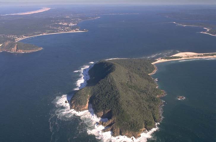
Port Stephens estuary is located on the Hunter coast of New South Wales. It is classed as a drowned valley and is permanently linked to the ocean via a large deep entrance.
Port Stephens hosts a diverse range of aquatic habitats which give it enormous ecological value. It is a popular tourist destination and has high recreational value. Many businesses rely on the pristine environment of the estuary and surrounds, giving it large economic value. Its major tributaries include the Myall River, Karuah River and Tilligerry Creek.
Water quality report card
As part of our water quality monitoring program we assess the water quality and ecosystem health of an estuary using a range of relevant indicators. We sample a subset of the estuaries located between the Queensland border and Taree every 3 years. The most recent sampling in Pine Brush Creek was completed over the 2021–22 summer, when 2 sites were sampled on a monthly basis.
This report card represents 2 water quality indicators that we routinely measure: the amount of algae present and water clarity. Low levels of these 2 indicators equate with good water quality.
The report card shows the condition of the estuary was excellent with:
- algae abundance graded excellent (A)
- water clarity graded excellent (A)
- overall estuary health graded excellent (A).
Grades for algae, water clarity and overall are represented as:
- A – excellent
- B – good
- C – fair
- D – poor
- E – very poor.
Go to estuary report cards to find out what each grade means, read our sampling, data analysis and reporting protocols, and find out how we calculate these grades.
We have monitored water quality in Port Stephens since 2010. This table shows the water quality grades for this estuary over that time.
| Year | Algae | Water clarity | Overall grade |
|---|---|---|---|
| 2010–11 | B | B | B |
| 2013–14 | B | A | B |
| 2016–17 | B | B | B |
| 2019–20 | B | A | B |
Physical characteristics
| Estuary type | Drowned valley |
|---|---|
| Latitude (ºS) | –32.71 |
| Longitude (ºE) | 152.2 |
| Catchment area (km2) | 296.8 |
| Estuary area (km2) | 134.4 |
| Estuary volume (ML) | 1,741,516.5 |
| Average depth (m) | 14.1 |
Tidal exchange volume
Tidal exchange volume or tidal prism data is available for this estuary. This tidal prism was measured in 1993.
| Tide state | Flow (ML) | Local tidal range (m) | Sydney Harbour tidal range (m) |
|---|---|---|---|
| Ebb flow | 165,000 | 1.16 | 1.1 |
| Flood flow | 150,000 | 1.18 | 1.1 |
Notes: km2 = square kilometres; m = metres; m3 = cubic metres; ML = megalitres.
Water depth and survey data
Bathymetric and coastal topography data for this estuary are available in our data portal.
Land use
Most land-use changes that have occurred in the Port Stephens catchment relate to urban development and associated rural residence, especially on the southern shore of the estuary. Most of the catchment remains as bushland, a lot of which is managed in conservation areas or by Forestry Corporation.
Web cam
The Shoal Bay bar crossing web camera provides real-time video of conditions within the river entrance immediately offshore to help with bar crossings and boat safety.
National and marine parks
- This estuary is part of the Port Stephens Great Lakes Marine Park.
Community involvement
- The Environment and natural resources webpage on the Port Stephens Council website provides information about local volunteer environmental groups active in and around this estuary.
Seafood harvest area status
The NSW Food Authority website lists the current status of oyster/shellfish harvest areas.
Local government management
Local councils manage estuaries within their area unless the estuary is attached to a marine park. Port Stephens Council and Port Stephens Great Lakes Marine Park manage this estuary.
The Port Stephens Estuary Management Plan is available on the council’s website.
Threatened species
Port Stephens and its associated plant communities provide important habitat for the vulnerable squirrel glider.
Read more about the biodiversity in our estuaries.