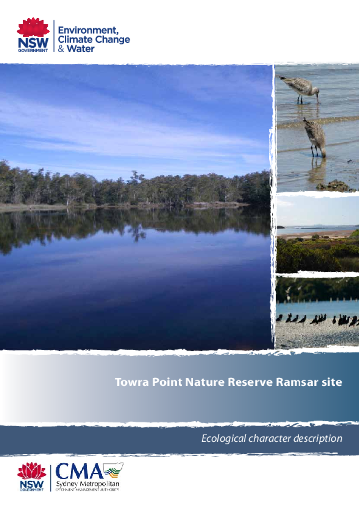
Towra Point Nature Reserve Ramsar site consists of 386.5 hectares of wetlands that lie on the southern shore of Botany Bay, approximately 16 kilometres from Sydney city centre. The entire Ramsar site lies within Towra Point Nature Reserve.
This manual details the policies and procedures for all marine wildlife management planning and operations undertaken by the NSW National Parks and Wildlife Service to fulfil its marine wildlife responsibilities under the National Parks and Wildlife Act 1974 and the Biodiversity Conservation Act 2016.
This report identifies high-quality and core koala habitat, koala movement corridors, and koala roadkill hotspots in the Wollondilly and Campbelltown Local Government Areas to inform management decisions related to future development.
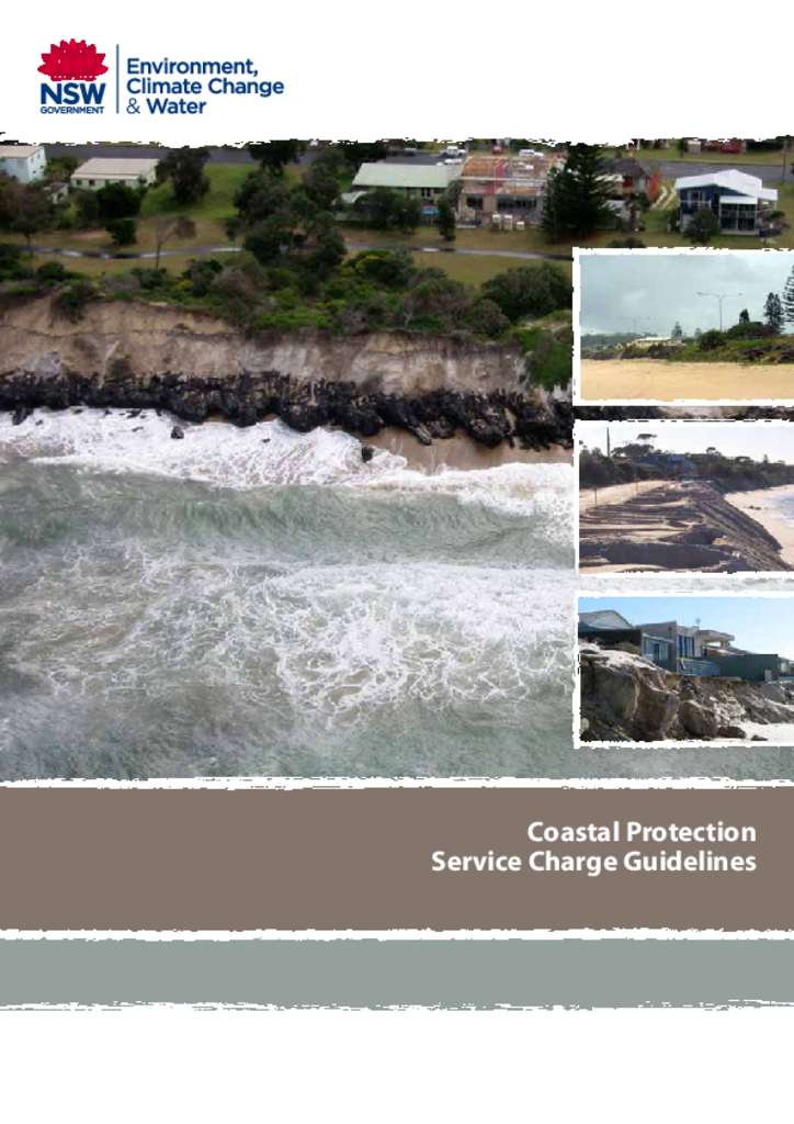
The NSW coast is subject to a generally moderate wave climate periodically affected by large wave events originating from offshore storm systems. Such events, particularly when they occur coincidentally with high water levels, may cause coastal inundation, beach erosion, damage to property and marine structures, and risks to public safety.
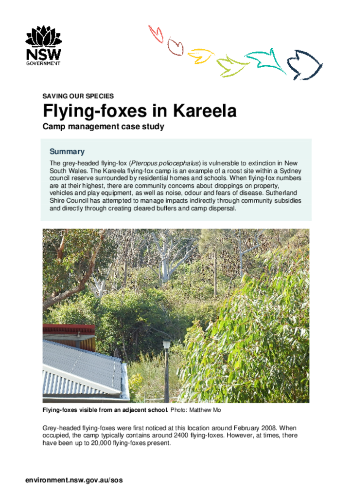
The Kareela flying-fox camp is surrounded by residential homes and schools. Sutherland Shire Council has attempted to manage impacts indirectly through community subsidies and directly through creating cleared buffers and camp dispersal.
This framework presents a structured approach that decision-makers, such as councils and environmental regulators, can use to help manage the impact of land-use activities on the health of waterways in New South Wales.
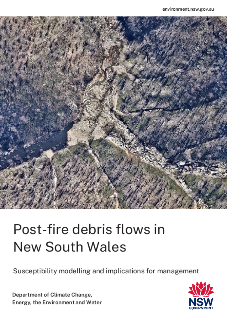
Debris flows are extremely damaging and dangerous post-fire hazards that can cause significant short- and long-term impacts to rivers and aquatic ecosystems, water quality, and infrastructure. However, they are a relatively poorly understood process in New South Wales.
These guidelines describe in detail the requirements associated with levying the Coastal Protection Service Charge (CPSC) on landowners who have voluntarily constructed a coastal protection work.