To manage NSW land and soil in the most productive and sustainable way, we need to gather as much information as possible, and to share it with the people who make decisions on natural resource management. The department helps to achieve this through our soil mapping activities, our online information systems and the data within them.
Having accurate and accessible information about land and soil helps us to manage them in the most productive and sustainable way.
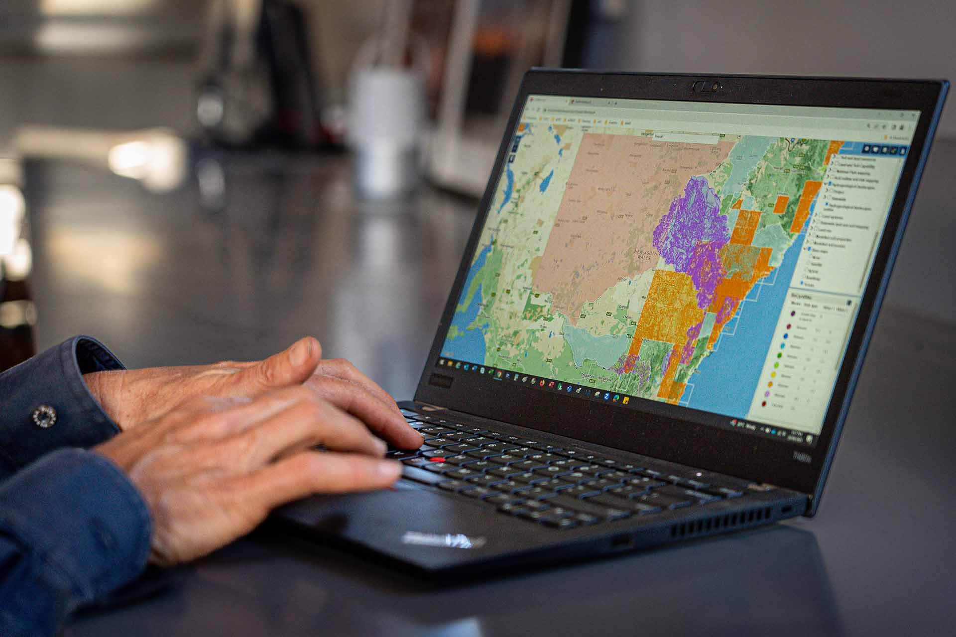
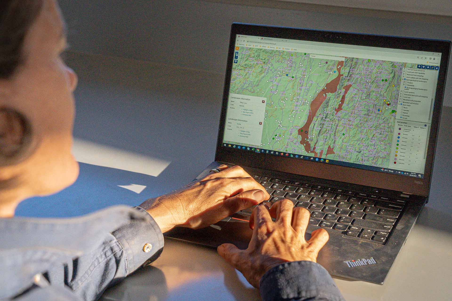
Access free, map-based land and soil data collected from thousands of sites across New South Wales.
Discover the wide range of land and soil information collected and stored in our database, how it is accessed, and how you can contribute.
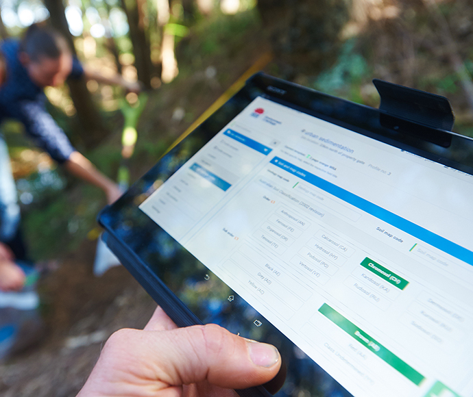
An internet system for recording soil profile information in the field and entering it into the Soil and Land Information System (SALIS).
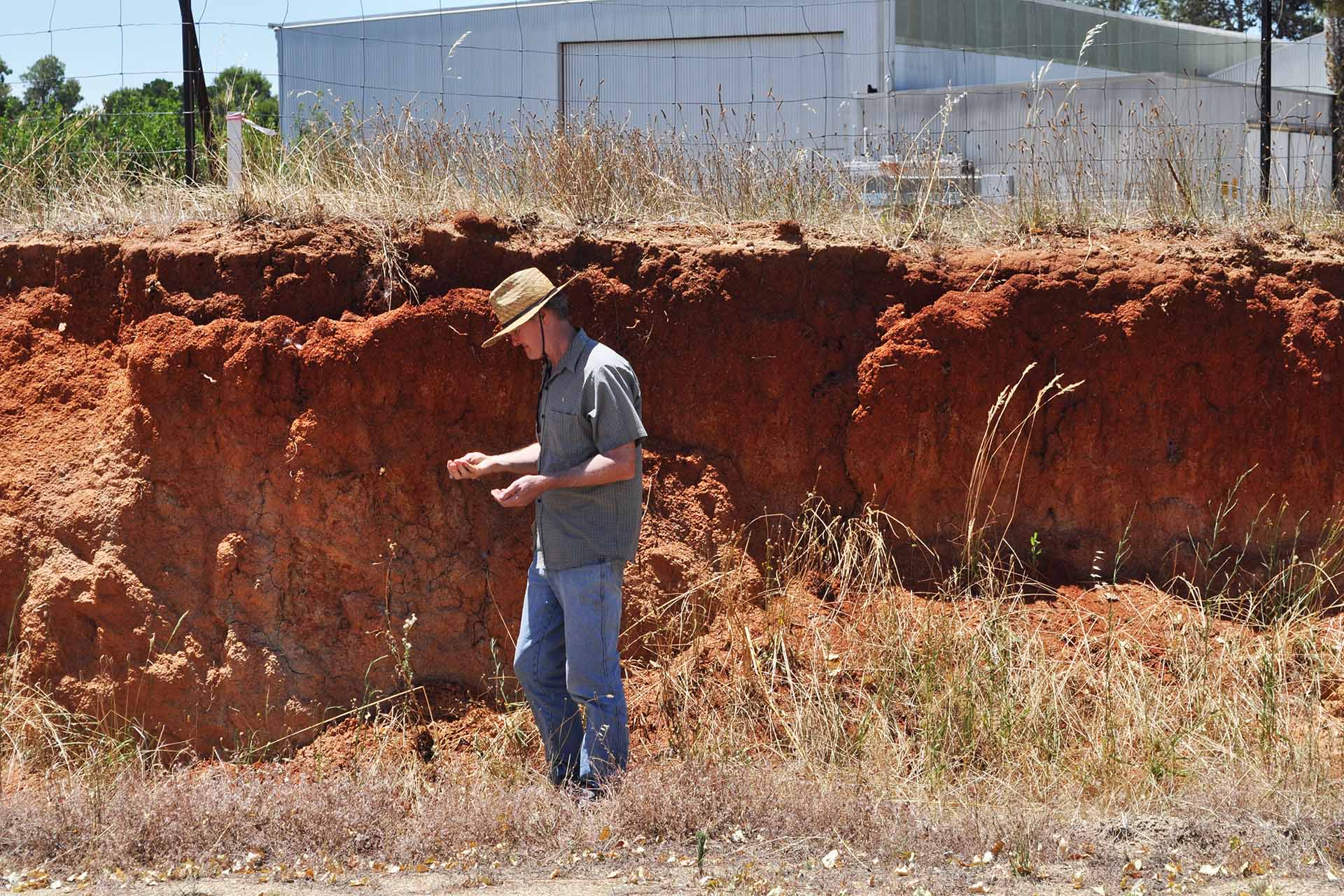
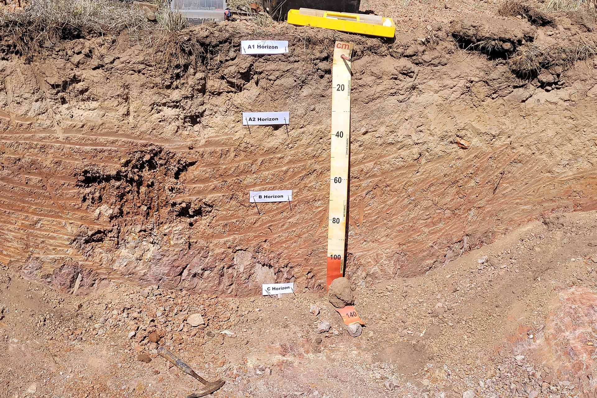
Soil mapping describes the properties of soils and the landscapes in which they occur.
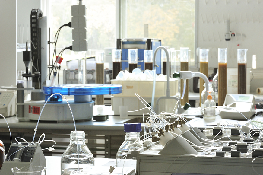
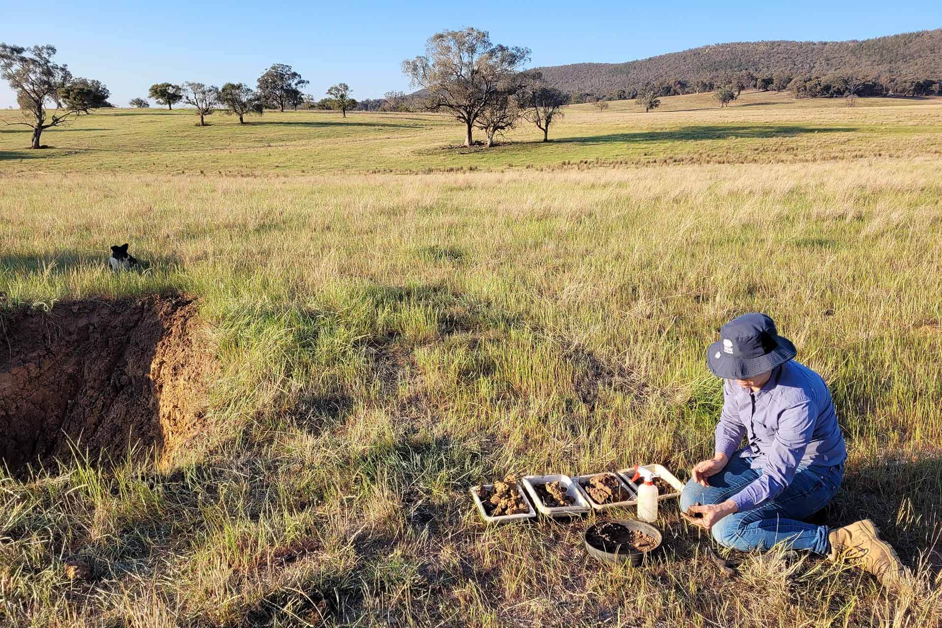
Soil sampling and analysis provide chemical and physical information about your soil quality.
SoilTalk! news
Stay up to date on the latest news and events about landscapes, soils and systems in New South Wales.