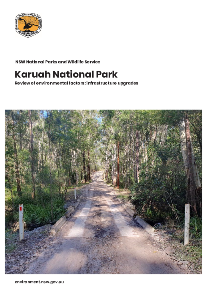
A review of environmental factors to inform the upgrades to the Hobarts Forest Road vehicle bridge and improvements to Tattersalls and Double Bay day use areas in Karuah National Park.
Review of environmental factorsKaruah National Park
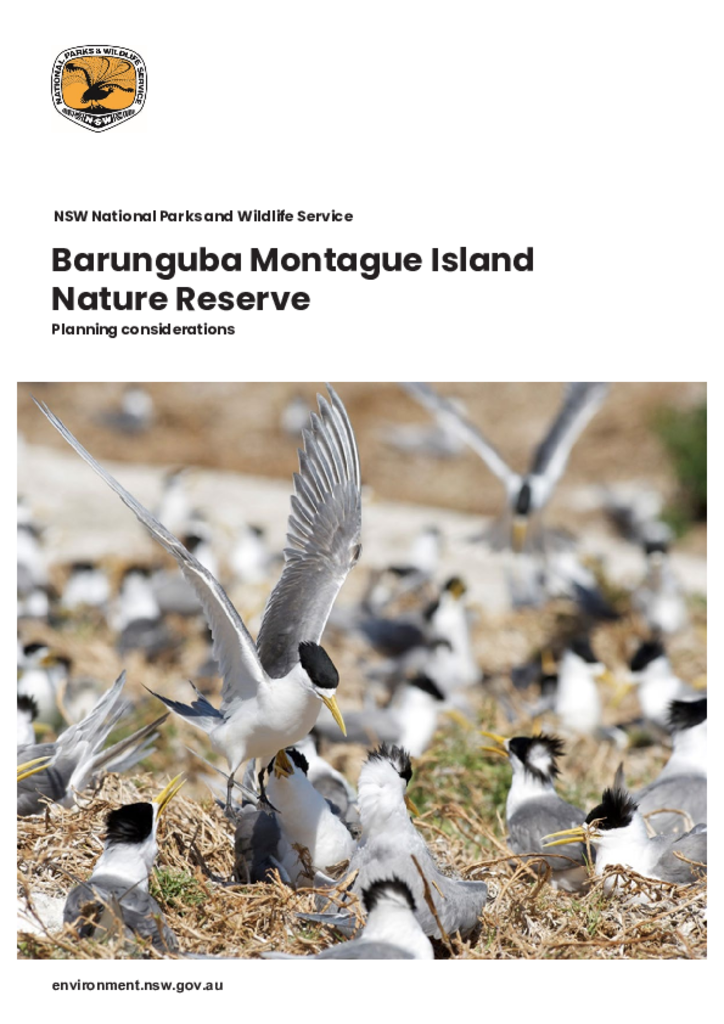
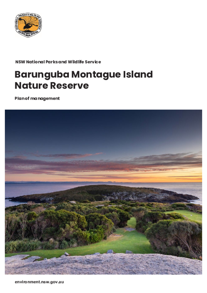
Barunguba Montague Island Nature Reserve is located on Barunguba Montague Island, an island in the Tasman Sea, approximately 9 km south-east of Narooma, off the Far South Coast of New South Wales.
Barunguba Montague Island Nature Reserve is located on Barunguba Montague Island, an island in the Tasman Sea, approximately 9 km south-east of Narooma on the Far South Coast of New South Wales.
Mugii Murum-ban State Conservation Area (3,924 hectares) is located 40 kilometres north of
Lithgow and 3 kilometres north-east of Capertee and was reserved on
4 March 2011.
Statement of management intentMugii Murum-ban State Conservation Area
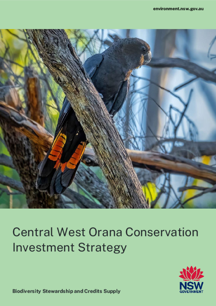
This strategy identifies the key strategic conservation priorities in the Central West Orana region. Conservation priorities include areas in the region where protection and restoration will improve connectivity, resilience and biodiversity values.
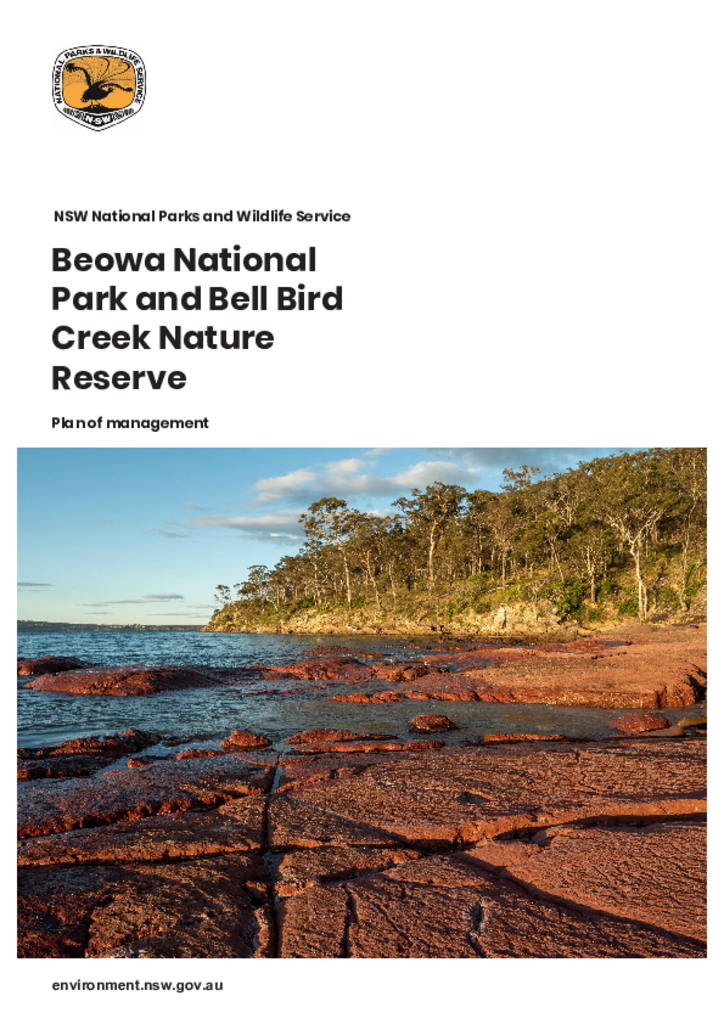
Beowa National Park and Bell Bird Creek Nature Reserve are located on the far south coast of New South Wales. The national park has an area of 10,485 hectares and is comprised of 3 sections: large areas north and south of Eden and a much smaller area north of the Pambula River. The nature reserve lies adjacent to the central section of the park and covers 53 hectares.
Dorrigo Arc Rainforest Centre is a new, modern, international-standard visitor centre located in Dorrigo National Park and within the Gondwana Rainforests of Australia World Heritage property.
Review of environmental factorsDorrigo National Park