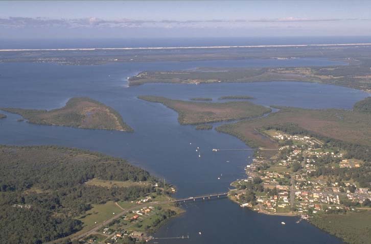
The Karuah River estuary is located on the mid-north coast of New South Wales and flows into Port Stephens. It is classed as a barrier river estuary.
The Karuah River flows in a distinct north-south orientation and is roughly paralleled to the east by Myall River, reflecting the underlying geology of this region. The Branch River converges with the Karuah River in the mid-section of the estuary, which supports a vast area of mangrove forest.
Water quality
As part of our water quality monitoring program we assess the water quality and ecosystem health of an estuary using a range of relevant indicators. We sample 2 sites on a monthly basis over summer in the Karuah River estuary as part of a collaborative program with MidCoast Council.
The most recent sampling was completed over the 2023–24 summer. The results of the monitoring program, including a detailed water quality report card for Karuah River are available on the MidCoast Council website.
Go to estuary report cards to find out what each grade means, read our sampling, data analysis and reporting protocols, and find out how we calculate these grades.
Physical characteristics
| Estuary type | Barrier river |
|---|---|
| Latitude | –32.67 (ºS) |
| Longitude | 151.97 (ºE) |
| Catchment area | 1448.4 km2 |
| Estuary area | 17.9 km2 |
| Estuary volume | 31,221.4 ML |
| Average depth | 2.2 m |
Tidal exchange volume
Tidal exchange volume or tidal prism data is available for this estuary. This tidal prism was measured in 1993.
| Tide state | Flow (ML) | Local tidal range (m) | Sydney Harbour tidal range (m) |
|---|---|---|---|
| Ebb flow | 12,600 | 1.26 | 1.04 |
| Flood flow | 14,650 | 1.33 | 1.08 |
Notes: km2 = square kilometres; m = metres; m3 = cubic metres; ML = megalitres.
Water depth and survey data
Bathymetric and coastal topography data for this estuary are available in our data portal.
Land use
The catchment of the Karuah River was originally impacted by timber industry owing to the favourable deep-water access to the estuary via Port Stephens. Today, around two thirds of the catchment is forested, with Forestry Corporation and National Parks and Wildlife Service managing about half of this. In the remaining third of the catchment, agriculture is the dominant land use, mainly beef and poultry production.
Water use
Find out about water use in the Karuah River, including information about major water users, real-time flow data, and environmental and water sharing plans.
National and marine parks
- Barrington Tops National Park is the largest conservation area in this catchment.
- This estuary is situated within the Port Stephens Great Lakes Marine Park.
Community involvement
- Karuah and Great Lakes Landcare is an umbrella group that supports local sustainability and conservation initiatives, both on the land and in the water.
- Karuah Catchment Landcare Group is an active forum to share ideas and information, and works to engage landholders to care for the land and contribute advice for land and ecology management.
Local government management
Local councils manage estuaries within their area. Where an estuary is attached to a marine park, marine park management teams are responsible for ensuring compliance with marine park zoning.
MidCoast Council manage this estuary and the Karuah River Catchment Management Plan is available on their website. The Karuah River estuary is located within Port Stephens Great Lakes Marine Park.
Threatened species
Important isolated populations of the giant barred frog exist within the Karuah River catchment.
Read more about the biodiversity in our estuaries.