The NSW Statewide Landcover and Tree Study has been conducted annually since 2006 on native woody vegetation clearing, and since 2018 on non woody vegetation clearing.
Data collection
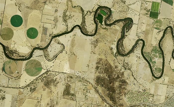
Our landcover data collections and imagery help us measure, monitor and compare the type, extent and condition of vegetation and land use across New South Wales.
This information:
- improves our understanding of landcover and landcover change
- provides the science to measure changes to our natural resources and biodiversity
- provides a consistent way to describe and map landcover and native vegetation
- supports effective decision making about land use
- contributes to legislative, environmental and land management decision making about land use
- helps identify impacts on resources, biodiversity and ecosystems
- enables statewide environmental reporting.
Monitoring vegetation clearing
We use satellite imagery combined with comprehensive human interpretation and validation to detect and report vegetation change annually. We use the Statewide Landcover and Tree Study (SLATS) to detect woody and non woody change.
NSW vegetation clearing
This report provides both annual data on woody vegetation clearing from 2009 onwards and woody and non woody vegetation clearing from 2018.
Explore further insights for statewide woody vegetation clearing 2009 to 2022 on the new NSW SLATS Insights Dashboard.
The dashboard provides interactive analysis of long-term statewide data on woody vegetation clearing, enhancing accessibility and interactivity. It presents clearing trends through time, and insights by region and plant communities across New South Wales.
Data on woody and non woody vegetation clearing from 2018 is available both statewide and for land managed under the Local Land Services Act (Category 2 regulated land).
The NSW Vegetation clearing report includes areas of vegetation clearing in hectares by landcover class and authorisations. For more information, go to NSW vegetation clearing.
Fire and vegetation change
We report on fire extent and severity each year. Fire is not considered a permanent loss of native vegetation, and no legislative reporting requirements exist.
Vegetation loss due to fire was reported as part of our Statewide Landcover and Tree Study reporting until 2018. In 2021 we started publishing annual reports on fire extent and severity across the landscape using fire extent and severity mapping.
NSW Land Use Program
Our land use program provides information on what land use activities are occurring and where across the state.
Collection of geospatial data
Remotely sensed imagery is routinely collected by the Department of Climate Change, Energy, the Environment and Water and used to map vegetation clearing. This data is spatially explicit and can be used with other datasets to identify activity on individual lots. See the Privacy collection notice (PDF 50KB).
Datasets
Our data collections and imagery are accessible through a range of applications. For example, for aerial imagery we use historical film and digital sources, and for satellite imagery we use Landsat, SPOT, Sentinel and Planet sources.
Our data collections include:
Key partners
We collaborate with: