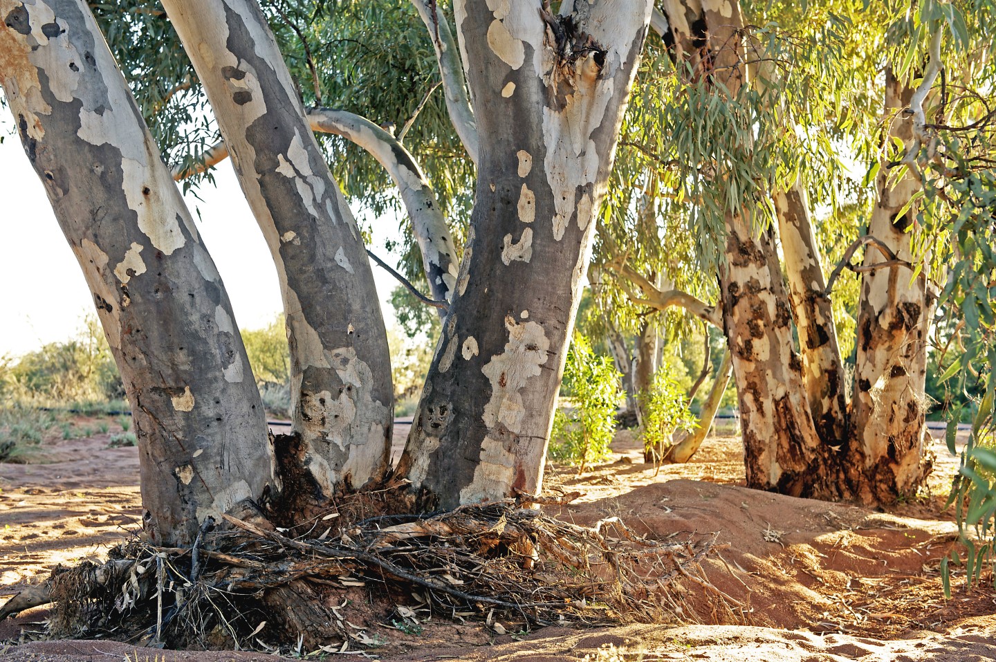
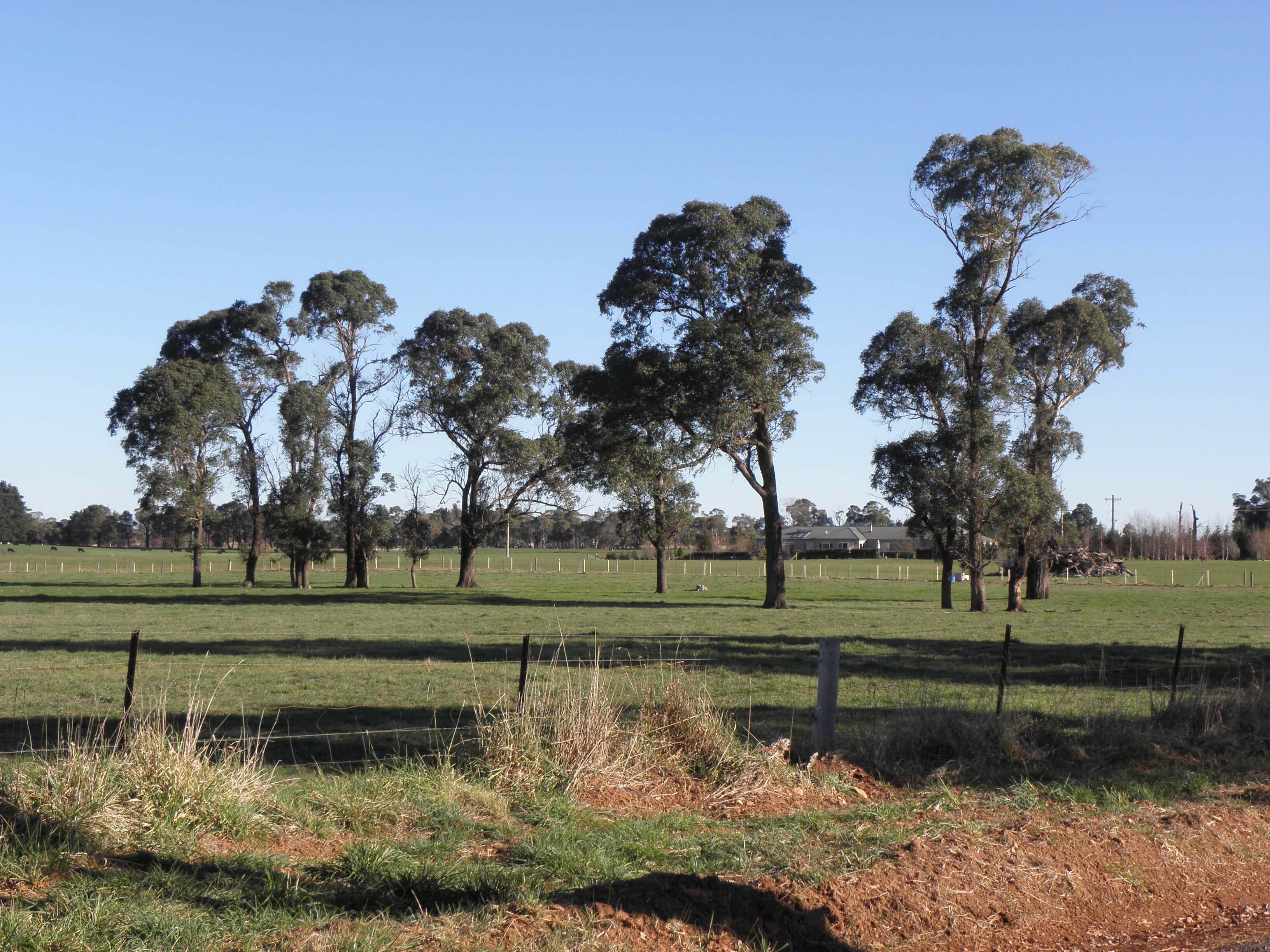
What is the Native Vegetation Regulatory map?
The Local Land Services Act 2013 (LLS Act) categorises land to determine native vegetation management options for landholders. Some vegetation management needs approval and some do not.
The transitional Native Vegetation Regulatory (NVR) Map tool can be used by landholders to display the most critical land categories, at a property scale, during the transitional period. It essentially tells you where the land management code and allowable activities are either limited or not available.
The transitional NVR Map currently displays category 2 – vulnerable regulated land, category 2 – sensitive regulated land and land that is excluded from the LLS Act. See understanding the map categories and colours below for a summary of currently published categories used in the transitional NVR Map.
What do the categories mean?
Category 1 – exempt land – native vegetation clearing is allowed without approval from Local Land Services.
Category 2 – regulated land – authorisation may be required from Local Land Services for native vegetation clearing. This may include clearing under the Land Management (Native Vegetation) Code 2018. Landholders also have a range of allowable clearing activities available to them for use without approval from Local Land Services.
Category 2 – vulnerable regulated land is designated as steep or highly erodible lands, protected riparian land or special category land. Use of the Land Management (Native Vegetation) Code 2018 and allowable clearing activities are restricted in these areas.
Category 2 – sensitive regulated land is designated as environmentally sensitive. Clearing under the Land Management (Native Vegetation) Code 2018 is not permitted in these areas, although there is a limited list of allowable clearing activities available.
Excluded land is managed outside the land management framework. Other clearing controls may exist in these areas.
Determining land categories not displayed on the map
Transitional arrangements are in place until a comprehensive NVR Map with all the land categories is published. During the 'transitional period', landholders are responsible for determining the categorisation of their land in accordance with section 60F of the LLS Act.
If you require assistance determining which categories apply to any unmapped areas on your landholding, contact the Local Land Services office in your area.
Land not categorised on the transitional NVR Map viewer is still bound by provisions of the legislation.
How the Native Vegetation Regulatory Map is made
The NVR Map is prepared using a peer reviewed scientific method (the NVR Map Method) The map is not produced by a computer algorithm. Rather, each category in the map has been developed using a combination of scientific assessment done by expert mapping scientists and the application of various data sets as specified in the LLS legislation.
The mapping process is designed to capture detectable, significant changes in the extent of vegetation or type of land use across the landscape, indicating that there has been, or is ongoing, agricultural use of the land.
The expert mapping scientists bring together multiple data sets, including satellite and aerial photography imagery, land use mapping, local council zonings, soil and vegetation mapping, threatened species and ecological communities mapping and others to inform the determination of the map category. There are around 90 different data sets used to build the NVR Map. Using multiple lines of evidence, across multiple years, rather than a single 'snapshot' of data, provides high level spatial and visually accurate data.
Detailed information about how the map was made is available in the NVR Map: Method Statement and appendices.
This video tells you more about How the map was made.
Updates
The NVR Map is designed to be a dynamic product that can be updated rapidly and regularly to reflect changes in vegetation, land uses and zonings, mapping of critically endangered plants and ecological communities and the establishment of conservation agreements. The following processes may result in changes to the NVR Map on your property:
- Landholder Initiated Map Review (Map Review)
- annual update to incorporate new or improved data
- more frequent updates capturing new information such as code certification and set-aside sites.
Updates to the NVR Map will be regular and ongoing. Landholders should always check if the map has changed before undertaking land management activities. Before undertaking vegetation clearing works, we recommend printing a date stamped copy of the map for your records. To produce a map - locate your land holding in the NVR map viewer, select 'Print' in the Tools bar, select Print again and open the image. The date stamped map can be printed or saved as a PDF.
Future publication of a draft comprehensive NVR Map showing proposed mapping of the additional categories is under consideration. When released, the draft comprehensive NVR Map categories will be available to landholders and approval authorities for information, review and consultation. Map reviews will continue to be available to landholders during and after the transitional period. See 'About the different versions of the map' on the More information page to find out more about land categories for future release.