Scheyville National Park and Pitt Town Nature Reserve are located in the Hawkesbury region approximately 50 kilometres north-west of Sydney and 5 kilometres north-east of Windsor.
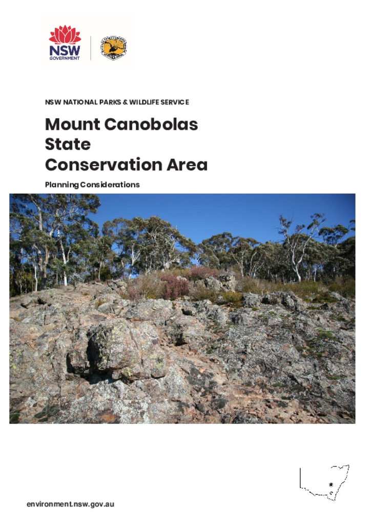
Mount Canobolas State Conservation Area is located about 15 kilometres south-west of Orange in the NSW Central West and occupies an area of 1,672 hectares.
The Myall Lakes National Park, Little Broughton Island and Stormpetrel Island Nature Reserves Plan of Management was adopted by the Minister for the Environment on 2 October 2002. Since this date, a number of additions have occurred to Myall Lakes National Park. This amendment addresses management issues and actions for the land additions around Seal Rocks and for three smaller property additions.
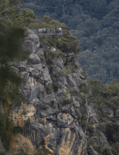
This plan of management applies to what is now Bungonia National Park and Bungonia State Conservation Area. The park is located on the southern tablelands of NSW 35 kilometres east of Goulburn. It covers an area 3971 hectares along the western side of the Shoalhaven Gorge adjacent to Morton National Park.
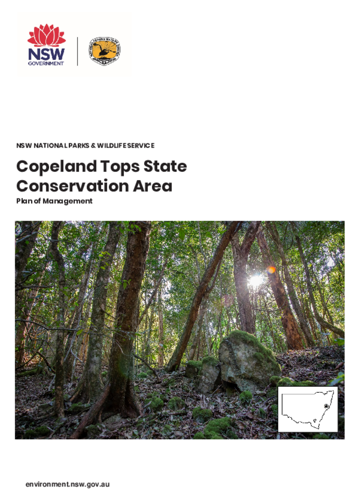
Copeland Tops State Conservation Area is in the hinterland of the NSW Mid North Coast. The reserve covers 2420 hectares of land, and lies within the traditional Country of the Worimi and Biripi People.
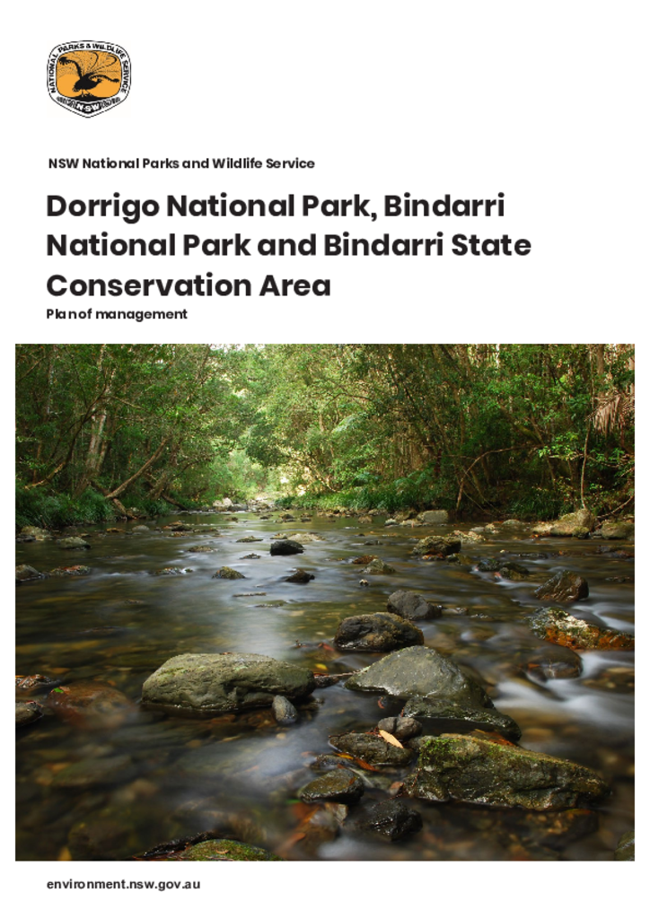
Dorrigo National Park, Bindarri National Park and Bindarri State Conservation Area are in the traditional Country of the Gumbaynggirr people. Located in the Coffs Harbour hinterland on the north coast of New South Wales, the parks have a combined area of over 17,500 hectares. This plan outlines how the natural and cultural values of these parks will be conserved.
The Mutawintji Lands consist of Mutawintji National Park (68,912 hectares), the Mutawintji Historic Site (486 hectares) and the Mutawintji Nature Reserve (6,688 hectares), known as the “Mutawintji Lands”, or the “Lands” and is located 130 kilometres north-east of Broken Hill in far western New South Wales.
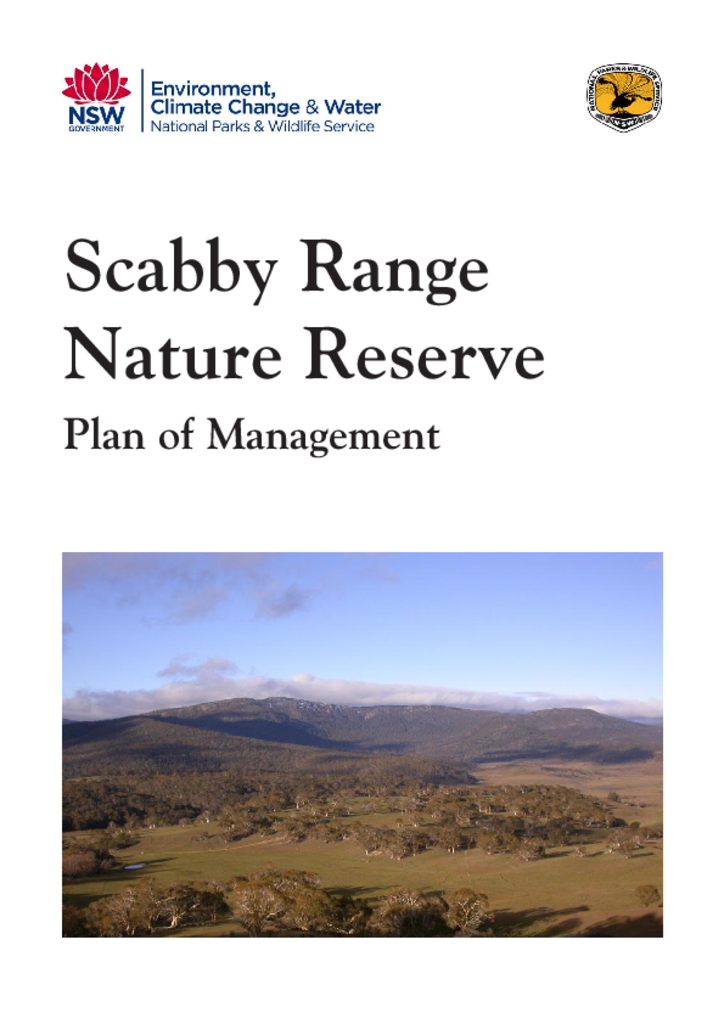
Scabby Range Nature Reserve is located approximately 60 kilometres south-west of Canberra. The reserve consists of 2 parcels of land totalling 4,982 hectares and contains a suite of vegetation types and the fauna species they support, from native grasslands in the south-west to moist subalpine forests and rocky outcrops on the reserve's highest peaks.
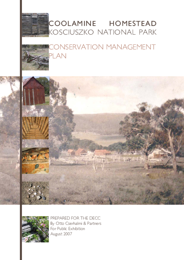
The Coolamine Homestead is a historic pastoral outstation located in the northern part of Kosciuszko National Park. The site retains two handbuilt slab and weatherboard homes, yards and log cheesehouse.