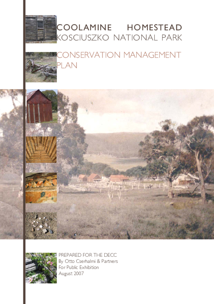
The Coolamine Homestead is a historic pastoral outstation located in the northern part of Kosciuszko National Park. The site retains two handbuilt slab and weatherboard homes, yards and log cheesehouse.
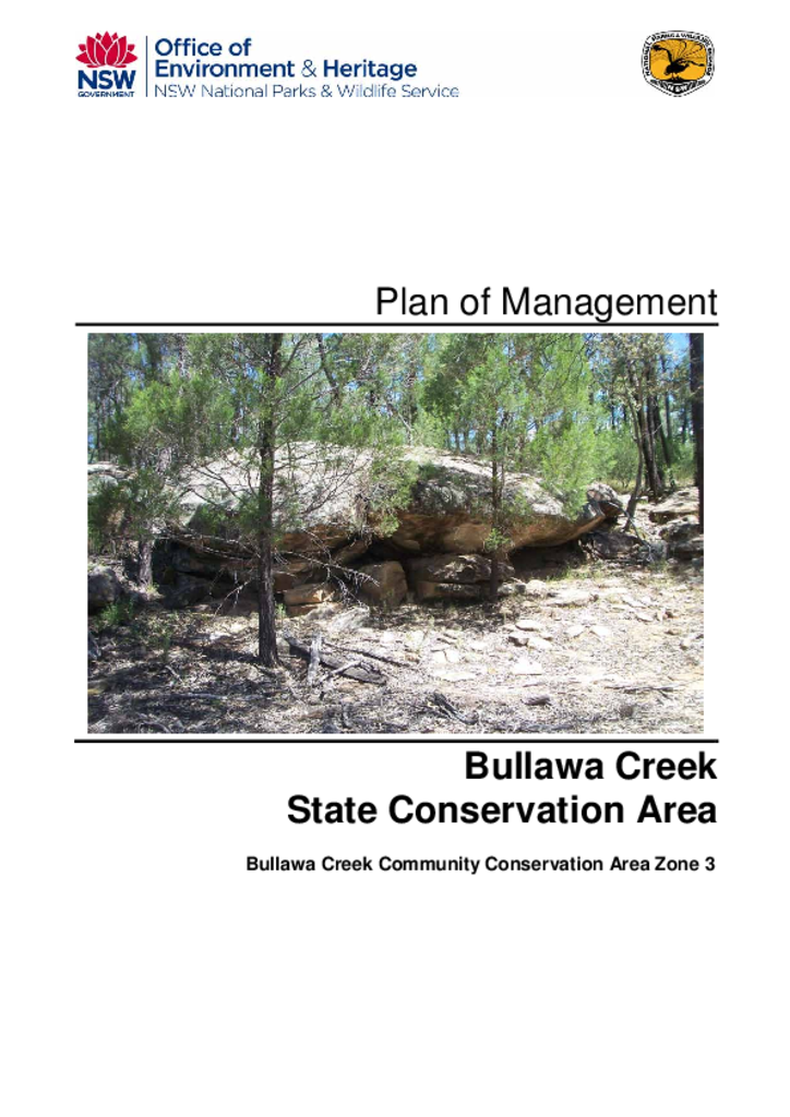
Bullawa Creek State Conservation Area covers 99 hectares and is located in the north-west plains region of NSW, approximately 10 kilometres east of Narrabri. It was reserved as a state conservation area (Community Conservation Area Zone 3) on 1 December 2005.
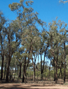
Chaelundi National Park and Chaelundi State Conservation Area are located approximately 45 kilometres south west of Grafton and 10 kilometres west of Nymboida in northern NSW. Together the parks cover an area of approximately 20,796 hectares.
Dalrymple-Hay Nature Reserve covers 10 hectares of remnant bushland in the suburb of St Ives in north-eastern Sydney. The nature reserve was established in 1972 over what was previously Dalrymple-Hay Demonstration State Forest. The State Forest was named after Richard Dalrymple-Hay, the first Commissioner of Forests in NSW, who proposed the acquisition of the land for a demonstration forest in the 1920s.
Kosciuszko National Park, which encompasses 673,542 hectares, is the largest national park in New South Wales and one of the most complex conservation reserves in Australia.
Lane Cove National Park is located in the Sydney metropolitan area. It covers an area of 670 hectares, stretching along the Lane Cove River from Wahroonga and Thornleigh to East Ryde.
Nowendoc National Park, Ngulin Nature Reserve and Tuggolo Creek Nature Reserve are located approximately 50 kilometres south of Walcha, and cover a combined area of 19,270 hectares.
The Maynggu Ganai Historic Site is located 360 kilometres south-west of Sydney and 2.3 kilometres south of Wellington, NSW. It is an archaeological landscape which contains relics of convict agricultural settlement which was later replaced by a religious mission for Aboriginal people.
Ingalba, Big Bush and Pucawan Nature Reserves are located on southwestern slopes of New South Wales. Ingalba Nature Reserve is situated 10 kilometres west of Temora and Pucawan Nature Reserve a further 6 kilometres west. Big Bush Nature Reserve is 15 kilometres northwest of Temora. All three reserves are located within Temora Shire.