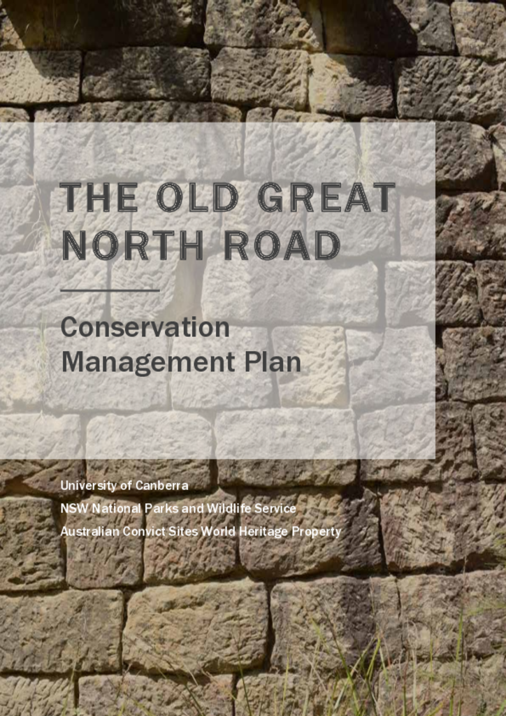
The Great North Road was built using convict labour between 1826 and 1836, spanning the 264-kilometre distance between Sydney and the Hunter Valley. The Old Great North Road is a 43-kilometre stretch of this road that retains some of the best examples of our convict heritage.
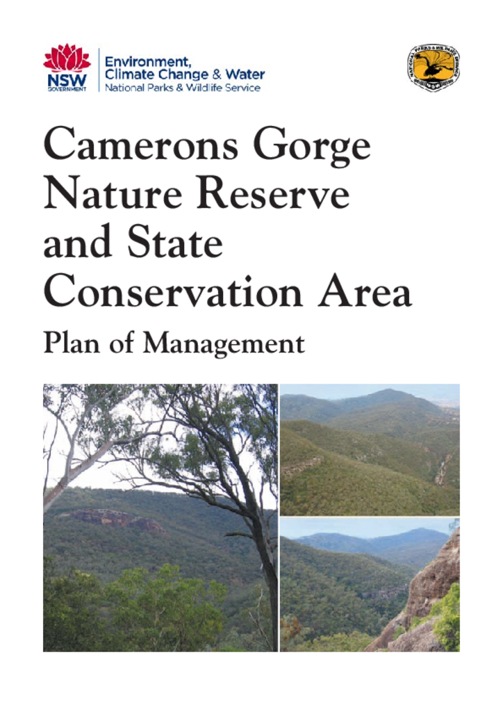
Camerons Gorge Nature Reserve and State Conservation Area are located near Scone in the Upper Hunter valley. Camerons Gorge Nature Reserve has an area of 1,318 hectares and Camerons Gorge State Conservation Area has an area of 429 hectares.
Culgoa National Park is located in north-western NSW, 40km west of Goodooga and 100km north of Brewarrina. The park was reserved in 1996 and has an area of 22,430 hectares.
This plan of management applies to what is now Lachlan Valley Nature Reserve. The reserve covers an area of 437 hectares and is located approximately 19 kilometres south of Booligal and 56 kilometres north of Hay in western New South Wales.
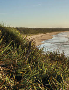
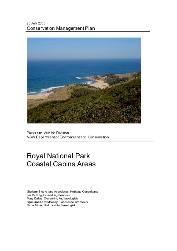
Royal National Park was established in 1879 and has been managed by the NSW National Parks and Wildlife Service (NPWS) since 1967. There are around 200 cabins in Royal National Park located at South Era, Burning Palms, Little Garie and Bulgo. The cabins are generally simple structures built in the absence of planning controls, major infrastructure and services. They are currently occupied (for short-term recreational use) under licence agreements.
Dooragan National Park is located immediately south of Laurieton and approximately 25 kilometres south of Port Macquarie on the mid-north coast of New South Wales. The park is 1,042 hectares in size and encompasses North Brother Mountain, the northern most of the Three Brother Mountains.
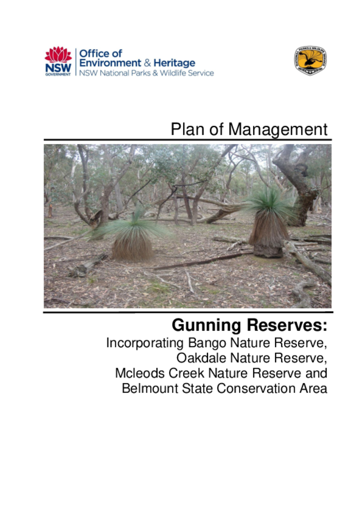
The four Gunning Reserves, located south and west of Gunning in the Southern Tablelands of NSW, have a combined area of 885 hectares comprising of Bango, Oakdale and McLeods Creek Nature Reserves and the Belmount State Conservation Area.