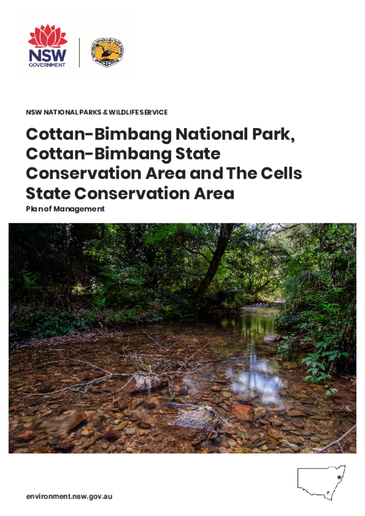
Cottan-Bimbang National Park, Cottan-Bimbang State Conservation Area and The Cells State Conservation Area are located between Wauchope and Walcha in the hinterland of the NSW North Coast. The parks cover 35,492 hectares and are in the traditional Country of the Birpai and Dunghutti tribal nations.
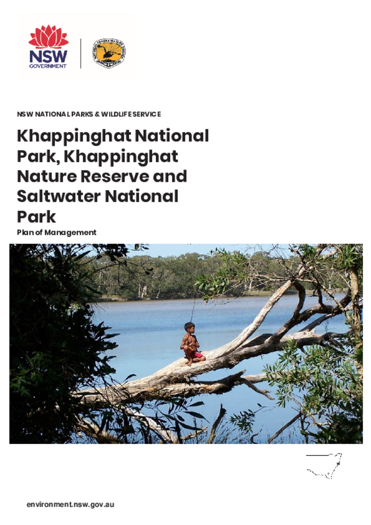
Khappinghat National Park, Khappinghat Nature Reserve and Saltwater National Park are located on the NSW mid north coast, approximately seven kilometres south-east of Taree.
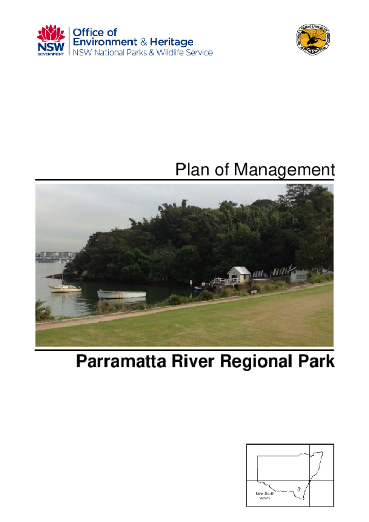
Parramatta River Regional Park is located at Bedlam Bay, on the northern bank of the Parramatta River just west of the Gladesville Bridge, approximately 10 kilometres from Sydney’s central business district.
Tumblong State Conservation Area covers 746 hectares and lies 30 kilometres north-west of Tumut and 15 kilometres north of Adelong on the south west slopes of New South Wales.
Turallo Nature Reserve is located in the southern tablelands of NSW, approximately 3 kilometres south of Bungendore. The reserve covers an area of 25 hectares.
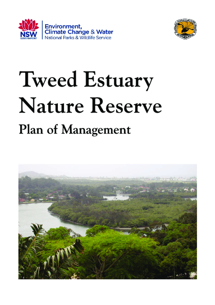
Tweed Estuary Nature Reserve is located on the far north coast of NSW. The reserve comprises four estuarine islands: Caddys, Daveys, Big, and Womgin Islands, which collectively cover an area of approximately 59 hectares.
Tweed Heads Historic Site and Ukerebagh Nature Reserve is located in the rapidly developing urban area of South Tweed Heads in far northern NSW. It is within and adjacent to the estuary of the Tweed River.
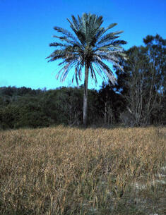
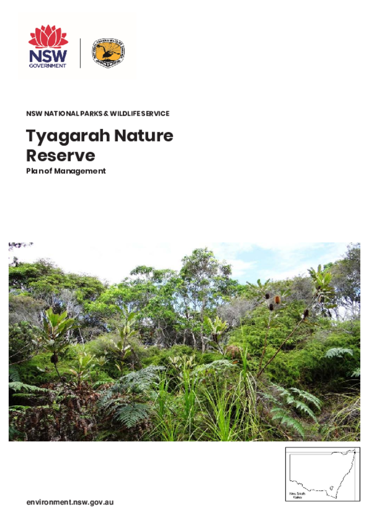
Tyagarah Nature Reserve is 875 hectares and is located between the townships of Byron Bay and Brunswick Heads on the NSW Far North Coast. It is in the traditional Country of the Bundjalung of Byron Bay (Arakwal) people.
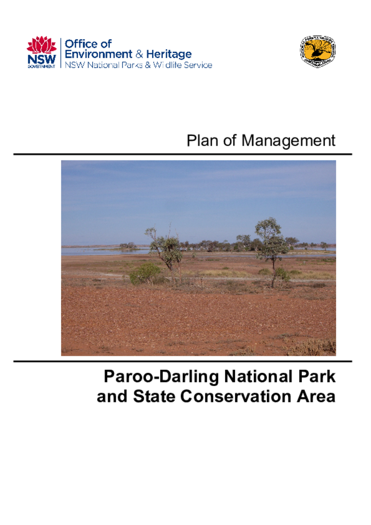
Paroo-Darling National Park and State Conservation Area are located in far western New South Wales, near the towns of Wilcannia and White Cliffs. They cover a combined area of 219,574 hectares.