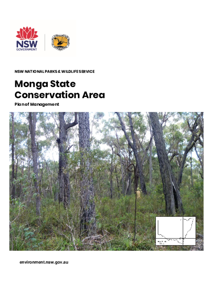
Monga State Conservation Area is located on the Southern Tablelands of NSW, east of Braidwood. It was reserved in 2005, with minor additions in 2009 and 2014 and covers approximately 1009 hectares.
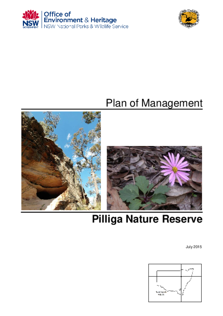
Pilliga Nature Reserve is located between Coonabarabran and Narrabri on the north-west slopes of the Great Dividing Range. The nature reserve covers about 80,000 hectares and adjoins significant areas of state forest.
Wallabadah Nature Reserve is situated 50 kilometres north east of Scone and covers an area of 1,132 hectares. It was first reserved in 1971 as a fauna reserve.
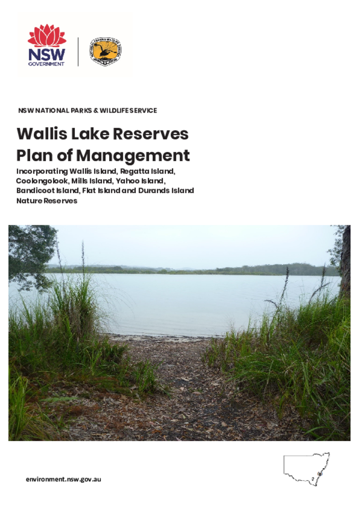
The Wallis Lake reserves are located on or adjoining the Wallis Lake estuary on the Mid North Coast of New South Wales. The urban centres of Forster and Tuncurry are located approximately one kilometre north-east of Wallis Island Nature Reserve.
Wallumatta Nature Reserve is a small reserve, only 6.195 hectares in size, located in the Sydney suburb of East Ryde. It is bounded by sealed roads and residential development.
Wamberal Lagoon Nature Reserve is located on the Central Coast of NSW approximately l0 kilometres east of Gosford between the regional centres of Terrigal and The Entrance.
Crawney Pass National Park Community Conservation Area Zone 1 is located atop the Liverpool Range. To the north, the park drains into the Murray–Darling Basin and to the south it drains to the coast via the Hunter River. It is 22 kilometres south-west of Nundle, 70 kilometres south of Tamworth and 70 kilometres northeast of Scone.
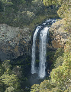
The Far South Coast Escarpment Parks include Monga National Park, Deua National Park, Gourock National Park, Wadbilliga National Park and Badja Swamps Nature Reserve. The parks are located on the coastal ranges of South Eastern New South Wales and cover a combined area of over 240,000 hectares.
Guy Fawkes River National Park, Nature Reserve and State Conservation Area are located on the eastern edge of the New England Tablelands and the western edge of the Dorrigo Plateau, in north eastern NSW. Guy Fawkes River National Park consists of 100,590 hectares, Guy Fawkes River Nature Reserve consists of two sections totalling 1,534 hectares and Guy Fawkes River State Conservation Area consists of two sections totalling 5,240 hectares.