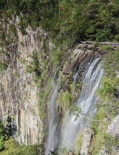
Broulee Island Nature Reserve is located on the South Coast of NSW adjacent to the seaside village of Broulee and covers the entire 43 hectares of Broulee Island to mean high water mark. A tombolo currently connects Broulee Island to the mainland at Broulee Head.
Cadmans Cottage Historic Site consists of a 2 storey Georgian sandstone building, a one storey addition and surrounding yard, which is located in the Rocks area of Sydney adjacent to Circular Quay.
Hortons Creek Nature Reserve is 327 hectares in size and located approximately 8 kilometres south-west of Nymboida on the Grafton-Armidale Road in north-eastern NSW.
Ironbark Nature Reserve and Bornhardtia Voluntary Conservation Area are located on the north-western slopes of the New England Tablelands, 85 kilometres north of Tamworth and 75 kilometres west of Armidale.
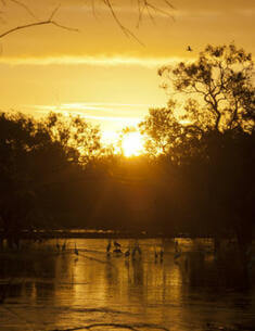
Kinchega National Park is located 113 kilometres south-east of Broken Hill adjacent to the town of Menindee. It covers 44,182 hectares extending southwards from Menindee for 62 kilometres along the Darling River.
Kumbatine National Park and Kumbatine State Conservation Area are located south of Kempsey on the mid-north coast of NSW, and have a combined area of 15,883 hectares.
Wombeyan Karst Conservation Reserve covers an area of 417 hectares and is located in the Southern Highlands of New South Wales, 190 km south-west of Sydney, 77 km north of Goulburn and 63 km west of Mittagong. The reserve is located within Wingecarribee and Mulwaree local government areas. Within the reserve the boundary between the 2 local government areas is Wombeyan Creek.