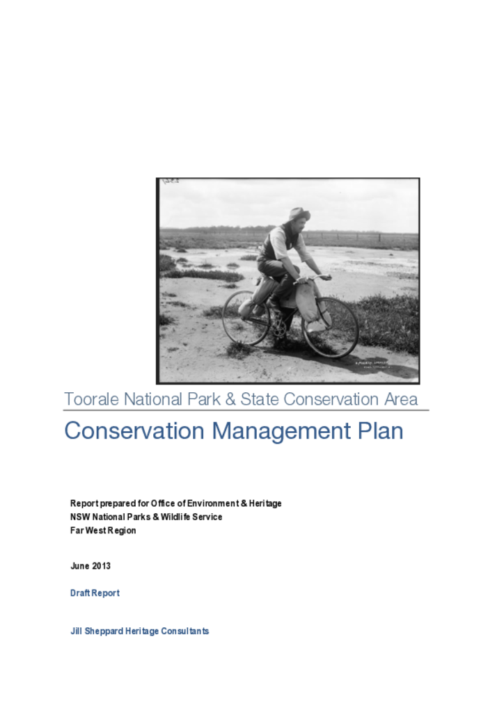
This report represents the main outcomes and recommendations of the Toorale Conservation Management Plan. The study area for this report addresses the extent of the former station as acquired by the federal and NSW state governments in 2008.
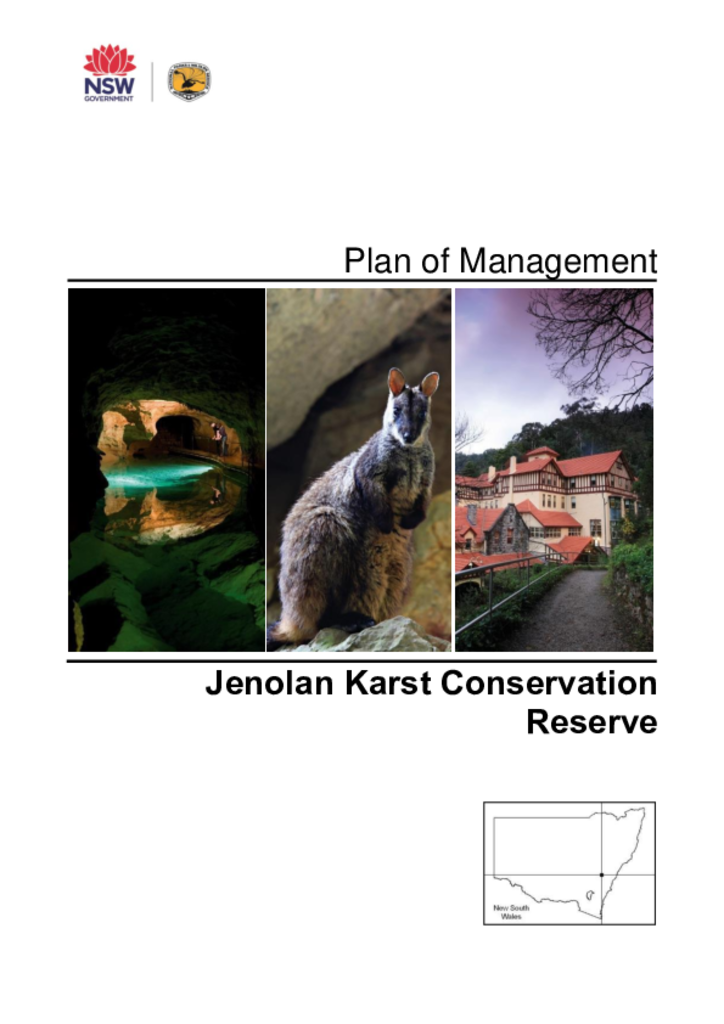
The Jenolan Karst Conservation Reserve is part of the Greater Blue Mountains World Heritage Area and is located in the south-east highlands of New South Wales, near Oberon and south-west of Katoomba. The reserve covers an area of 3,085 hectares and is part of the traditional Country of the Gundungurra and Wiradjuri Aboriginal People.
Kanangra-Boyd National Park comprises 68,661 hectares of mostly rugged terrain on the eastern fall of the Great Dividing Range. The park is located about 130 kilometres west from Sydney and is accessible by vehicle from the Oberon plateau.
Kororo Nature Reserve lies approximately three kilometres north of Coffs Harbour on the mid-north coast of NSW. It is 11 hectares in area and was gazetted in 1967 for the protection, care, propagation and promotion of the study of fauna, particularly koalas.
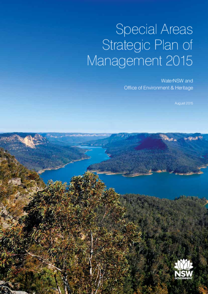
Special Area lands that surround and protect drinking water supply storages and are declared under the Water NSW Act 2014. Under this legislation, WaterNSW and the NSW National Parks and Wildlife Service are required to jointly manage the Special Areas.
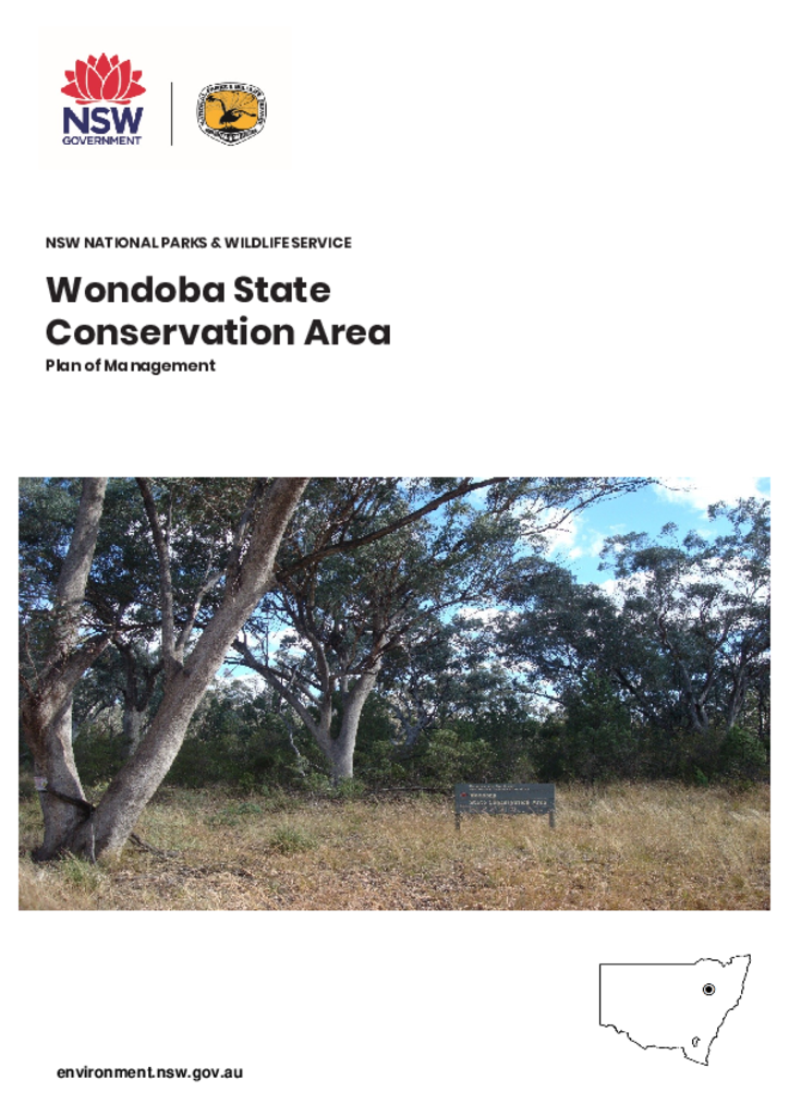
Wondoba State Conservation Area is located approximately 13 kilometres south-west of Gunnedah on the Wandobah Road. The park is 1,669 hectares and has a boundary 26.6 kilometres in length.
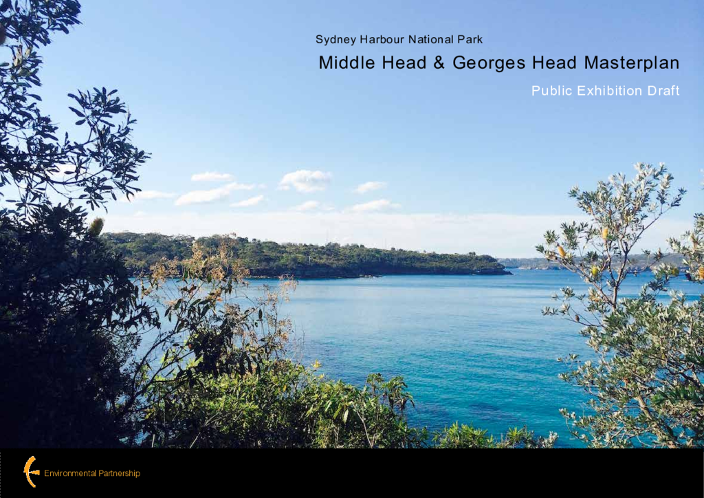
The Office of Environment and Heritage (OEH) has prepared a draft master plan for the Middle Head and Georges Head precincts of Sydney Harbour National Park.
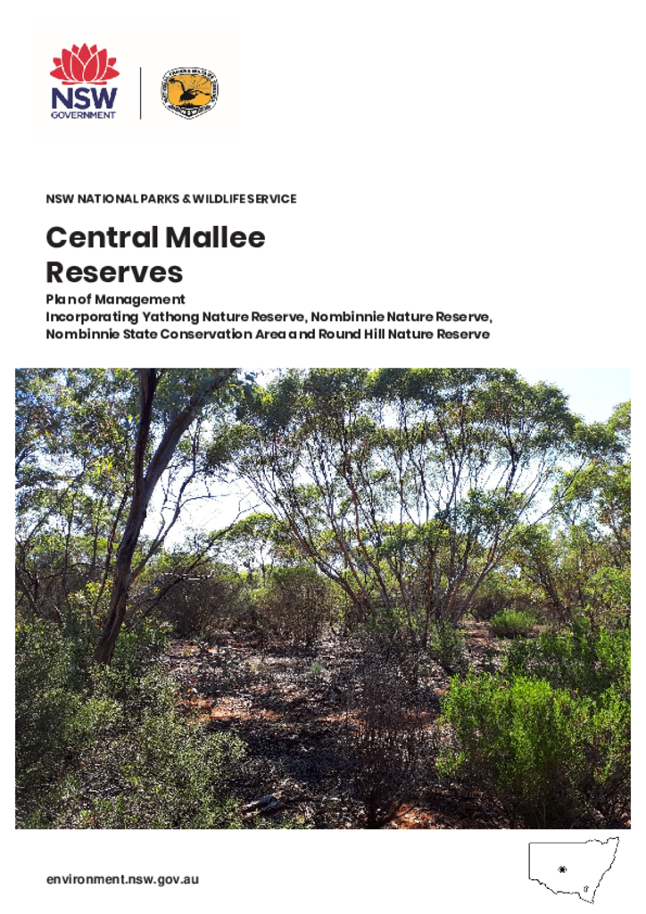
The Central Mallee Reserves cover 248,435 hectares and are located about halfway between Griffith and Cobar in Central-West NSW on Ngiyampaa Country. They are significant as the largest mallee remnant in the NSW reserve system and provide important habitat for mallee specialist plants and animals. Research conducted in these reserves over many years contributes to the understanding and management of semi-arid landscapes throughout Australia.
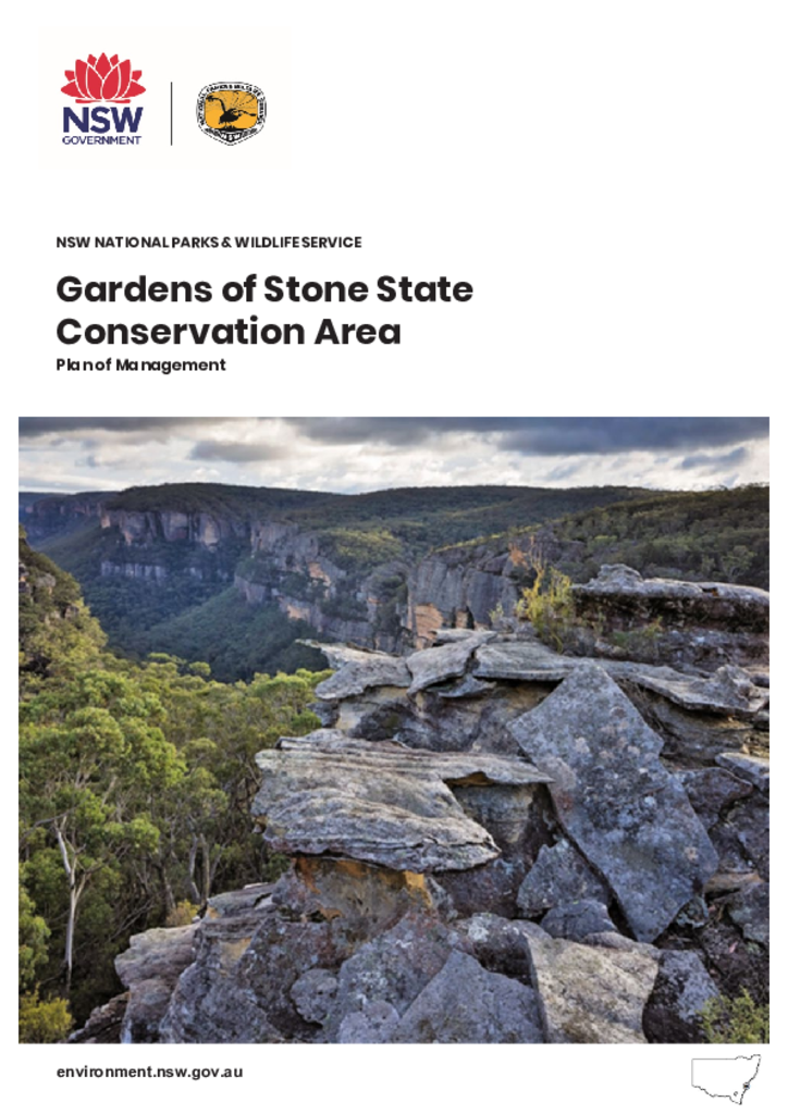
The park is located approximately 5 kilometres north of Lithgow and 140 kilometres west of Sydney at the junction of the Great Dividing Range and the Blue Mountains Range in the NSW Central Tablelands region. It adjoins Blue Mountains National Park to the east and Wollemi National Park and Gardens of Stone National Park to the north.