The 10 Northern Monaro Reserves have a combined area of 10,814 hectares. They comprise 8 nature reserves and 2 state conservation areas located between Bredbo and Nimmitabel in southern New South Wales.
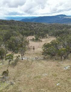
South East Forest National Park and Egan Peaks Nature Reserve are adjoining reserves that together cover 117,644 hectares of rugged escarpment country west of Bega and Eden in south-eastern NSW. The two areas are part of a system of conservation reserves along the great eastern escarpment and are linked to other reserves that protect the coastline and coastal hinterland.
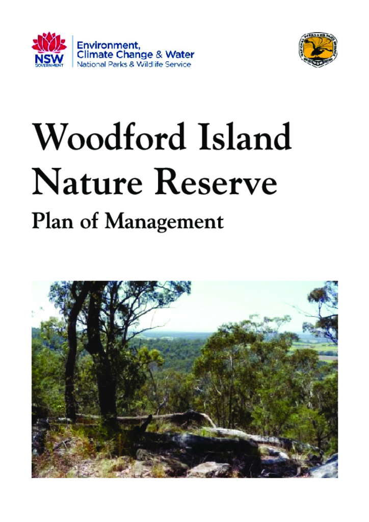
Woodford Island Nature Reserve is located north-east of Grafton and 6 kilometres south-west of Maclean. It was established in 1999 over a small part of Woodford Island, mainly the higher elevation areas, and has an area of 374 hectares.
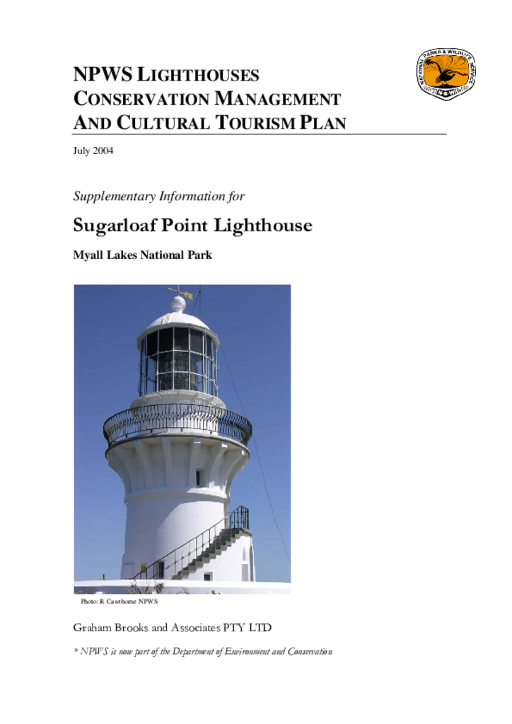
The Sugarloaf Point Lighthouse on Seal Rocks in Myall Lakes National Park was built in 1875. It is one of 10 historic lighthouses under the management of the NSW National Parks and Wildlife Service.
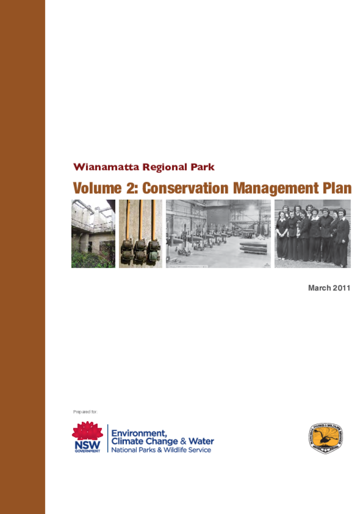
Wianamatta Regional Park includes 900 hectares of the former Australian Defence Industries Site (ADI Site) which covered a total area of some 1545 hectares. This Conservation Management Plan recognises that the park will be formally gazetted as a regional park under the National Parks and Wildlife Act 1974 (New South Wales).
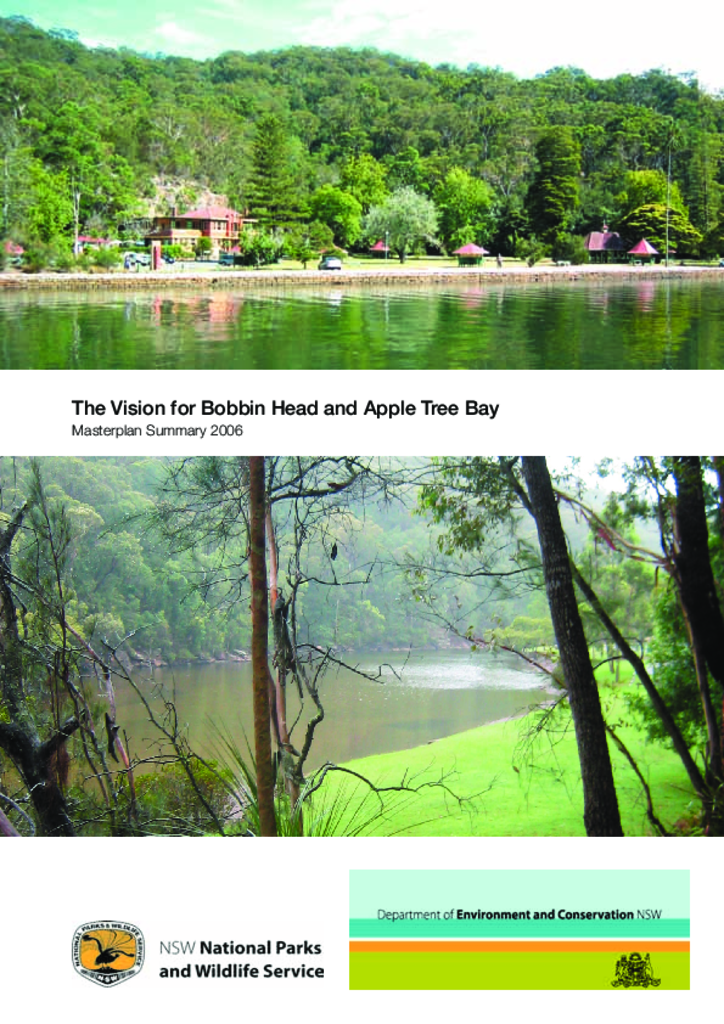
National Parks and Wildlife Service recognised that Bobbin Head and Apple Tree Bay required revitalising without compromising the natural and cultural heritage of the parklands. The Masterplan provides strategic direction, objectives, opportunities and actions for management to achieve a Vision for upgrading parklands and amenities in a staged approach.
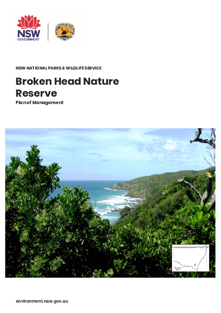
Broken Head Nature Reserve is 110 hectares of land located on the far north coast of NSW, 7 kilometres south of Byron Bay. It is in the traditional Country of the Bundjalung of Byron Bay (Arakwal) people.
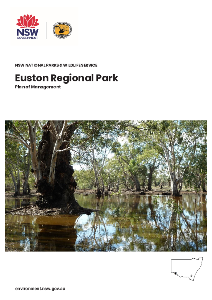
Euston Regional Park has frontage to the Murray River just outside of Euston, approximately 80 kilometres west of Balranald in the far west of New South Wales. The park covers 3274 hectares and is within the traditional Country of the Kureinji People.
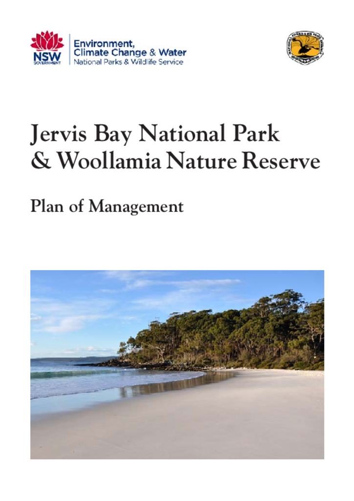
Jervis Bay National Park is located 20 kilometres south-east of Nowra around the northern and western shores of Jervis Bay. Woollamia Nature Reserve is located immediately west of the national park. The national park covers an area of 5,247 hectares while the nature reserve is 452 hectares in size.