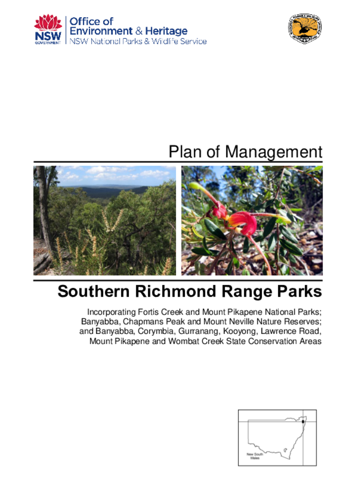
A NSW Government website

Park management documents

Filter results
Showing results 451 - 460 of 1467 results
Preview Image
01 Dec 2010
PDF 1.23 MB
Woodford Island Nature Reserve is located north-east of Grafton and 6 kilometres south-west of Maclean. It was established in 1999 over a small part of Woodford Island, mainly the higher elevation areas, and has an area of 374 hectares.
Plan of management Final
Preview Image
01 May 2010
PDF 650.28 KB
Jerrawangala National Park and Parma Creek Nature Reserve are adjacent conservation areas located south-west of Nowra. The national park is primarily plateau bordered by escarpment and has an area of 4,013 hectares. The nature reserve is fairly flat, cut by a small gorge along Parma Creek, and has an area of 3,486 hectares.
Plan of management Final
Preview Image
01 Jul 2001
PDF 46.09 KB
Lake Urana Nature Reserve is located in the Riverina, about 37 kilometres east of Jerilderie and 10 kilometres west of Urana. It lies on the shore of Lake Urana, an intermittent lake filled by flood flows. The reserve has an area of 302 hectares and was dedicated in 1996.
Plan of management Final
Preview Image
01 Sep 2000
PDF 417.17 KB
Morton and Budawang National Parks are located on the rugged eastern escarpment of the Southern Tablelands between Bundanoon and Braidwood. They have a combined area of 194,193 hectares.
Plan of management Final
Preview Image
01 Jan 2003
PDF 7.48 MB
The site of these historic buildings covers a large area of the headland at Middle Head, in Sydney Harbour. The structures were built between 1870 and 1945 to support the defence of Sydney Harbour. Many of the buildings were demolished before the site was made part of Sydney Harbour National Park in 1980.
Conservation management plan Final
A 424-hectare property near Kybeyan Nature Reserve near Cooma
01 Apr 2012
PDF 1.57 MB
The 10 Northern Monaro Reserves have a combined area of 10,814 hectares. They comprise 8 nature reserves and 2 state conservation areas located between Bredbo and Nimmitabel in southern NSW.
Plan of management Final
Preview Image
01 Aug 2008
PDF 305.85 KB
South East Forest National Park and Egan Peaks Nature Reserve are adjoining reserves that together cover 117,644 hectares of rugged escarpment country west of Bega and Eden in south-eastern NSW. The two areas are part of a system of conservation reserves along the great eastern escarpment and are linked to other reserves that protect the coastline and coastal hinterland.
Plan of management Final
Preview Image
01 Aug 2006
PDF 601.81 KB
National Parks and Wildlife Service recognised that Bobbin Head and Apple Tree Bay required revitalising without compromising the natural and cultural heritage of the parklands. The Masterplan provides strategic direction, objectives, opportunities and actions for management to achieve a Vision for upgrading parklands and amenities in a staged approach.
Master plan Final
Preview Image
01 Nov 2009
PDF 980.02 KB
Woomargama National Park, Woomargama State Conservation Area, Mullengandra Nature Reserve and Mullengandra State Conservation Area are located approximately 20 kilometres south-east of Holbrook and 30 kilometres north-east of Albury on the South West Slopes of NSW.
Plan of management Final
Preview Image
01 Feb 2011
PDF 902 KB
Jervis Bay National Park is located 20 kilometres south-east of Nowra around the northern and western shores of Jervis Bay. Woollamia Nature Reserve is located immediately west of the national park. The national park covers an area of 5,247 hectares while the nature reserve is 452 hectares in size.
Plan of management Final