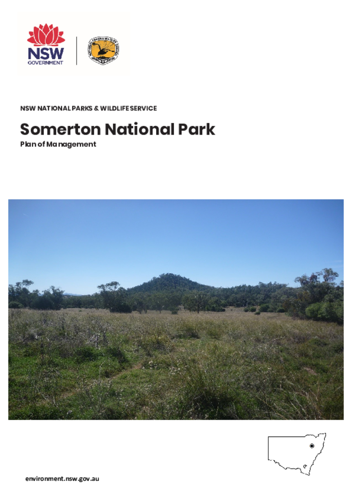
Somerton National Park is located approximately 40 kilometres east of Gunnedah and 14 kilometres south-west of the township of Somerton. The park is 760 hectares and forms part of a chain of reserves stretching the length of the Brigalow Belt South and Nandewar bioregions.
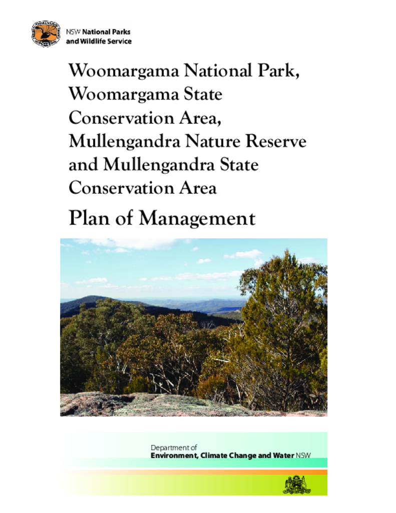
Woomargama National Park, Woomargama State Conservation Area, Mullengandra Nature Reserve and Mullengandra State Conservation Area are located approximately 20 kilometres south-east of Holbrook and 30 kilometres north-east of Albury on the South West Slopes of NSW.
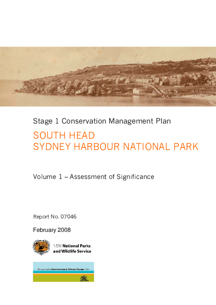
South Head forms the southern edge of the entrance to Sydney Harbour. Most of the area has been a national park since 1977, with Gap Bluff added in 1982. The site has rich natural and cultural heritage values, including at least 11 Aboriginal sites.
Eagles Claw Nature Reserve covers an area of about 1 hectare on a section of rugged coastline in the locality of Lookout Point at Eden on the far south coast of New South Wales.
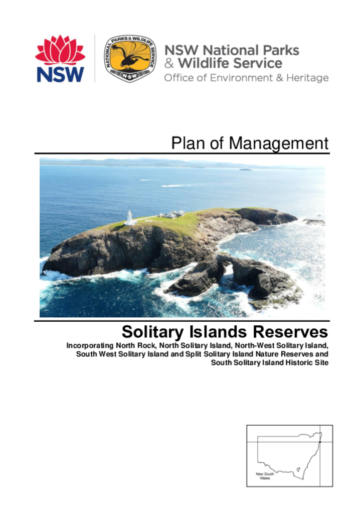
The Solitary Islands reserves comprise 5 nature reserves and the South Solitary Island Historic Site, all of which were reserved between 1959 and 2010. Totalling an area of 46 hectares, these island reserves are located between one and 12 kilometres offshore from Coffs Harbour on the NSW north coast.
Wooyung Nature Reserve is located on the far north coast of New South Wales between Pottsville and Wooyung. The reserve consists of 87 hectares of coastal land bisected by the Tweed Coast Road. It includes approximately 2.5 kilometres of Mooball Beach and Wooyung Beach.
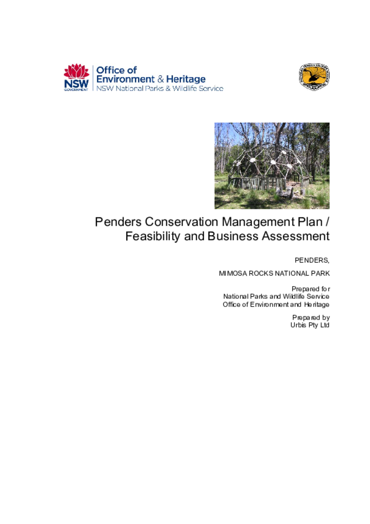
Located on the far south coast of NSW, the 220-hectare Penders property contains several buildings designed by the prominent architect Sir Roy Grounds. The property was added to Mimosa Rocks National Park in 1979.
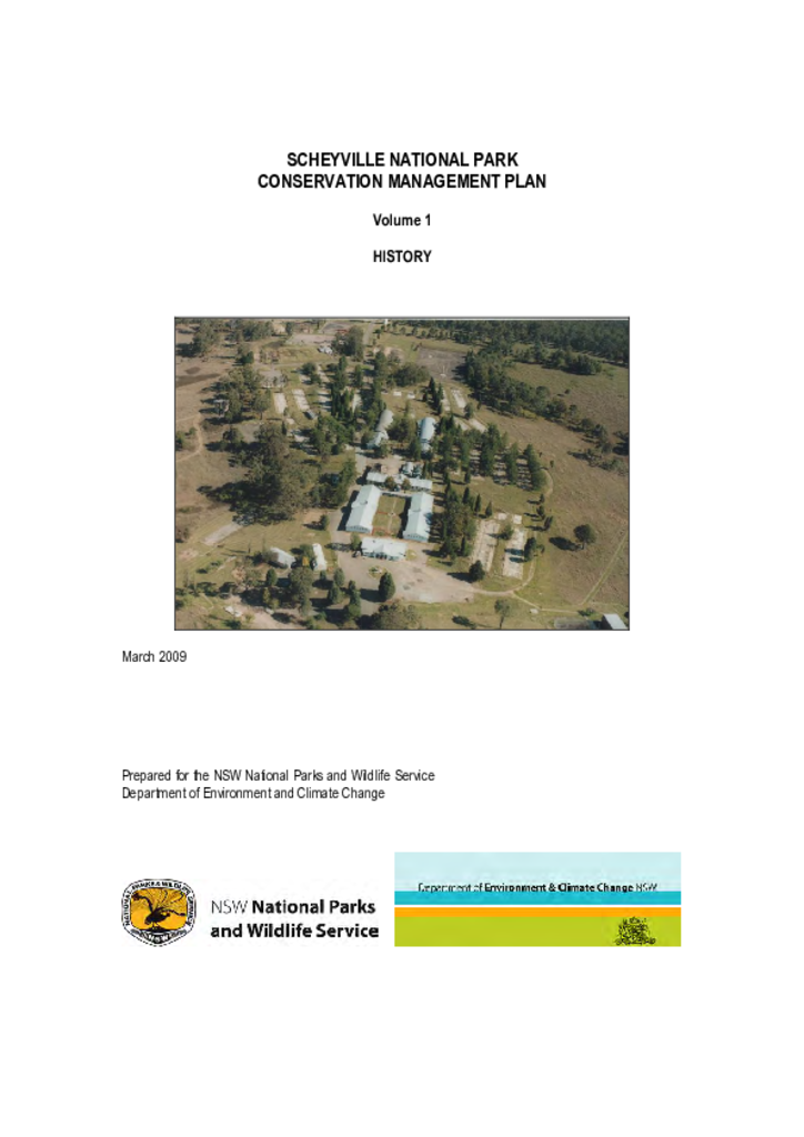
Scheyville National Park is located in the Hawkesbury region, about 50 kilometres north west of Sydney. The park has a rich Aboriginal history, with colonial occupation increasing agricultural use of the area from the 1800s.
Boronga, Boomi and Boomi West Nature Reserves are situated in the far north of the north-west slopes and plains region of New South Wales, some 17 kilometres south of the Queensland Border along the Goondiwindi-Mungindi road in the vicinity of the town of Boomi.