Willala Aboriginal Area is situated on the eastern edge of the Pilliga Forest about 70 kilometres east of Baradine and covers an area of 1,347 hectares. It was reserved in 2005 under the Brigalow and Nandewar Community Conservation Area Act 2005 because of its significant Aboriginal cultural heritage values.
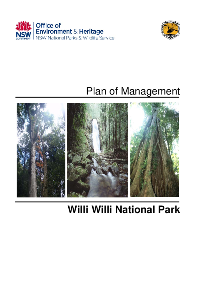
Willi Willi National Park covers an area of 30,030 hectares on the eastern fall of the Great Dividing Range, approximately 50 kilometres west of Kempsey on the Mid North Coast of New South Wales.
Flaggy Creek and Tallawudjah Nature Reserves are located in the Clarence Valley, on the north coast of NSW. Flaggy Creek Nature Reserve is located approximately seven kilometres north of Glenreagh, on the Orara Way. Tallawudjah Nature Reserve is located west of Flaggy Creek Nature Reserve, approximately seven kilometres north-west of Glenreagh.
Mount Dowling Nature Reserve lies about 65 kilometres south of Queanbeyan and 15 kilometres east of Bredbo, off the Bredbo-Jerangle Road. The reserve is 513 hectares in size and encompasses Mount Dowling, from which it gets its name.
Goorooyarroo Nature Reserve is situated adjacent to the eastern ACT border, 6 kilometres north of Queanbeyan. It is comprised of two portions of land totalling 290 hectares in size.
Wiesners Swamp Nature Reserve is located in the Riverina, approximately 50 kilometres north-west of Albury and 8 kilometres north-east of the small town of Walbundrie. The reserve was gazetted in 1996 and has an area of 103 hectares.